Tasmania weather: Road closures Latrobe, Railton, Launceston, Sheffield
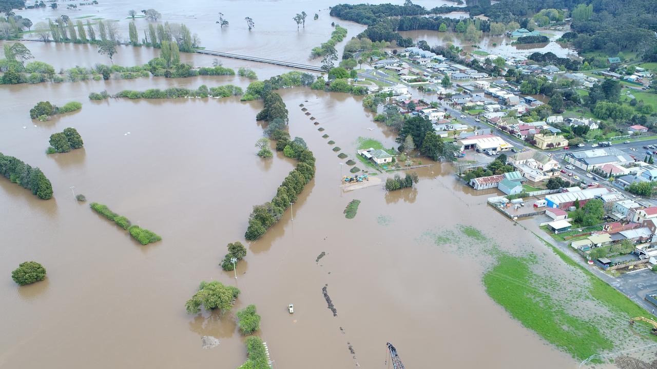
More than 120 roads have been affected by flooding across Tasmania’s north, north-west, central and east. Check the full updated list here.

Roads are closing all over the north of the state as flooding wreaks havoc on Tasmania.
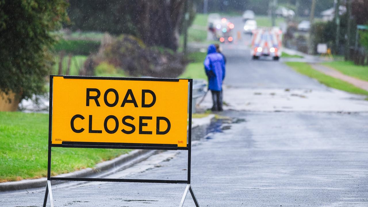
Tasmania Police has warned all motorists intending to travel, particularly in the north and north west to take note of the closed roads and drive to conditions that “may deteriorate rapidly” as heavy rain continues to fall.
Reduced visibility in heavy rain will make road conditions dangerous during between Wednesday and Friday in parts of the North West Coast, Central North, North East and Central Plateau.

Water On Road
- Beulah Road (Parts)
- Blessington Road, St Leonards
- Blessington Road, Blessington – Possible detour via Sawpit Road
- Buster Road, Melrose – water acrosss the road on Bellamys Rd, west of Wylies Rd on Forthside.
- Dalrymple Road near the intersection of Industry Road
- Esk Main Road, St Marys
- Esk Main Road, Fingal. Between Avoca and Fingal west of the Ormley Property
- Exton Road Meander valley to Osmaston Road
- Goderich Street, Invermay
- Greens Beach Road, Kelso, closer to the Radio Tower
- Interlaken Road, approaching Oatlands
- Low Head Road, in the area of the Caravan Park. Increasing water level, approach with care.
- Murchison Highway, Parrawe
- Notley Gorge Road and Turkey Farm Road, Bridgenorth Road, increasing water level
- Oppenheims Road, Moriarty
- Scott Street, Branxholm
- Stowport Road, Stowport
- Paloona Road, Melrose
- Paradise Road
- Pine Road, Riana – outside 1408 Pine Road
- Pipers River Road, Karoola
- Poatina Road, Cramps Bay
- Tasman Highway, Goshen 13km North of St Helens
- Tyne Road
- Westwood Road, Westwood – east of the bridge
- Williams Road, Wilmot near Forth Falls Creek
Hazardous Roads/Trees over roads
- Auburn Road, Beaconsfield
- Bradys Lookout Road, Rosevears – both lanes obstructed
- Bridport Road is open but use extreme caution
- Bridgenorth Road near Long Plains Road, Bridgenorth
- Fortescue Bay Road – Trees over the parts of the road (as at 15/10 10.30am)
- Old Bangor Tram Road, Mount Direction – Tree over the road
- Olivers Road, Mt Claude, landslip, 1 lane blocked.
- Sheppard Avenue, Hillwood
Roads Closed
- Bakers Beach Road, completely flooded in several areas.
- Bashan Road, Swinging Bridge
- Baxters Road – Bridge
- Browns Creek Road, Bakers Beach, flooded.
- Bonneys Plain Road, Avoca
- Bridgenorth Road between Ecclestone and Roseburn
- Bridle Track Road between Railton Road and Sheffield Road
- Browns Bridge Road – At the Bridge
- Buster Road, Melrose (Devonport)
- Cape Portland Road
- Chromys Road, Takone
- Cressy Road at Lees Bridge
- Delantys Road, Biralee Road
- Dynans Bridge Road
- East Parade Deloraine, Near East Barrack Street
- Ferny Hill Road,
- Formby Street, Sheffield
- Frankford Road, several bridges washed out between Biralee Road and Harford.
- Glenesk Road
- Henry Street, Launceston.
- Howell Lane to Forth Road, Don
- Isis Road, between Glen Connell and View Point Property
- Jones’ Road, Liffey
- Killafaddy Road, St Leonards
- Lake Augusta Road
- Liffey Road, near Gulf Road, Bridge washed away.
- Lees Bridge, Cressy
- Leighlands Road, Evandale, water over road at South Esk River.
- Lewis Road – Bridge
- Leona Road, Avoca
- Loongana Road at Leven River Bridge
- Lottah Road, St Helens
- Lowana Road, Gunns Plains
- Lower Beullah Road (Entire Road)
- Lochner Road, Latrobe
- Mayberry Road off Lienna Road.
- Meander Valley Road, Between Hadspen and Bass Highway Launceston turn off
- Mersey Lea Road, Railton
- Mole Creek Main Road, Lobster creek bridge, Sassafras Creek Bridge
- Mersey Lea Road
- Mole Creek Main Road (Closed from Sassafras Creek to Lobster Creek at Chudleigh)
- Mount Arthur Road, Patersonia
- Myella Road between Myalla and Lapoinya Road
- Native Plains Road to Mersey Lea Road to Native Rock
- Newhaven Road, Mawbanna between Mawbanna Road and Montumana Road
- Old Waterhouse Road – between Forester Road & Ponderosa Road
- Oonah Road, Highclere, near the turn off the Upper Guide Road
- Oonah Road, Tewkebury between Martin Place and Douglas Road. Lands slips and road subsidence.
- Pecks Hill Road, Patersonia
- Pitts Lane, Bracknell
- Poatina Road,
- There’s been a large landslide on Poatina Road on the Poatina Village side of the power station.
- Traffic is blocked in both directions
- Railton Road, closed between Mersey Main Road and Railton.
- Raymond Road between Preston Road and Gunns Plains Road
- Rebecca Road, Temma
- River Road, Wivenhoe. South of Main Road
- Rookery Road, Loira Between Browns Road and Crawfords Road under water
- Roseneath Road, Ross
- Ryans Bridge, Scammander
- River Road from Bonney Street
- Saundridge Road, between Cress & Poatina Road
- Security Road – Bridge
- Selbourne Road, between Black Lane to Four Springs
- Smarts Hill Road, Wynyard, Deep Creek Road end
- South Riana Road, intersection with Gunns Plains Road – water over Hobbs Bridge
- Second River Road between Golconda Road and Tip Road
- Storys Creek Road, Avoca end
- Station Road, St Leonards – Between Johnston Road and Tender Way
- Sunset Boulevard, Clarence Point
- Tasman Highway, Springfield between the Sidling and Whish-Wilson Road
- Tunbridge Tier Road, Tunbridge – Primarily unsealed section
- Underwood Road, Underwood – Due to Landslip
- Union Bridge Road, from Union Bridge to just east of Overflow Creek near Ugbrook.
- Waddamana Road – From the Swinging Bridge
- Waterhouse Road, between Barnboogle and Lost Farm
- Williams Road, Wilmot
- Woolmers Lane, Longford
- Westwood Road – Meander Valley to Bridgenorth Road
Updated Saturday, October 15, 2022 - 10.03pm
Originally published as Tasmania weather: Road closures Latrobe, Railton, Launceston, Sheffield
Read related topics:Weather


