‘Life-threatening events’: Queensland hit by record rain in the wake of ex-TC Jasper
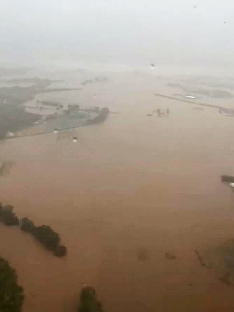
It’s expected flood records from 1977 will be smashed as heavy rainfall lashes areas already hit by a cyclone.
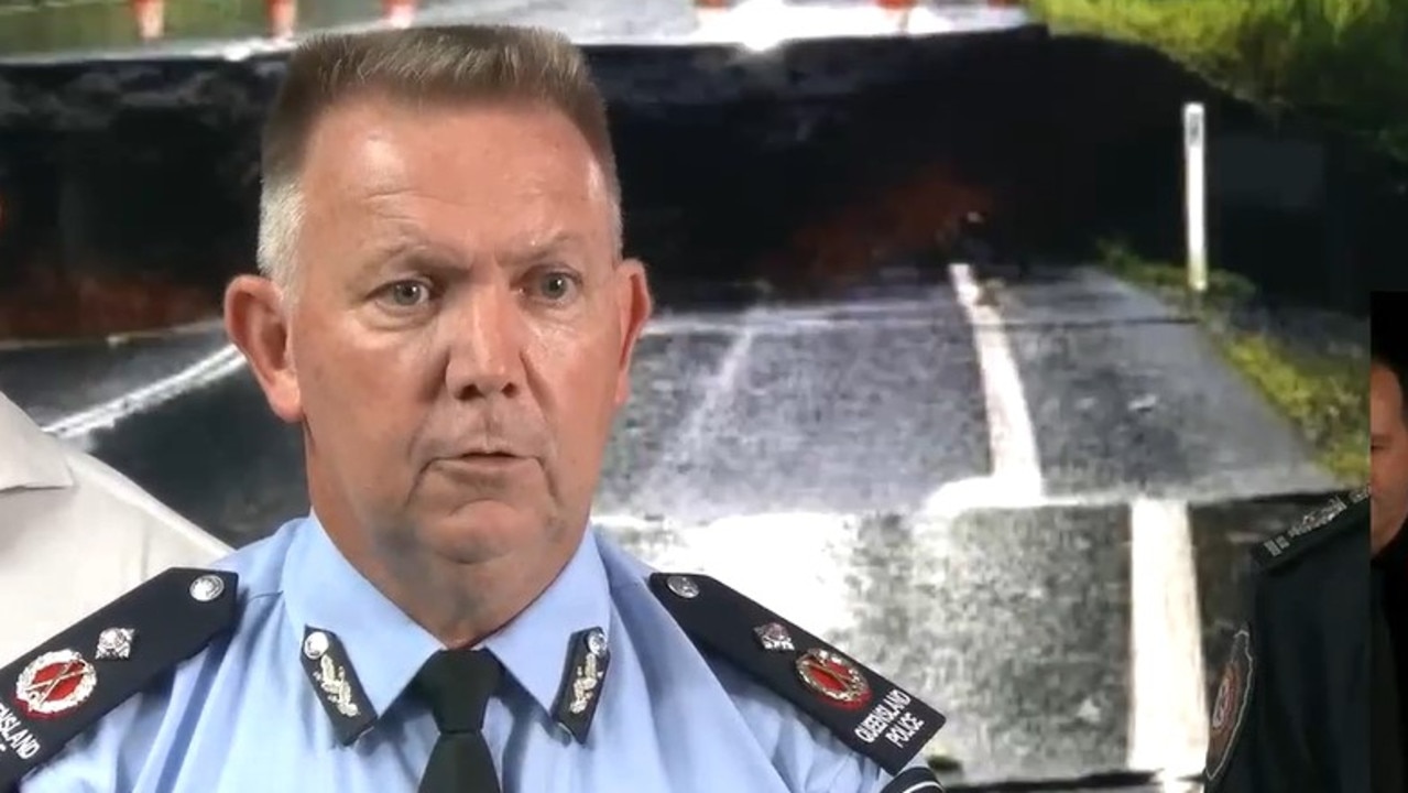
Queensland state disaster co-ordinator said massive rainfall totals lashing the state’s far north, as ex-Tropical Cyclone Jasper moves on, has produced “life-threatening events.”
Shane Chelepy, who is also Queensland Police Deputy Commissioner, along with Premier Steven Miles, fronted the media on Sunday afternoon to provide an update on the flooding situation which has left thousands of homes without power, and inundated Cairns Airport.

“We’ve undertaken a number of rescues in the last 16 hours, 24 hours, where water has risen that rapidly that people haven’t been able to get out,” Deputy Commissioner Chapley said.
“What I would say to everyone listening to our message (is) if you are feeling unsafe, if you think that you’re at risk of being flooded, our evacuation centres are open.
“Move now and we can support you there. It’s much better than having us come in and rescue you.”
He said while it’s hard to know how many properties have been affected by flood waters, low-lying properties in and around Innisfail, Mossman River, and Gordonvale are areas of concern.

“As the water rises and falls we know we’ve had some impacts in around the Cairns area. We just don’t know how many at the moment, because we are still in the response phase trying to keep people safe,” Deputy Commissioner Chapley said.
Cairns airport remains closed, with several aircraft partially submerged in water.
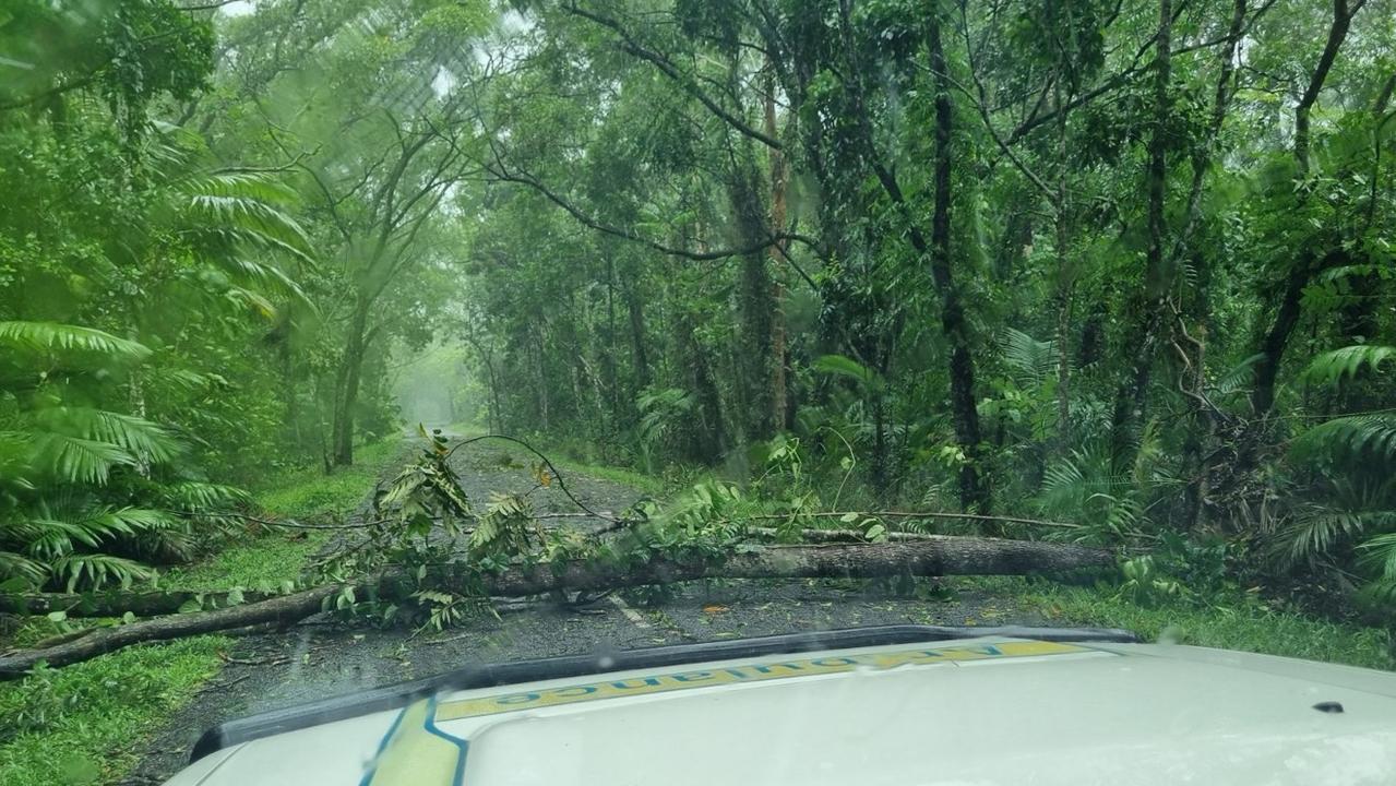
“The issue that the authorities are dealing with on the ground at the moment is the rain is that heavy, we can’t get any airlift support,” Deputy Commissioner Chapley said.
“We can’t get any helicopter support into the communities that are isolated, but can I say the district disaster groups, the local disaster groups have been planning all day all of last night and the moment we get a break in the weather we’re ready to go.”


While Premier Miles said flooding in some areas would smash records set in 1977.
“I’ve been speaking with people on the ground throughout the day, and they say that they’ve never seen rainfall like this,” Mr Miles said.
“These are people who’ve lived in the state’s far north for all of their lives, so this is very serious, and it could get worse.”
Bureau of Meteorology (BOM) senior meteorologist Laura Boekel said dozens of rain gauges had exceeded 300mm in a 24-hour period — highest recorded at Black Mountain, in the Barron River catchment.
“These are really high amounts of rainfall and they’re falling into catchments that are already saturated, so all the rivers are responding very quickly, as well as creeks,” she said.
“To put that into perspective, over the last seven days we’ve seen over 21 of our gauges record over a metre of rainfall.”

More Coverage
At the time of writing, more than 10,000 properties remain without power, while there have been more than 50 requests for water rescues made to Queensland Fire and Rescue Services.
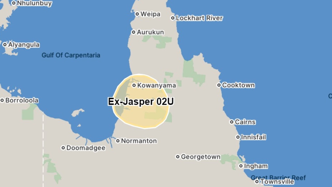
BOM’s latest update forecasts ex-TC Jasper to move back over the Gulf of Carpentaria during the week, with “the risk of redevelopment only a Low chance through to Friday.”
“There remains uncertainty around the strength of the system next weekend. At this stage there still is a Moderate risk of redevelopment from Saturday,” the update reads.


