Cyclone Alfred flood map explained: Brisbane suburbs at risk
As Cyclone Alfred barrels down on southeast Queensland, new flood mapping shows the Brisbane suburbs most at risk. SEE THE MAPS
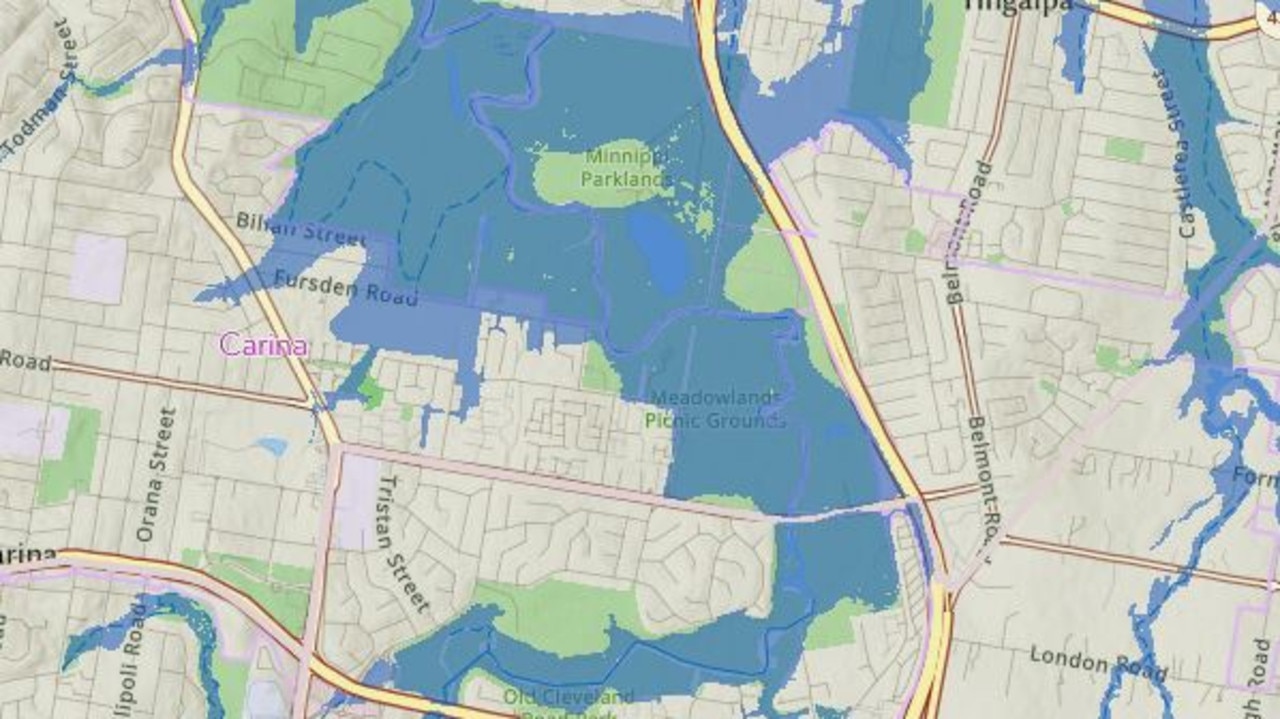
As Cyclone Alfred barrels down on southeast Queensland, new flood mapping shows the Brisbane suburbs most at risk.
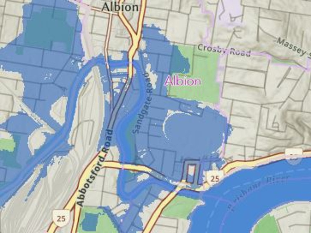
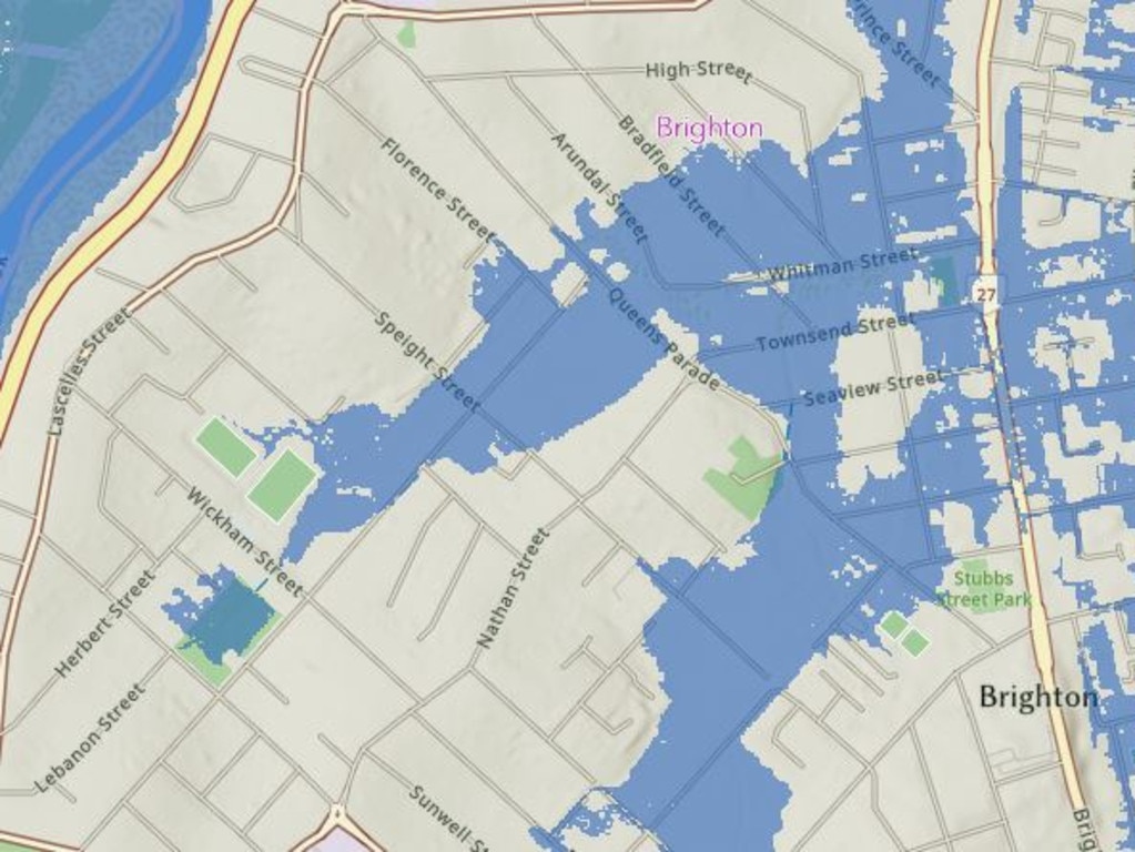
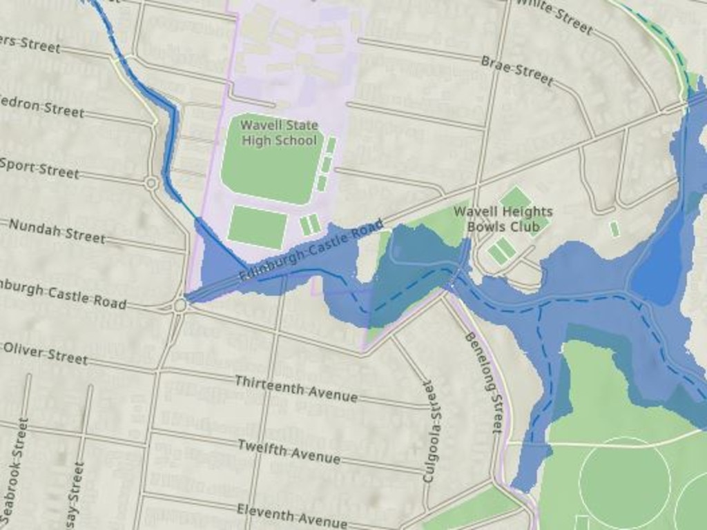
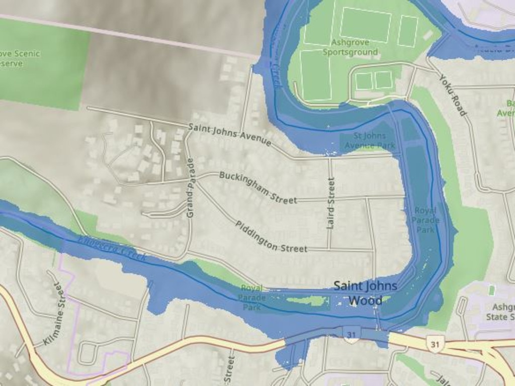
According to Brisbane City Council images, a range of suburbs are under threat of flooding in another painful by-product of the looming strong winds and heavy rain.
These are the Brisbane suburbs most under threat of flood waters >>>
â– What should I pack? What about pets? Cyclone safety guide
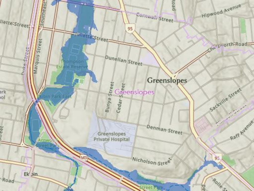
Kalinga
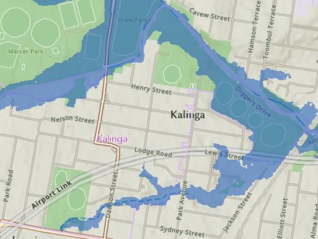
Greenslopes
Coorparoo and Stones Corner
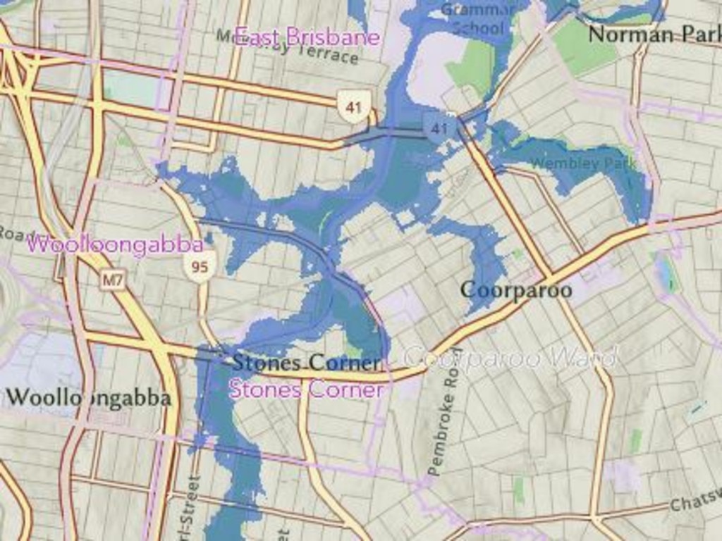
Jubilee

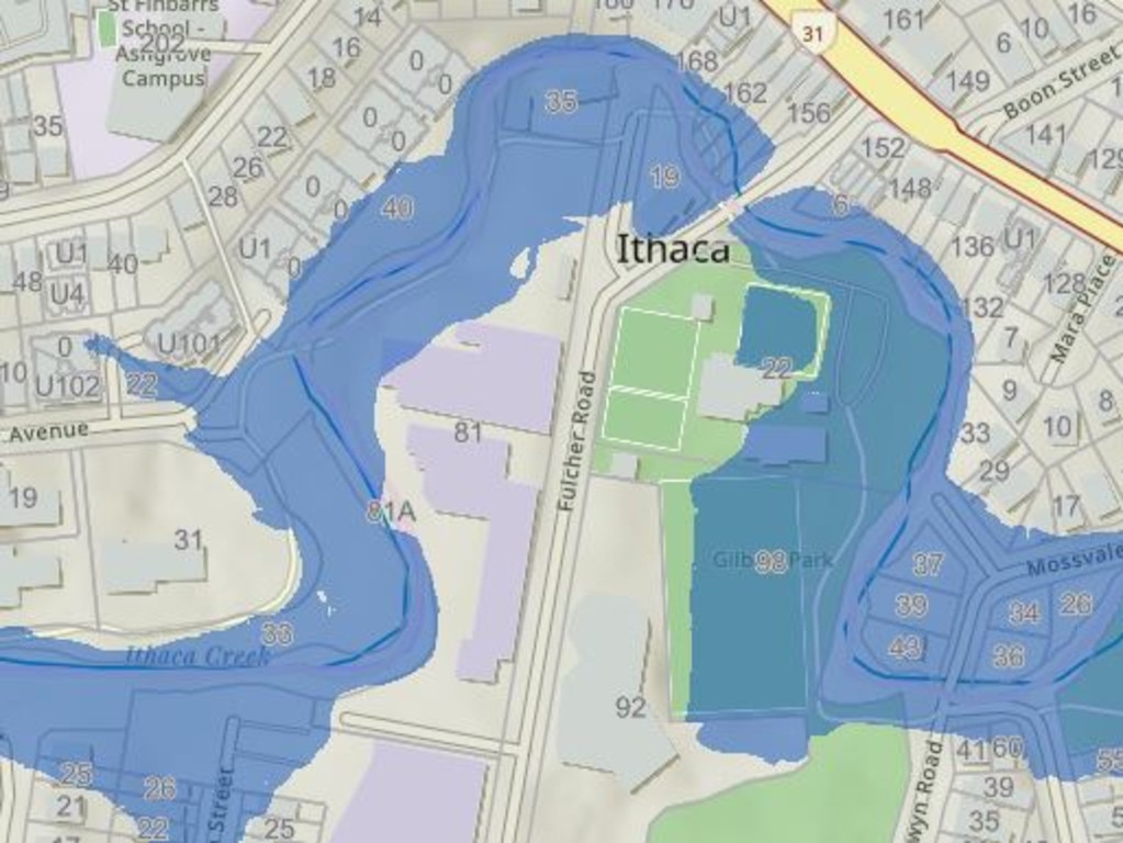
Ithaca
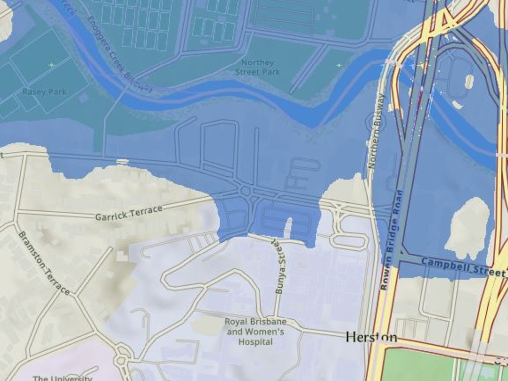
Herston
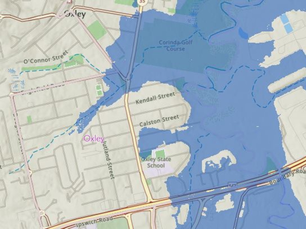
Oxley
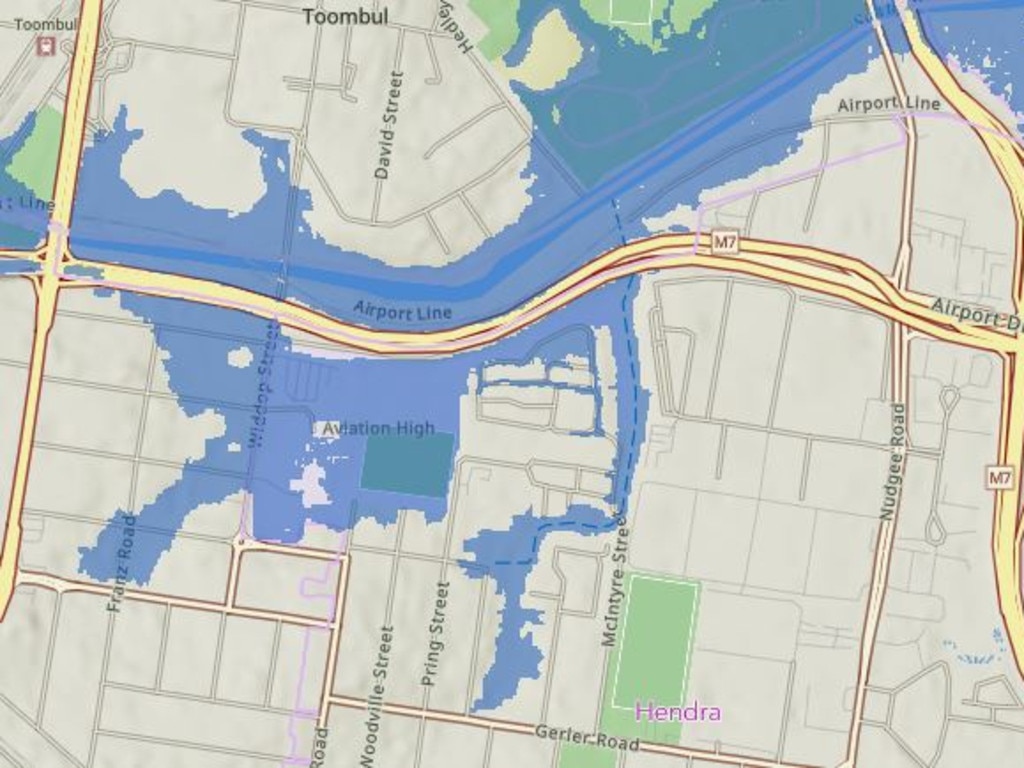
Hendra and Toombul
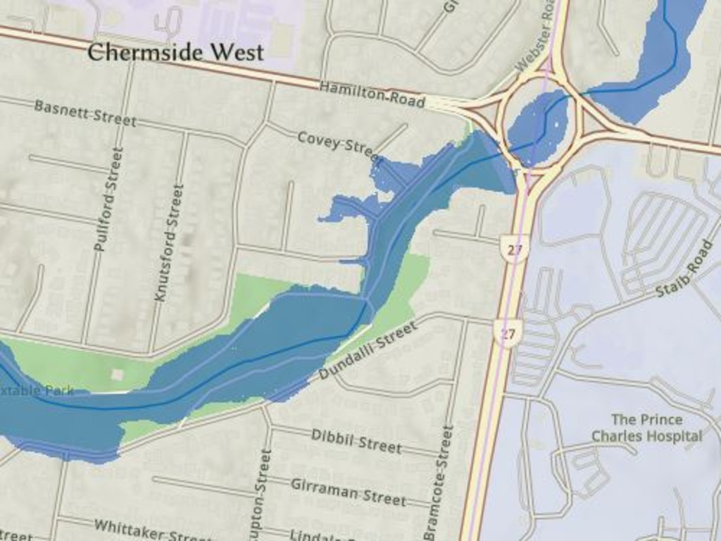
Chermside West
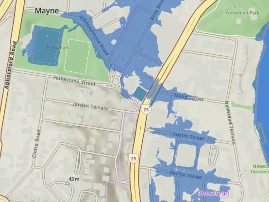
Mayne and Newstead
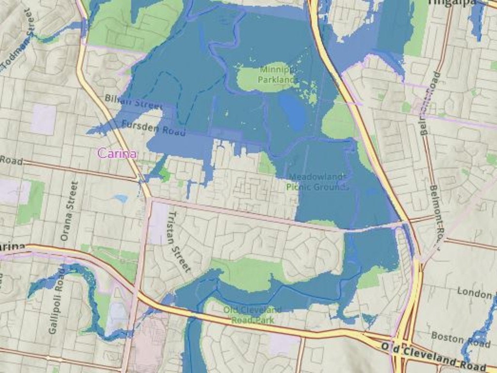
Carina
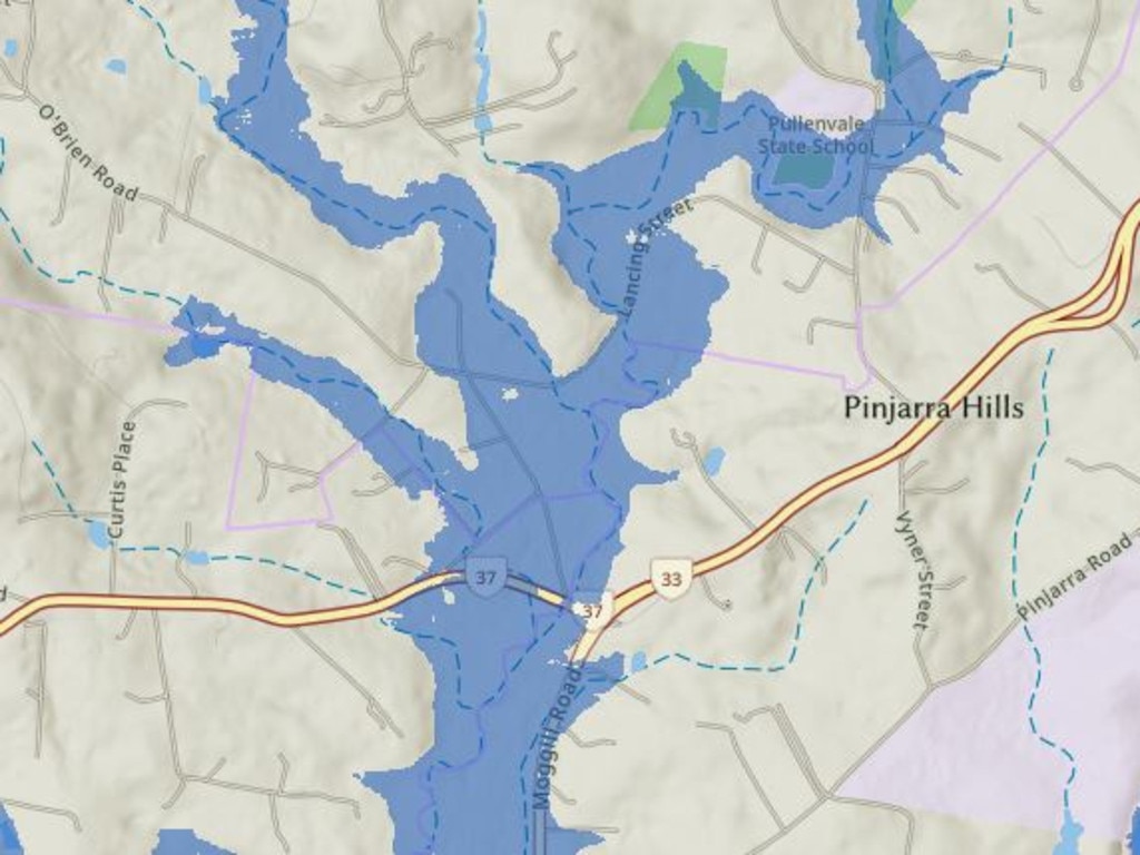
Pinjarra Hills
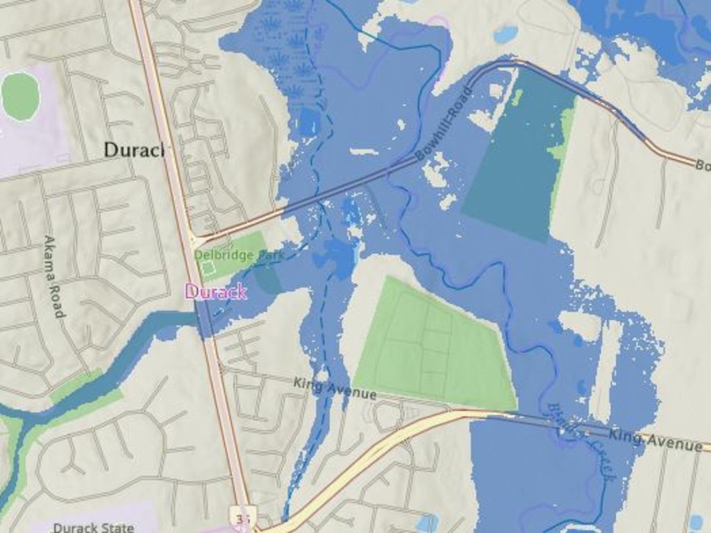
Durack
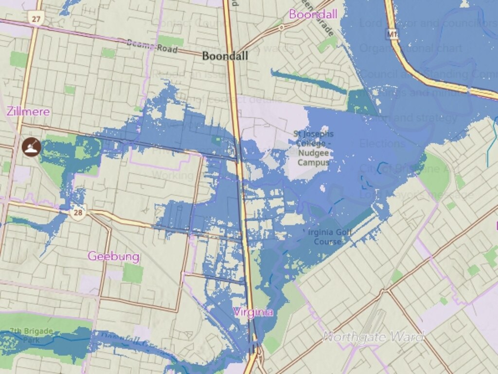
Geebung and Boondall
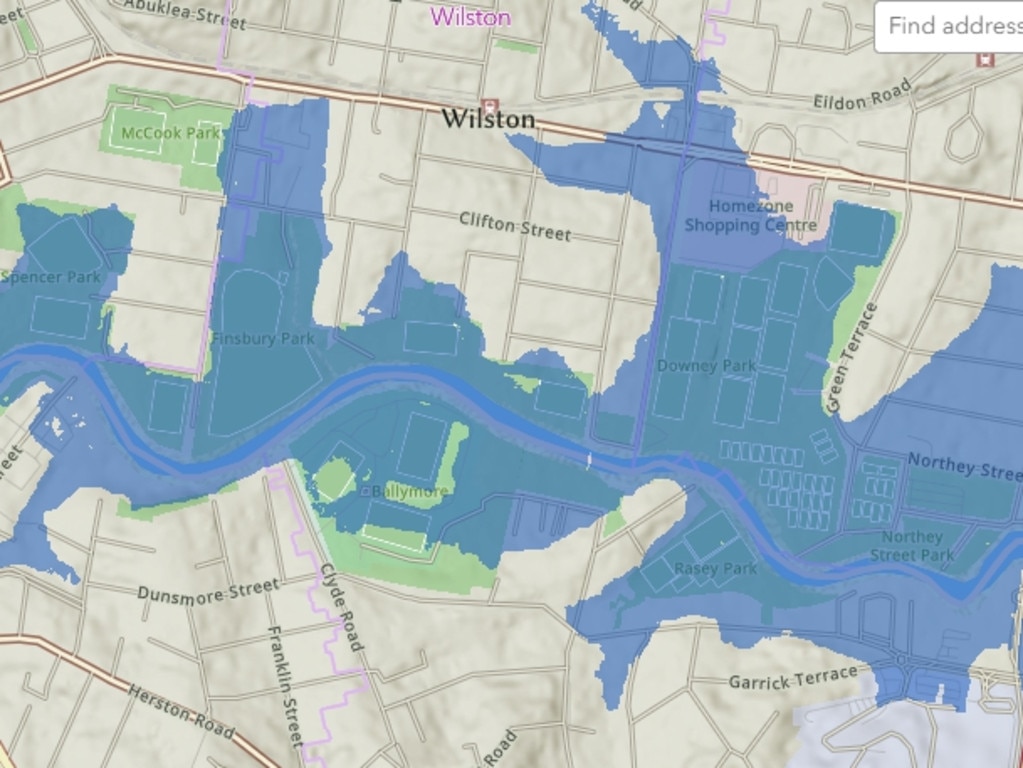
Wilston
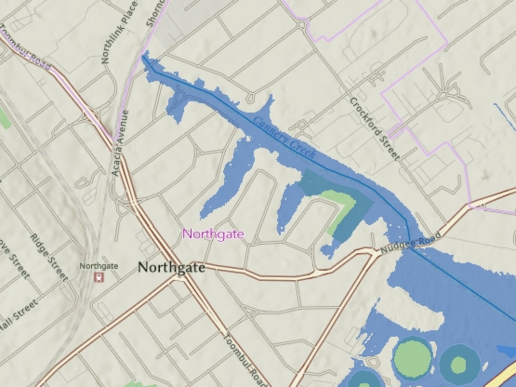
Northgate
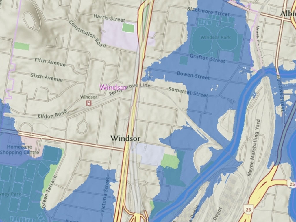
Windsor
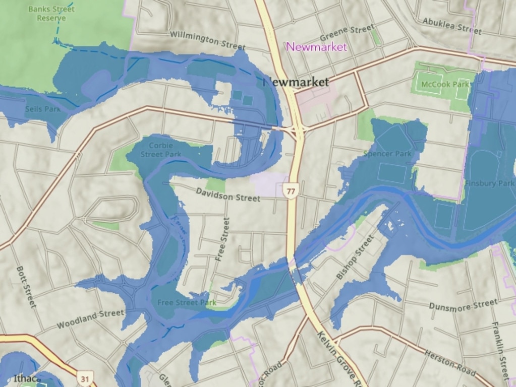
Newmarket
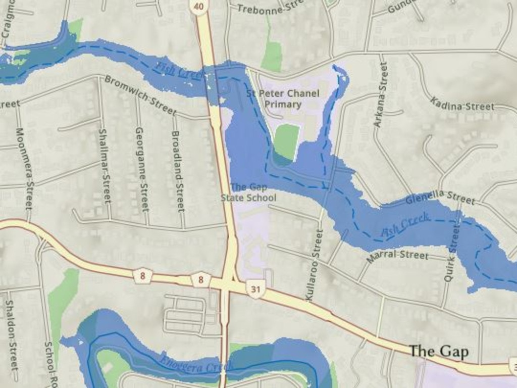
The Gap
Albion
Brighton
Wavell Heights
Ashgrove
Wynnum West

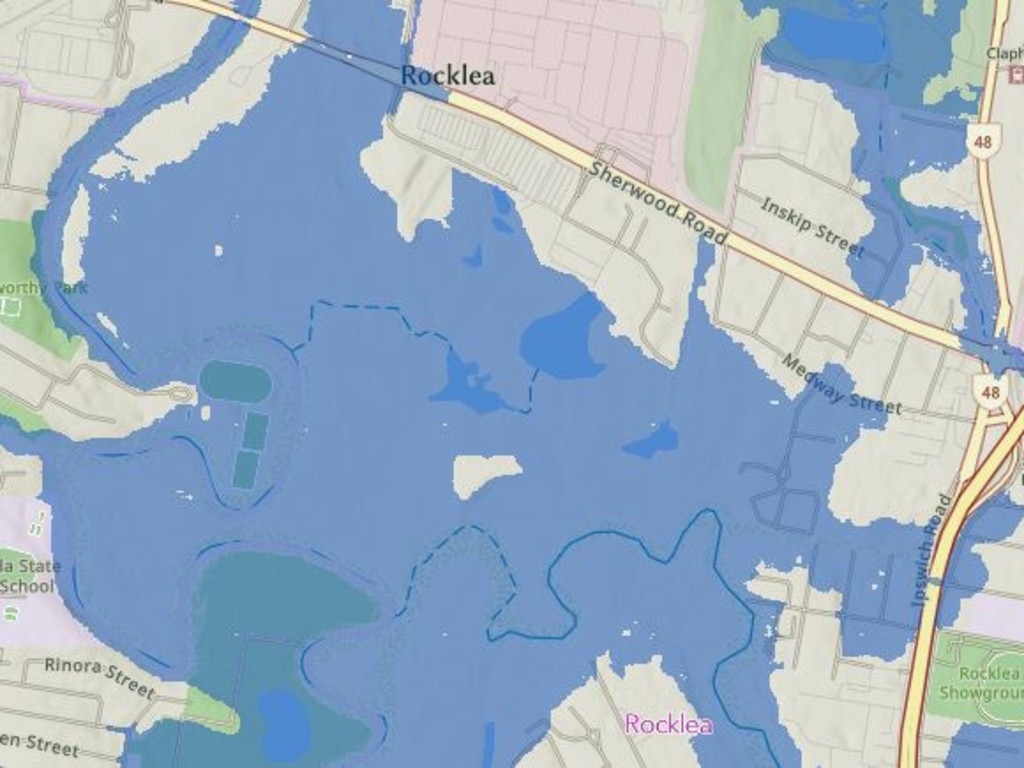
Rocklea
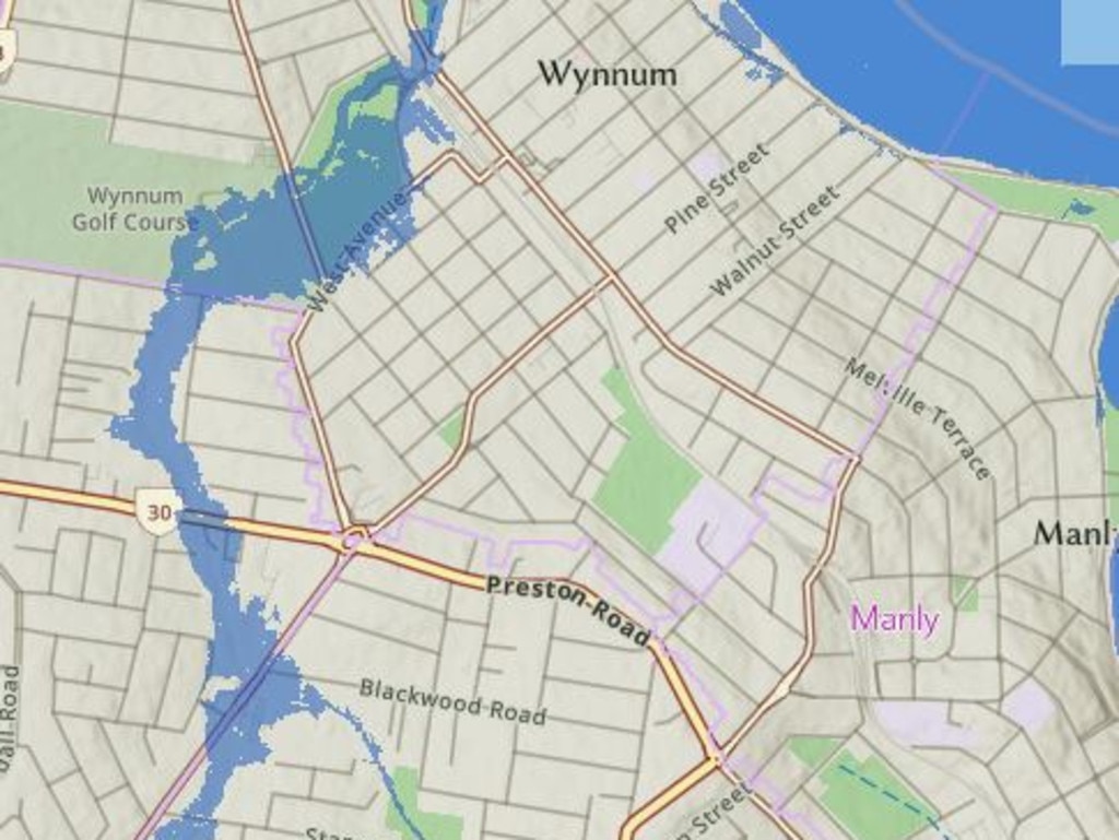
Wynnum
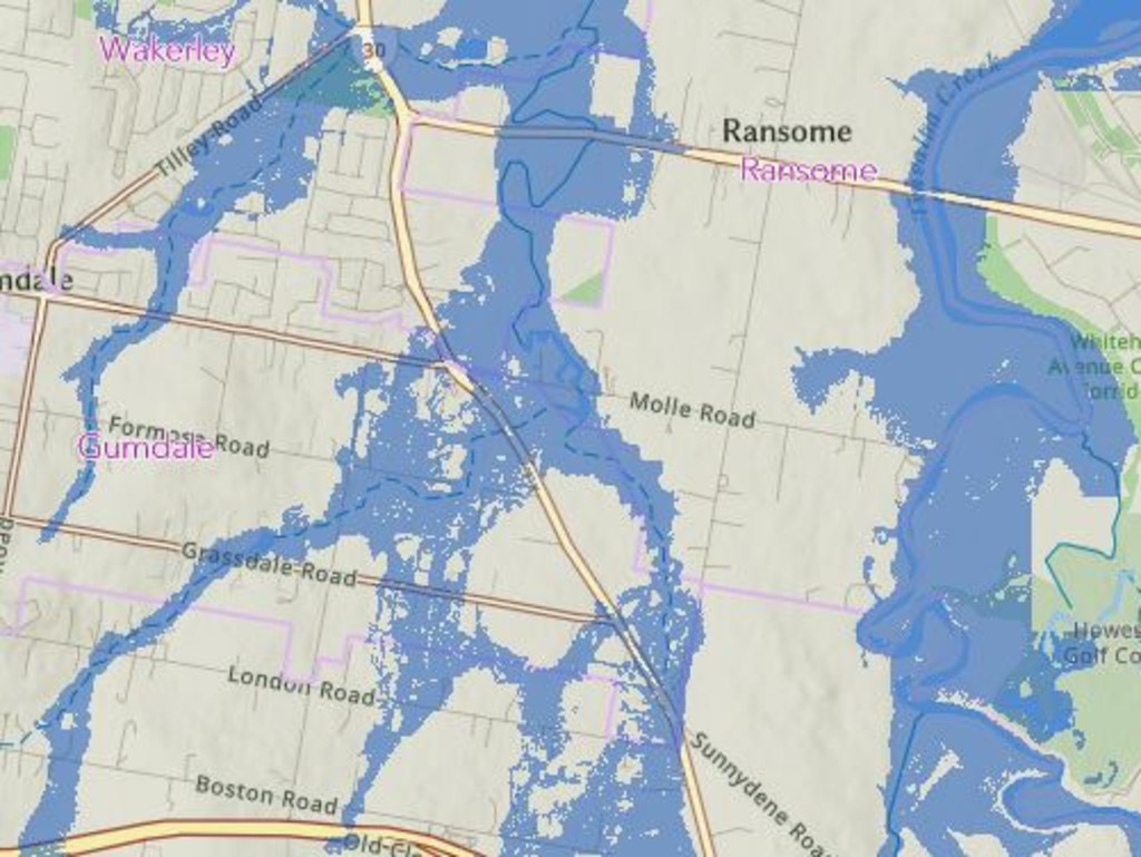
Ransome
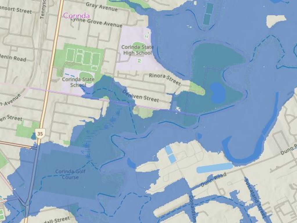
Corinda and Rocklea
Pinkenba
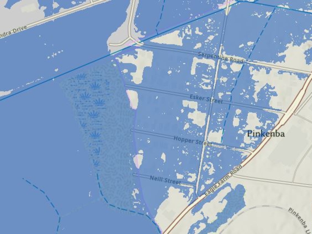
See the Brisbane City Council flood mapping here
Originally published as Cyclone Alfred flood map explained: Brisbane suburbs at risk

