Sydney receives a month’s worth of rain in less than a day while WA is hit by a severe weather warning
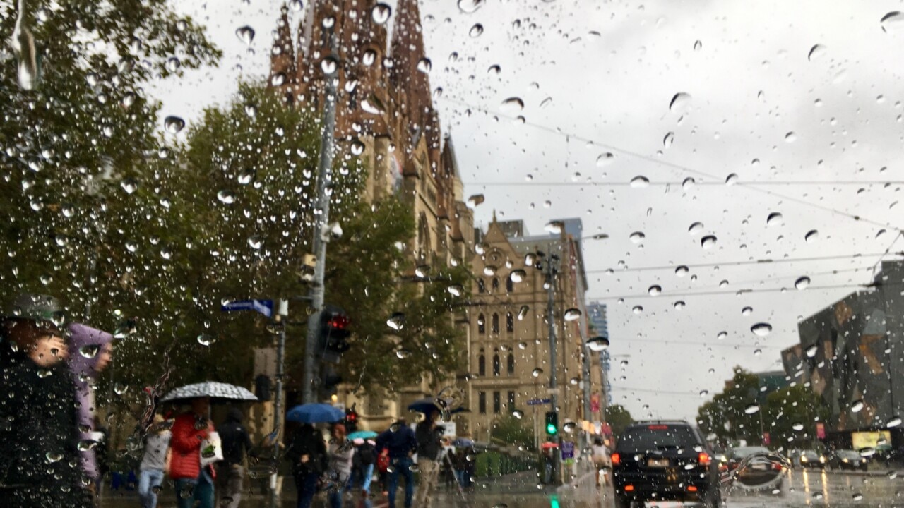
A major city received a month’s worth of rain on the first day of winter, while across the country a severe weather warning remains in place in WA.
Environment
Don't miss out on the headlines from Environment. Followed categories will be added to My News.
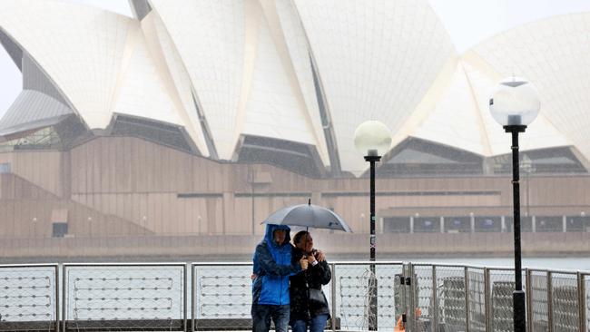
After receiving more than a month’s worth of rain in less than one day, Sydneysiders can finally put their umbrellas away and enjoy some sunshine.
However, flood warnings remain in place around the Hunter area, with minor flooding on the Williams River and moderate flooding on the Wollombi Brook River, BOM senior meteorologist Dean Narramore said on Sunday.
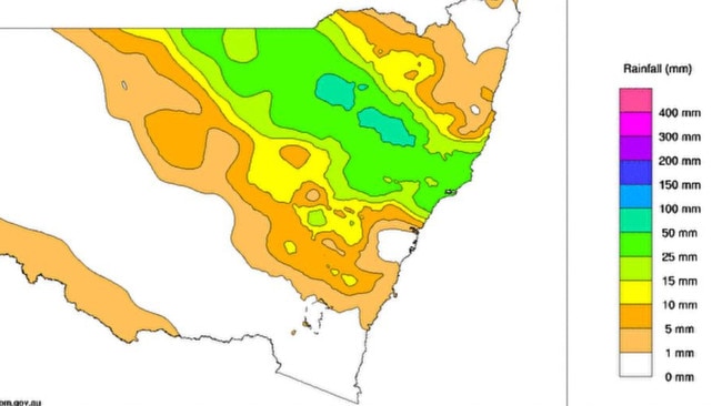
Mr Narramore said hazardous surf and beach conditions would also continue until Monday for southern and central coastal areas of NSW.
This comes after rain lashed the state on Saturday, with persistent moderate to heavy rainfall seen over the Sydney and Hunter areas.
Mr Narramore said the heaviest rainfall on Saturday was around Sydney, with 171mm of rainfall in Rose Bay, 159mm in Little Bay and 143mm in the city itself.
“To put that in perspective, their June monthly average is 132mm,” Mr Narramore said.
“So, a lot of our eastern suburbs in Sydney saw a month’s worth of rain in just 12 to 18 hours.”
Mr Narramore said the heavy rainfall had been caused by a big band of rain that had moved across the country the past few days and developed into a low pressure system offshore on Saturday, which pushed some of the rain back onto coastal areas in Sydney, The Central Coast and Hunter districts.
“That low has now continued to move further away so we have seen that rain and shower activity ease through the Sydney area with showers continuing in the Hunter,” Mr Narramore said.
“But all of that should clear by Sunday night for a sunny Monday for much of NSW,”.
While the rain had mostly cleared in Sydney on Sunday morning, Mr Narramore said there could be a few more “light and isolated” coastal showers.
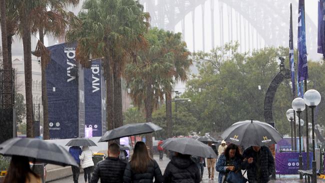
On the other side of the country, residents have also been putting their umbrellas to use after a strong cold front hit western WA late on Saturday.
“That brought with it heavy rainfall, damaging winds and severe thunderstorms,” Mr Narramore said.
“We do have a severe weather warning current from Kalbarri all the way down to Albany
“That does include places like Perth, Bunbury and extending to inland parts of the central wheat belt and the great southern.”
Mr Narramore said there had been widespread rainfall of 30 to 50mm, including 42mm in Perth and wind gusts in excess of 100km/hr at Rottnest Island.
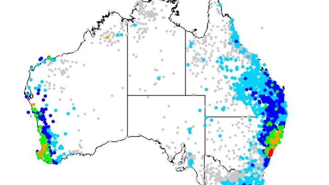
On Sunday, WA’s cold front is likely to continue to move inland, while conditions start to ease along the coastal fringe and south west, Mr Narramore said.
But it will still be a windy day, with showers which may contain hail and local thunder, as well as large seas and swell, particularly around south western parts of WA.
A warning remains in place for strong to gale force winds for some coastal waters, with a warning in place for sheep graziers for the lower west and south western districts.
Forecast for capital cities:
Sydney:
Sunday:possible showers, max 17
Monday: sunny, max 19
Melbourne:
Sunday: partly cloudy, max 15
Monday: cloudy, max 14
Brisbane:
Sunday: sunny, max 23
Monday: sunny, max 21
Perth:
Sunday: shower or two, max 19
Monday: shower or two, max 20
Adelaide:
Sunday: sunny, max 17
Monday: becoming cloudy, max 17
Hobart:
Sunday: partly cloudy, max 13
Monday: rain, max 15
Canberra:
Sunday: partly cloudy, max 13
Monday: partly cloudy, max 13
Darwin:
Sunday: mostly sunny, max 33
Monday: mostly sunny, max 32
Originally published as Sydney receives a month’s worth of rain in less than a day while WA is hit by a severe weather warning


