
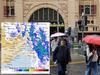
Mapped: Where winter downpours will fall
It’s been a long and bitter winter in many parts of Australia, but we’re being warned there’s more to come. See where the downpours will fall.
A bitterly cold winter that has seen the mercury plunge 12°C below average in some places is set to continue, with more strong cold fronts expected across Australia through August and September.
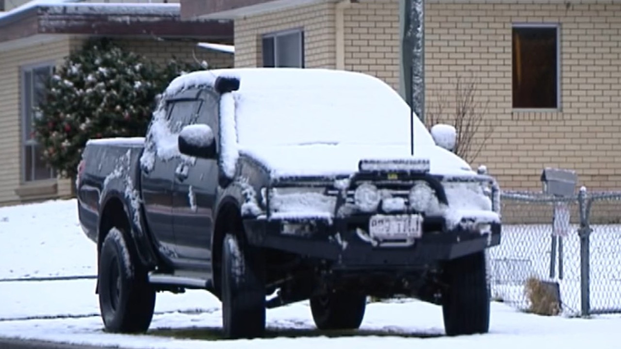
Bureau of Meteorology figures show a cold front in July saw temperatures dip some days 10-12°C below average in northern Australia and central Queensland.
It followed a similar cold snap in June, when temperatures dropped 2 to 6°C below the monthly average for much of Victoria, NSW, the ACT, Tasmania and Queensland.
Now there are fears a freak climatic shift over Antarctica could make the winter of our discontent even longer.
Sky News Meteorologist Rob Sharpe said recent huge temperature spikes in the Antarctic stratosphere – the atmospheric layer that starts 10kms up – would have flow-on effects for Australia.
The temperatures in the Antarctic stratosphere are still well below zero, but they’ve suddenly warmed by more than 50 degrees. As a result the winds around the icy continent have slowed, but they are set to move further away, towards Australia, Mr Sharpe said.

“It’s kind of like a figure skater doing a spin. If they pull in tight, they spin faster, and if they put their arms out wide, they spin slower, so in this case with a weakening polar vortex, the winds that swirl around Antarctica are much more likely to collide into the southern parts of Australia,” he said.
“Looking across August and September as a whole we’ll see more cold fronts than usual and stronger cold fronts than usual,” Mr Sharpe said.
But there’s a glimmer of hope for those on the eastern seaboard.
“Temperatures are likely to climb out of winter fairly quickly on the east coast because when we get more westerly winds impacting the south of the country, it drags the warmer air from the north to the east coast,” he said.
Recent grim conditions are expected to continue into next week, with maximum temperatures hovering in the mid teens in Melbourne, Adelaide and Hobart, and the high teens in Sydney. Perth and Brisbane can expect temperatures in the low 20°Cs while Darwin will stay in the low 30°Cs.
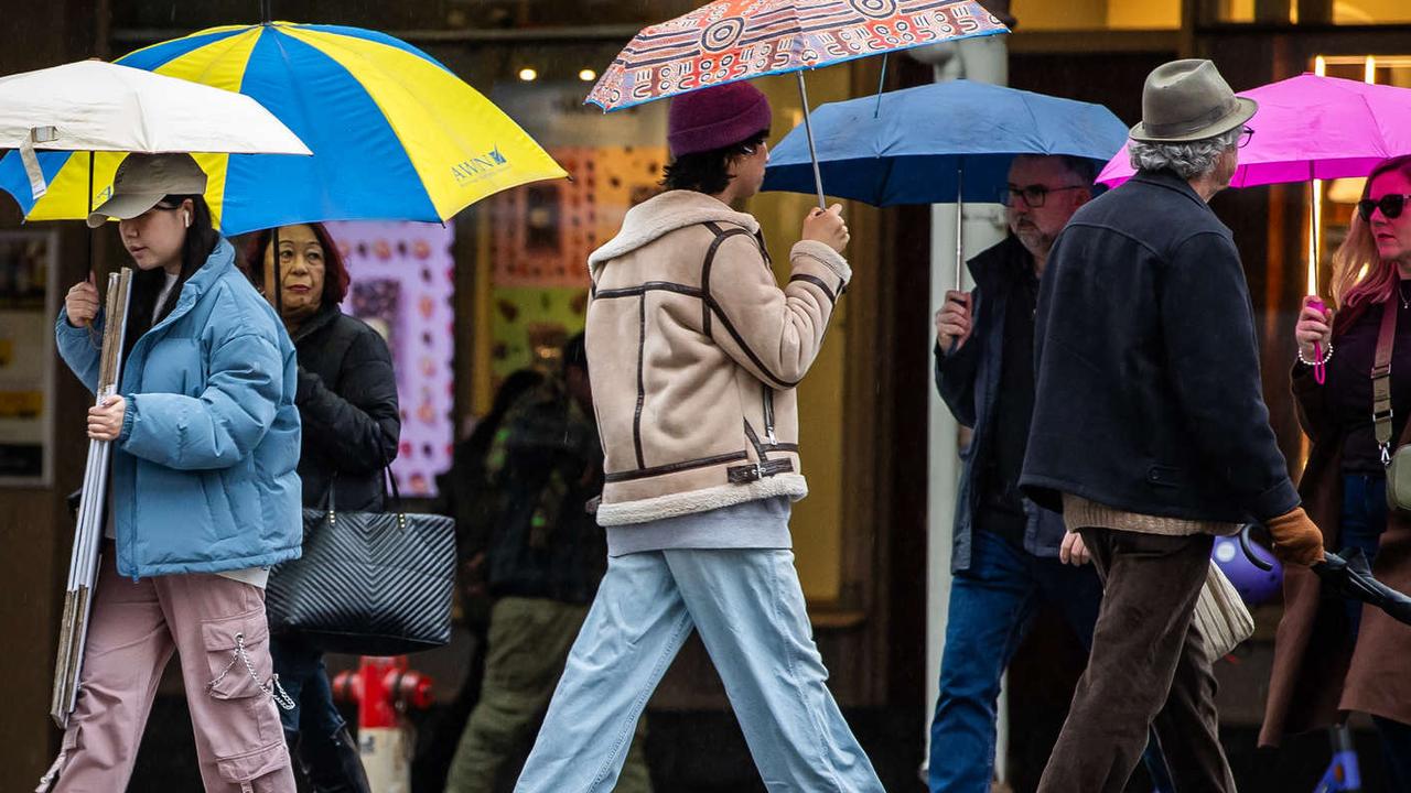
Many parts of Australia have shivered through two months of cold and windy mornings, as well as plenty of rain, without even being able to take grim comfort from the notion that we were experiencing anything record-breaking.
Indeed, according to the Bureau of Meteorology, Australia’s nationally-averaged mean temperature in both June and July has been around 0.70°C above the 1961–1990 average. Western Australia had its eighth-warmest June on record.
Wind chill has certainly been a factor in explaining why it’s felt like such a bitterly cold winter, but Mr Sharpe said it’s also partly because of what we’re used to.
“These individual days and nights that are really chilly, people really feel it because we’re not used to the cold weather like we may have been in the past,” he said.
“We’ve grown accustomed to warmer than average winters.”

A few isolated records have fallen during winter, according to the Bureau. Several sites across Tasmania, Queensland and the Top End recorded their lowest ever daily minimum temperatures for July.
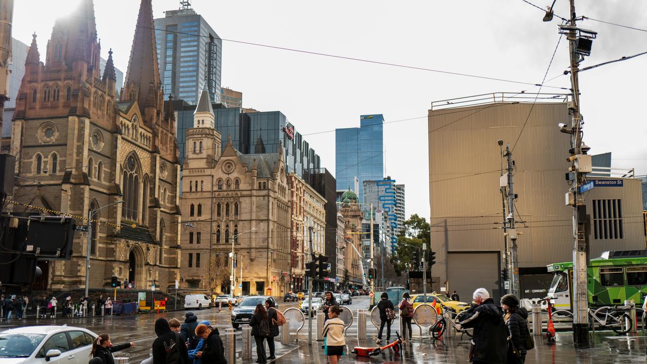
Meanwhile Melbourne had its coldest July in nine years, and its wettest July since 1996.
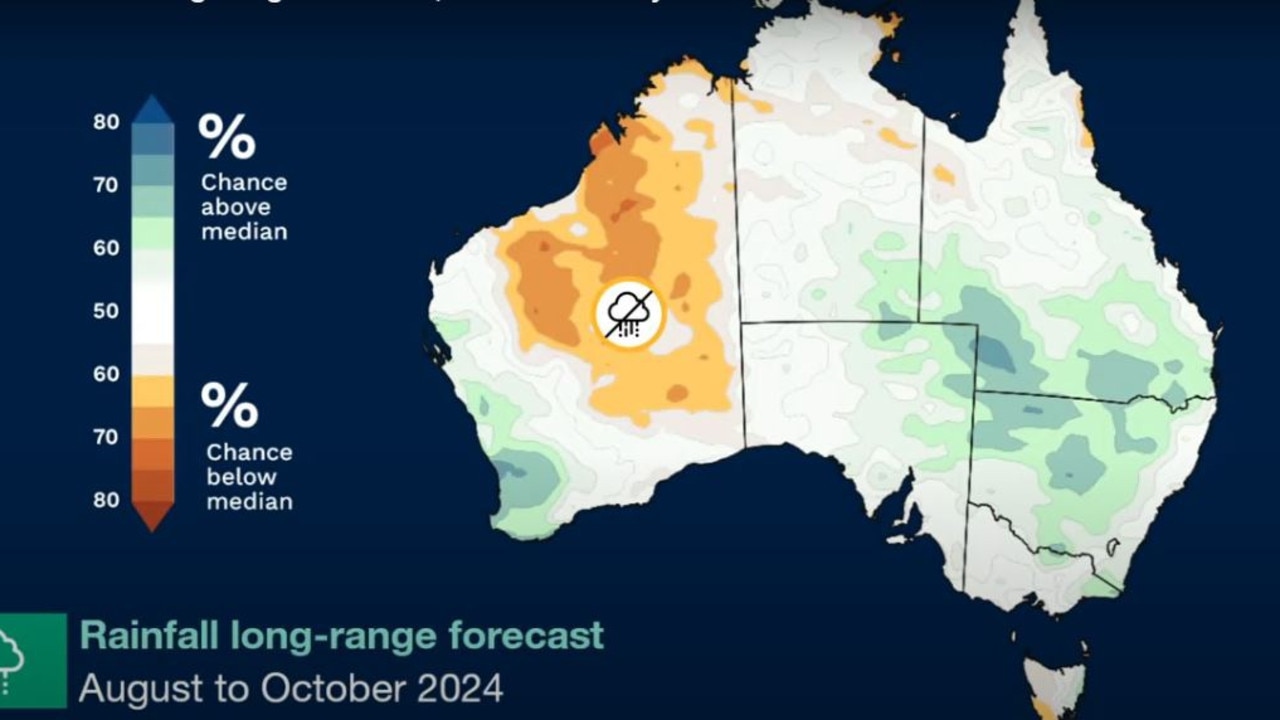
In its latest Climate Outlook, the Bureau forecast wetter than average conditions for parts of the southeast, central and far west for August through to October.
Coastal regions of NSW and Victoria would likely have rainfall within the typical seasonal range, the Bureau said.
Nationally, the June rainfall total was 9.2 per cent above 1961–1990 average, while in July it was 7.4 per cent below, according to the Bureau.


‘Disrespect’: Libs blasted for net zero move
