
Australia’s east coast states to be lashed by ‘giant hail, supercell’ storms this week
A looming ‘supercell’ storm could have a nasty impact as it rips through Australia’s east, bringing thunder, rain and ‘giant’ hail.

Environment
Don't miss out on the headlines from Environment. Followed categories will be added to My News.
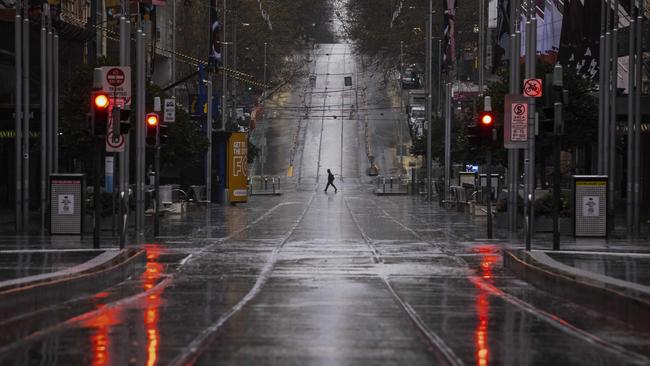
Flash flooding, thunder and “giant” hail will smash eastern Australia as the storm season returns with a vengeance.
The first major storm of the season was gathering strength on Tuesday afternoon as it passed through southeast South Australia and Victoria.
It’s expected to unleash its full might on Wednesday, when it intensifies over NSW and Queensland.
“Severe thunderstorm warnings are expected with flash flooding a particular risk,” the Bureau of Meteorology’s Miriam Bradbury said.
“The heaviest falls are expected about the western slopes of the Great Dividing Range, with the greatest storm risk in these areas as well.”
Drivers were warned flash floods could make the roads perilous and there was also a risk power lines could be brought down by strong winds.
Come Thursday, even Tasmania will be caught by the storm, and the rain clouds moving east could dump as much as 10 centimetres on the island state’s east.
Severe Weather Update: heavy rain and thunderstorms for eastern Australia. Video current 1.30pm AEST 28 September 2021.
— Bureau of Meteorology, Australia (@BOM_au) September 28, 2021
Know your weather. Know your risk.
Latest forecasts and warnings: https://t.co/VjbArDmLG3pic.twitter.com/SIs4c2Pzza
Queensland, NSW and Victoria could all get more than 60 millimetres of rain.
The storm was likely to be unpredictable and people were urged to continuously check the BoM website for updates on where rainfall would be the heaviest.
BoM meteorologist Christopher Arvier said the worst days for Victoria would be Wednesday and Thursday, with widespread areas of rain and thunderstorms expected.
He said Tuesday would be a wet night and it was possible severe thunderstorm and flash flooding warnings would be issued in Victoria on Wednesday.
“There’s certainly a change moving across the state and we’re advising people not to get too used to this nice weather we are looking at right now,” Mr Arvier said.
“The system is approaching from the west and on Tuesday, we will see quite a warm day with cloud increasing for a lot of the state before showers and the potential for thunderstorms through the afternoon and evening.
“The heaviest falls and thunderstorm risk won’t be until Wednesday and Thursday.”
Mr Arvier said there would be widespread falls of 15mm to 30mm on Wednesday for most of Victoria, with heavier totals of 30mm to 50mm across the north and northeast.
He said there would be isolated heavier falls up to 70mm with thunderstorms.
Sky News meteorologist Rob Sharpe said damaging winds, heavy rain and large hail from thunderstorms were also forecast over western parts of NSW and into the southwestern interior of Queensland on Wednesday.
Cloud building from the west is a prelude to a soggy and stormy week of spring #weather for #Victoria! 🌈☔⚡
— Bureau of Meteorology, Victoria (@BOM_Vic) September 27, 2021
Showers, #storms and #rain areas increase into Wednesday, unstable conditions persisting into the weekend #VicWeather
Check the latest:https://t.co/zFegzai4tGpic.twitter.com/fSOV3ovl5p
By Friday, he said the system would develop with “giant hail” and “supercell thunderstorms” on the way for southeast Queensland and far northeast NSW.
“It’s looking particularly nasty on that day,” he said.
“On Friday, the system will continue its migration further south and east, heavy rain continuing in Tasmania, showers and storms through eastern (Australia), particularly southeast Queensland and far northeast NSW where we are not just likely to see large hail but some giant hail and some supercell thunderstorms as well.”
Mr Sharpe said the biggest storms would be mostly over the inland areas but South Australia was set to miss out.
There will be widespread rainfall totals of 25mm to 50mm over a huge area from Tasmania to southern Queensland.
Originally published as Australia’s east coast states to be lashed by ‘giant hail, supercell’ storms this week
Warning as ‘fully fledged’ cyclone looms
Australians have been warned to brace for a “fully fledged tropical cyclone” just a month after ex-Tropical Cyclone Alfred made landfall.
Warning as cyclone threat only ‘hours away’
Australians have been warned to “prepare now” as the threat of a tropical cyclone looms off the coast.