
Winter is coming: wild winds spark ‘severe’ BOM warning
There’s a severe weather warning with 90km/h gusts on their way. See which suburbs will be hit plus where snow will fall tonight.
Weather
Don't miss out on the headlines from Weather. Followed categories will be added to My News.
Winter is well on its way with a series of cold fronts expected to bring hail, storms and even snow this weekend.
A severe weather warning for winds tipped to reach up to 90km/h has been issued for parts of the state as others prepare for snowfall seen just a few times a year.
BOM forecaster Christie Johnson said the first front is already here, rolling through early this morning, and the next one is on its way.
“The top temperatures today were mostly in the low to mid teens across the state,” she said.
“There’s another (cold front) to follow tonight, bringing very cold air over us (and) … most of the state down to around 13, 14 or 15 degrees.”
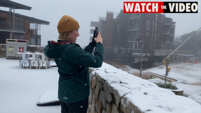
Mt Dandenong and Macedon residents may even wake up to snow tomorrow, with the snow level dropping to 700m above sea level.
“Through the evening or overnight through central parts with very cold air coming in the snow level is dropping from above 1200m to 900m later tonight,” she said.
“Behind the next front we have got the snow level dropping down to about 700m.”
She said the snow isn’t likely to settle on the ground below this, but residents as low down as 500m could see some flurries.
“So we could see some snow flurries up in the Dandenongs, places like Macedon maybe, if there’s any precipitation up there,” she said.
“There’s (probably) not too much settling on the ground around Mt Dandenong but we could see a little bit here and there.
“(This) does happen a few times a year where we get snow down this low.
“Normally it’s more likely up on the ranges but it does happen a couple of times a year where we get it down this low affecting Mt Dandenong.”
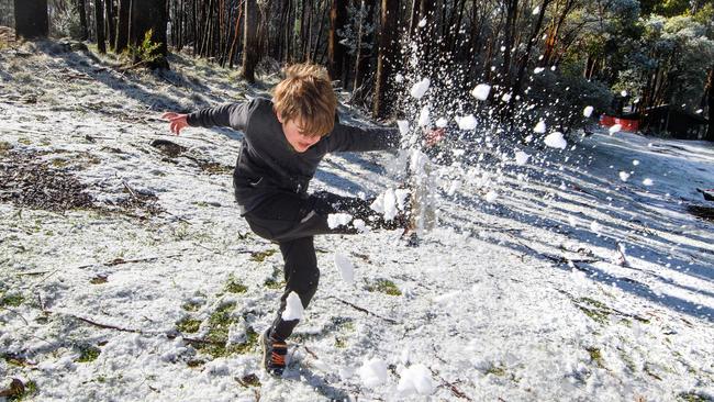
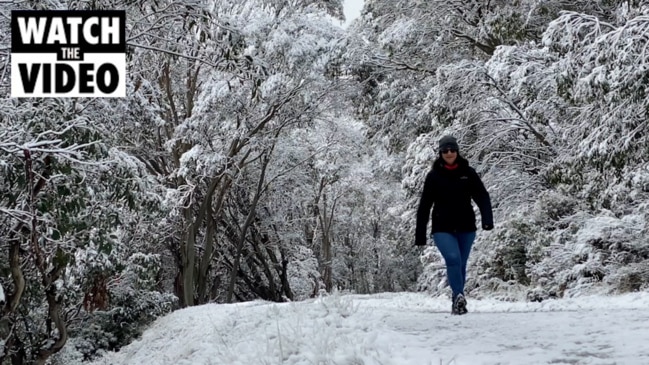
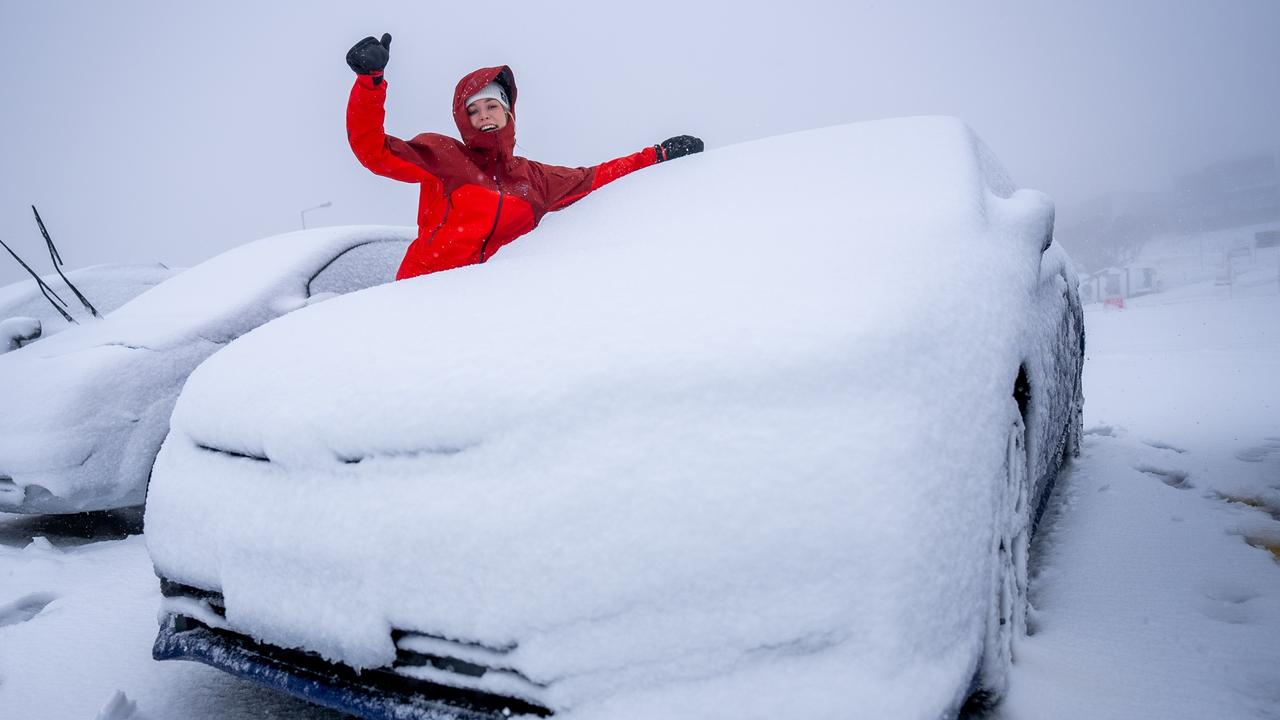
It’s a different story in the Alps, with residents discovering a “winter wonderland” after snowfall early in the morning.
Chris Hocking said the cold front which brought this morning’s snow had seen temperatures drop to as low as minus 4C.
“Snowfalls began early this morning with Falls Creek locals waking to a wintry wonderland,” he said.
“Snowfalls are expected to continue today with heavier snowfalls tonight and into the weekend.
“The snow season gets underway officially in just under month’s time on the Queen’s Birthday weekend in June.”
WEATHER WARNING ISSUED
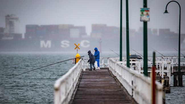
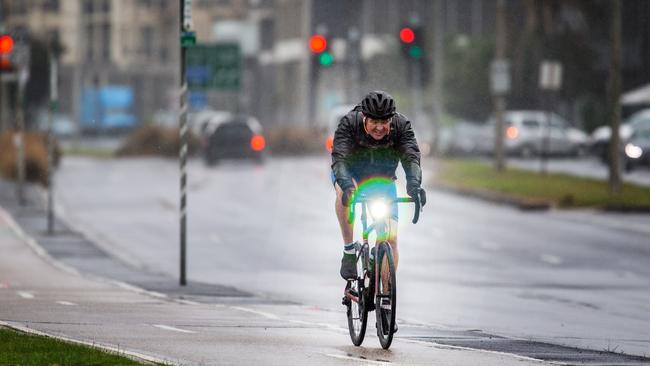
The rest of Victoria will get the wet weather without the fun of snow, and is instead bracing for wild winds and cold temperatures.
Peak gusts of up to 90km/h are forecast, with damaging winds averaging 50 to 60km/h expected to hit southern Victoria.
“There’s a pretty cold outbreak to come,” Christie Johnson said.
“In fact if anything tomorrow will be colder than today with the top temperature in a lot of places just between 12 and 14 degrees.
“(There’s) some pretty strong winds coming through with the front.
“We’re expecting to see some pretty gusty winds overnight, just quite short lived as the front goes through.”
The city is expected to miss the worst of the storms, which will roll through early tomorrow morning.
“Most of the storm activity will stay south of Melbourne city,” she said.
“Mornington Peninsula, Bellarine maybe parts of the south eastern suburbs are expected to potentially see some storm activity overnight.
“That change as it comes through will be quite gusty (and) the Mornington Peninsula is at risk.
“We’re still expecting small hail as well over southern areas.”
Showers are also on their way but are not expected to cause any flooding issues in the areas hit earlier this week.
Ms Johnson said expected rainfall wasn’t “huge” with up to 25mm forecast for the most prone areas.
WILD WEATHER WON’T LAST
But the Bureau doesn’t expect the bad weather to last forever, with some clearer days in sight.
“The high pressure system is moving in on Monday, with some showers, possibly some thunder storms and some snow up on the ranges but that’s all contracting into Gippsland on Monday,” she said.
“By Tuesday it’s back to pretty much settled conditions across the state.
“There’s maybe a weak front sliding south of us on Thursday pushing some showers into south west but otherwise pretty much a fine week
“With light winds and clear skies we’ll have some pretty cold starts through Tuesday and Wednesday, so cold mornings but beautiful sunny days through the middle of next week.”

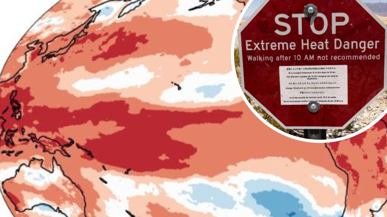
Mapped: Why 2024 could be our hottest year
Australia is suffering through a wet and chilly winter, but heat records are being broken all around the world - prompting new ideas about how we should be dealing with it.
Aussies freeze through coldest morning of the year
An extra blanket or two could be in order as Australians woke up to icy weather across the country. See how long the cold blast will last.