
Flash flooding warning as rain lashes Victoria
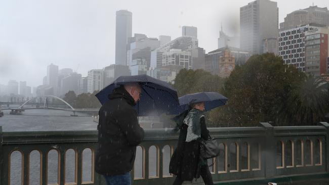
Heavy rainfall has prompted a flood warning in large parts of Victoria as Melbourne struggled through a cold morning.

Weather
Don't miss out on the headlines from Weather. Followed categories will be added to My News.
The nation’s east coast is bracing for an “unusual” mid-May cold front that is set to bring heavy rainfall, thunderstorms, large hail and a risk of flooding.
Severe thunderstorms with damaging winds, large hail and heavy rainfall may lead to flash flooding across northeast NSW and southeast Queensland on Tuesday.
Eastern Victoria and the NSW south coast is also expected to be hit on Tuesday with a severe weather warning issued for heavy rainfall that may lead to flash flooding.
Many places across Australia’s southeast could also shiver through their coldest day of the year so far with snow forecast in many areas.
Sky News meteorologist Alison Osborne said temperatures behind the cold front would be chilly on Tuesday with afternoon maximums below 15C across Victoria, Tasmania below 10C and below 15C across most of southeastern NSW.
“It will be noticeably cooler in places like Sydney and Newcastle as well,” she said.
Weather bureau meteorologist Sarah Scully said thunderstorms would peak during the afternoon on Tuesday in southeast Queensland and northern NSW.
“Mid-May is an unusual time for severe thunderstorms to develop but high humidity combined with an upper level low are forecast to bring increased thunderstorm activity (beginning in) the early hours of Tuesday morning,” she said.

“Storms are forecast to continue into Wednesday and Thursday, however, they will be less likely to be severe.”
In the southeast, widespread falls of 40-70mm, with isolated heavier totals of more than 100mm have been forecast for far east Gippsland and the ranges.
The weather bureau is also concerned about flooding, with a watch in place for most Gippsland catchments.
SEVERE Weather Warning for HEAVY RAINFALL.
— VicEmergency (@vicemergency) May 10, 2021
For people in East Gippsland and parts of Central, South West and West and South Gippsland Forecast Districts.
Issued at 4:55 am Tuesday, 11 May 2021.
Stay informed: https://t.co/T05ONtwAm3pic.twitter.com/0WaxLkPm4E
The severe weather warning is in place for Gippsland, the Otway Ranges and parts of south coast and alpine areas of NSW.
The heavy rainfall is forecast to slowly contract eastwards and ease late Tuesday into the hours of early Wednesday.
Weather bureau senior meteorologist Chris Arvier said the catchments were already saturated and “primed for rainfall”.
“There is a flooding concern with this rainfall and minor flooding is possible throughout the day on Tuesday,” he said.
“As the low stalls in the Tasman Sea it’s going to basically sit offshore and bring in a lot of rainfall.
“By Wednesday we’re expecting a mostly sunny day, relatively cool though in the morning, we’re likely to have a little bit of a frosty morning on Wednesday.”
Originally published as Flash flooding warning as rain lashes Victoria
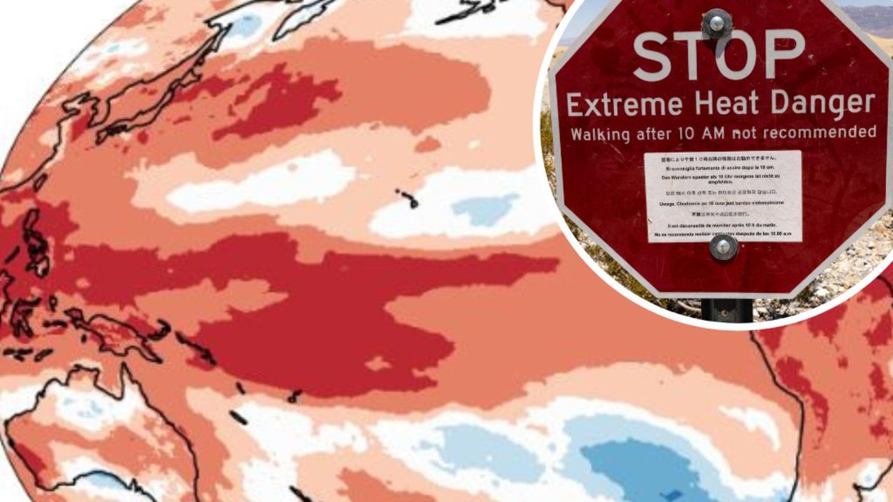
Mapped: Why 2024 could be our hottest year
Australia is suffering through a wet and chilly winter, but heat records are being broken all around the world - prompting new ideas about how we should be dealing with it.

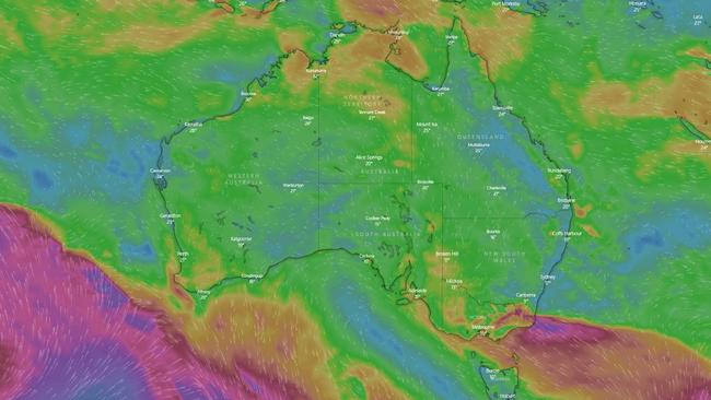
Aussies freeze through coldest morning of the year
An extra blanket or two could be in order as Australians woke up to icy weather across the country. See how long the cold blast will last.