
Reprieve for Victoria after heavy rains, floods — but more to come
After being smashed with rain, Melbourne is set for a reprieve from wild weather — but it won’t last long.
Weather
Don't miss out on the headlines from Weather. Followed categories will be added to My News.
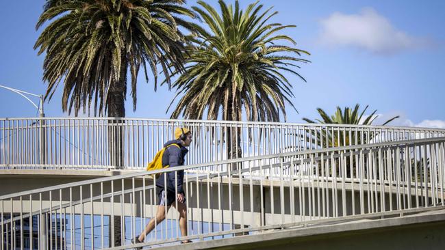
Melbourne is expected to see some reprieve from the heavy rains with the sun set to shine ahead of a wet weekend.
While the city is expected to reach a top of 19C on Thursday, followed by 24C on Friday, rainfall and humid temperatures will resume on Saturday when it reaches 27C, with a cooler Sunday to see a maximum of 18C.
Emergency services have issued a new flood warning for suburbs surrounding the Yarra River between Warrandyte and Abbotsford, including Alphington, Badger Creek, Balwyn, Balwyn North, Blackburn North, Box Hill North and Bulleen with water levels slated to continue rising over the weekend.
The minor warning could flood surrounding areas such as caravan parks and bike paths.
“The level of the Yarra River at Abbotsford is currently at 2.05 metres, and rising,” the warning said.
“It is expected to peak around the Minor Flood Level, 2.70m, overnight,” it said.
Flash flood warnings remain in place for the suburb of Saint Arnaud, about 100km west of Bendigo, which experienced significant flooding on Wednesday.
The SES has received more than 1000 calls for help since 6am Wednesday.

Frankston, Sunbury, Craigieburn and Mt Eliza were among the worst hit areas lashed by the storm.
Fifteen homes were damaged in St Arnaud, 242km northwest of Melbourne, where a flash flooding warning remained in place overnight.
A SES spokeswoman said residents should remain on alert for damaged trees.
Thousands remain without power and water almost a week after “the worst storm in 25 years” smashed the Mornington Peninsula.
Red Hill Relief and Recovery chief Mike Willmott said local crews were working through up to 2000 welfare checks, delivering water and ice and charging phones for residents.
“We’ve already seen people who have been trapped on their properties for days by fallen trees over driveways and roads,” Mr Willmott said.
“They have no power and can’t access their tank water because the pumps aren’t running.
“In some cases they can’t call for help either because they have no charge on their phone or can’t get a signal.”
It comes after severe thunderstorm warnings were issued for parts of Victoria and NSW on Wednesday, bringing heavy rain and flash flooding to some areas.
Bureau duty forecaster Jonathan How said multiple storm warnings were expected to be issued across the country this week.
“Pretty much every state and territory except Tasmania is likely to be under a storm warning at some point this week,” he said.
“It’s going to be important, as well, because it’s going to fall over parts of Australia that have been really dry and, of course, the sub-agricultural areas that are just starting their harvest, and some people don’t want or need the rain either.”
Weather warnings can be monitored online on the Bureau of Meteorology or VicEmergency website.
It comes after a hot, humid and windy night throughout Victoria on Tuesday.
Mt William, in the Grampians, recorded the highest gust at 1.27am when the winds peaked at 89 km/h, while speeds of up to 83 km/h were recorded at Ben Nevis just after 2am.
The wet forecast comes just days after wild winds lashed Victoria, downing trees and power lines as SES volunteers faced a huge spike in call-outs.
More Coverage

Join the conversation
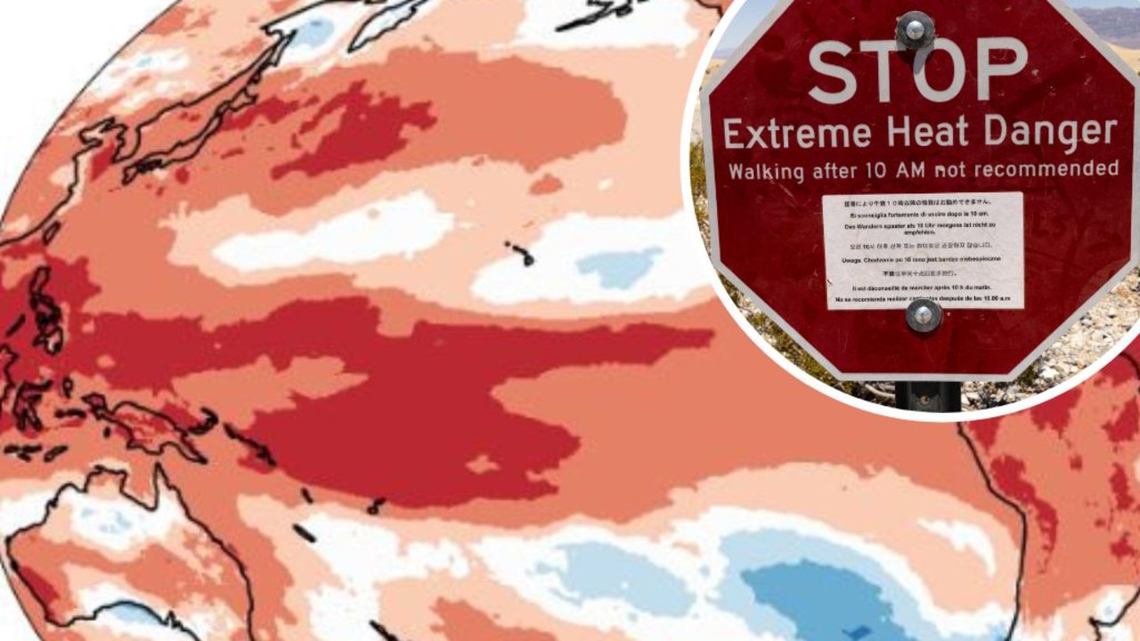
Mapped: Why 2024 could be our hottest year
Australia is suffering through a wet and chilly winter, but heat records are being broken all around the world - prompting new ideas about how we should be dealing with it.
Read more
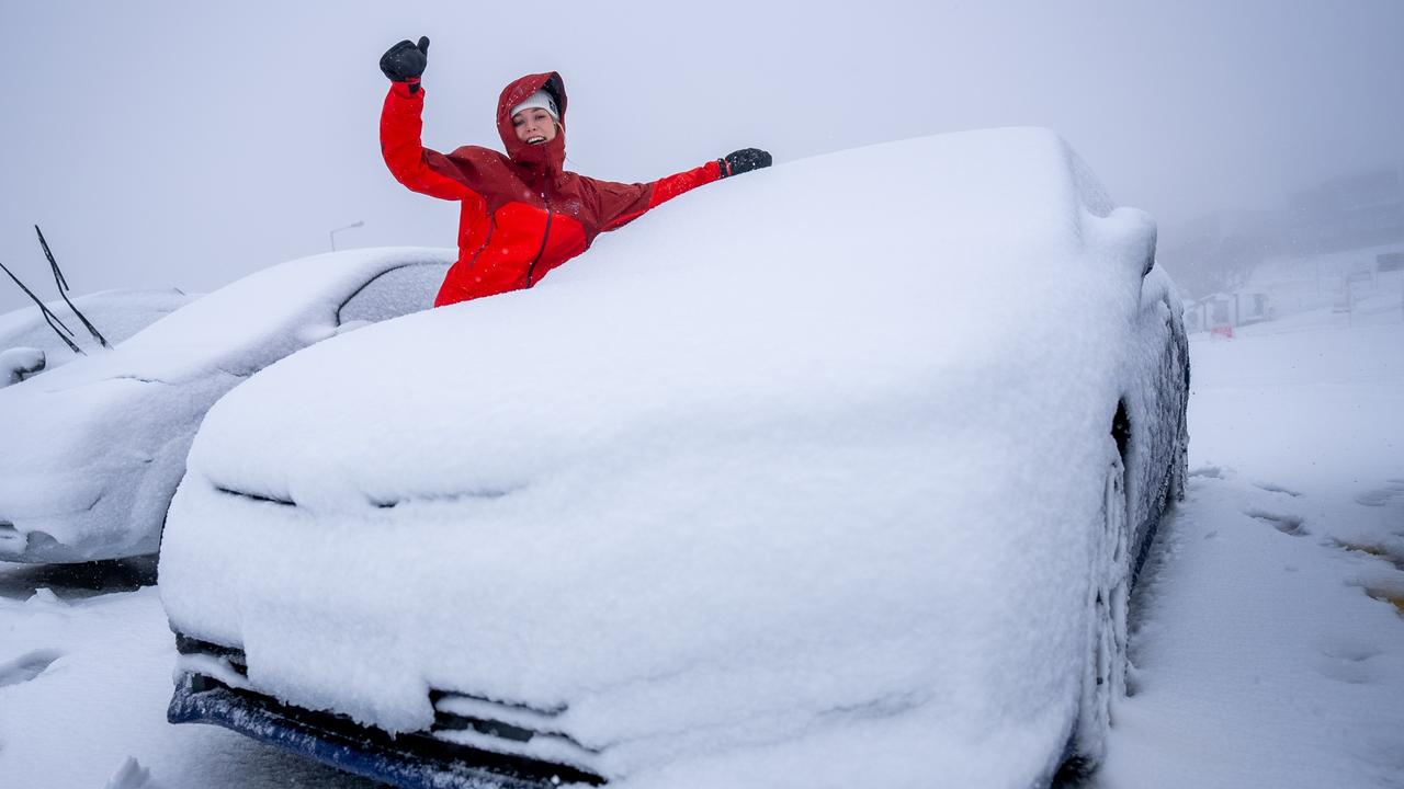
Aussies freeze through coldest morning of the year
An extra blanket or two could be in order as Australians woke up to icy weather across the country. See how long the cold blast will last.
Read more