
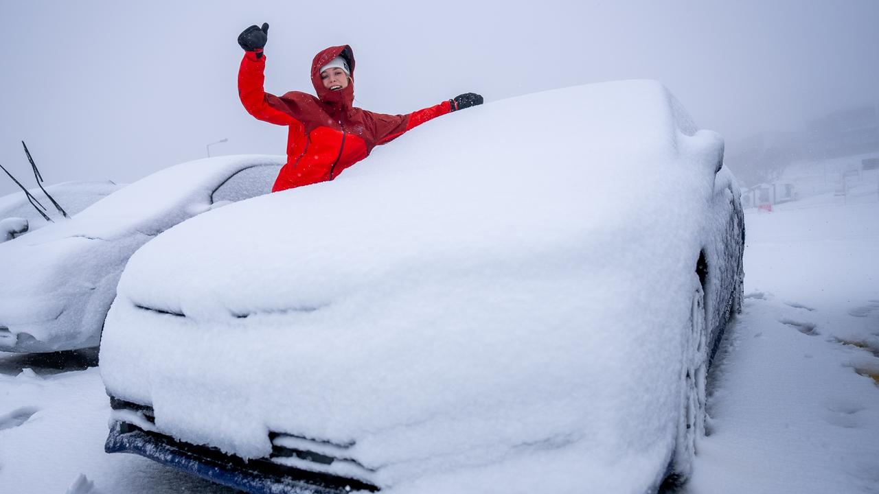
Snowfall sweeps Mt Hotham as cold front continues across the state
A cold snap has brought a dusting of snow to Mt Hotham for the first time this year, more than a month ahead of the official start of the ski season.
Weather
Don't miss out on the headlines from Weather. Followed categories will be added to My News.
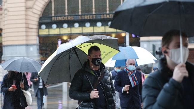
A cold front which swept across the state and resulted in shivering morning temperatures, saw the first significant snowfall of the year in Victoria.
Mt Hotham residents woke to a dusting of snow, more than a month ahead of the official start of the ski season.
Temperatures at the resort dipped well below freezing with the Bureau of Meteorology forecasting overnight minimums as low -5C until the cold snap breaks on Monday.
A Mt Hotham spokeswoman said the resort plans to start making artificial snow in the coming days in preparation for the ski season.
Meanwhile, the cold weather is forecast to continue across the state with overnight minimum temperatures of 6C in Melbourne on Friday.
The Bureau of Meteorology senior meteorologist Miriam Bradbury said the cold front would hit Victoria between Wednesday and Friday.
“This cold front should reach the southwest coast by Tuesday afternoon, bringing some shower activity and thicker clouds,” she said.
“We are going to see that front sweep into parts of Victoria bringing showers statewide, although most of the activity will be focused on south of the ranges.
“Cooler temperatures are expected, as well, with western and central parts generally between 14C and 16C on Wednesday.”
The coldest air associated with this front will start to move into the state on Wednesday and have the largest impact on Thursday and Friday.
Ms Bradbury said the snow level would drop to about 1200m in the west and 1400-1500m in the east on Wednesday.
“But on Thursday, as the coldest air moves over, the snow level will drop down to 900m so snow flurries are possible with showers,” she said.
Small hail with showers are expected south of the ranges and maximum temperatures won’t reach more than 14C across large parts of Victoria.
Temperatures on Friday, Saturday and Sunday will remain cool with rainfall totals not expected to be huge.
The highest falls of 20 to 40mm will be about the southwest coast and eastern ranges.
“While this is not a rain event, it is expected to be a significant cold outbreak with very low maximum temperatures and snow levels through Thursday and Friday,” Ms Bradbury said.

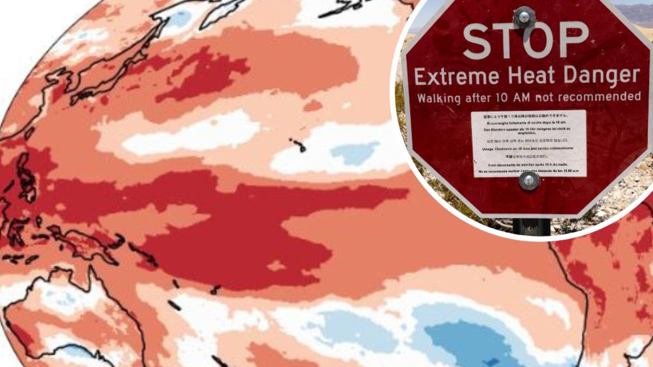
Mapped: Why 2024 could be our hottest year
Australia is suffering through a wet and chilly winter, but heat records are being broken all around the world - prompting new ideas about how we should be dealing with it.
Aussies freeze through coldest morning of the year
An extra blanket or two could be in order as Australians woke up to icy weather across the country. See how long the cold blast will last.