
Snow blast predicted for kunanyi/Mt Wellington as winter settles in
kunanyi/Mt Wellington is expected to be a winter wonderland again on Sunday with forcasters saying snow might stick around into early in the week. FORECAST >>

Tasmania
Don't miss out on the headlines from Tasmania. Followed categories will be added to My News.
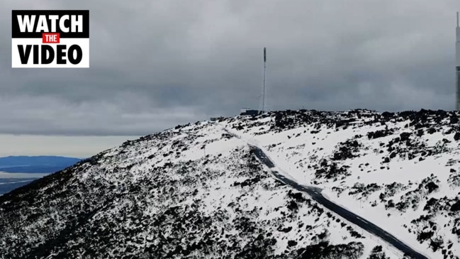
A SNOW blast is forecast for kunanyi/Mt Wellington this weekend in exciting news for those hoping to travel up the mountain.
The Bureau of Meteorology is predicting snow showers above 1200 metres for Saturday evening and at altitudes as low as 500 metres on Sunday, with the overnight temperature to dip to -3C Monday.
BOM senior meteorologist Michael Conway warned a “north-westerly flow” through the first half of next week may cause melting and bring rain to wash away snow, despite the significant falls.
“From Sunday afternoon it’s snow down to 500m in the South, but on Monday there won’t be as much due to a lack of precipitation,” Mr Conway said.
“We’ve got a north-westerly flow for the first half of next week which will probably melt or rain on a lot of snow except for the highest peaks.”
A minor cold front is expected to pass through the South on Thursday, which could facilitate aid strong snowfalls next weekend as well, Mr Conway said.
“There’s a cold front coming through Thursday, the rain will probably fall before the cold front comes,” he said.
“It’s a pretty weak cold front, it won’t have much of a bearing on temperatures across the state.”
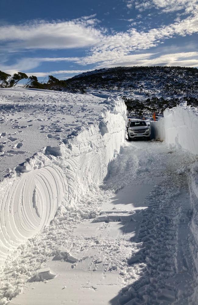
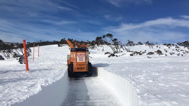
People are reminded to always check the road and weather conditions before they attempt to travel to the mountain.
Road closures should be checked on the City of Hobart website or the Tasmania Police community alerts page.
Hobart is set for a fairly mild week with maximum temperatures hovering between 11 and 13C, with a medium chance of showers late Saturday night and early Sunday morning.
Temperatures will be similar in Launceston and Devonport, with showers forecast for both cities through the middle of next week.
After snowfalls above 1500 metres on Saturday, Ben Lomond could have snow down to altitudes of 600 metres on Sunday, with more expected on Wednesday and Thursday.
More Coverage


Originally published as Snow blast predicted for kunanyi/Mt Wellington as winter settles in

Salmon worker wins compo claim after injuring back while checking nets
A tribunal found in favour of a Huon Aquaculture worker’s compo claim after she injured her back while checking nets. The full decision.

‘Utter grub behaviour’: Hoons destroy Hobart school oval
Vandals have videoed themselves destroying a primary school oval in Hobart, prompting a massive hit back by community members online. WATCH THE VIDEO >>