Qld weather: Seven-day heatwave before NYE storms for South East
Heatwave conditions continue across Queensland with the minimum temperature remaining above 30C in one spot. It comes as the Bureau warns of a possible NYE storm threat.
QLD weather news
Don't miss out on the headlines from QLD weather news. Followed categories will be added to My News.
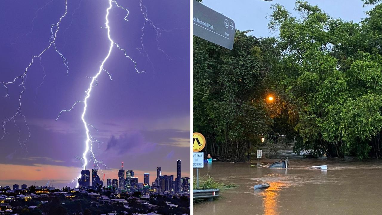
As parts of Queensland sweat through a heatwave, it could be a wet start to 2025 with the threat of showers and thunderstorms for New Year’s Eve and New Year’s Day.
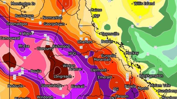
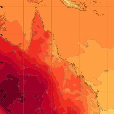
With a severe heatwave warning in place, the Bureau of Meteorology yesterday warned of seven straight days over 40C predicted for places like Mount Isa, Camooweal and Julia Creek.
Overnight temperatures reflected those conditions, with the minimum temperatures remaining stubbornly high in the state’s northwest, with 30.2C at The Monument.
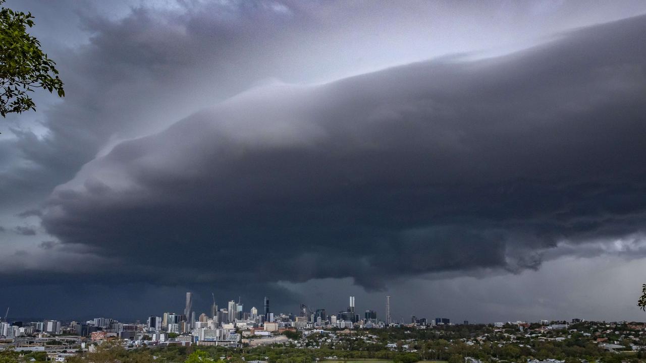
The Bureau of Meteorology says there’s the potential for shower and thunderstorm activity to kick off the new year as a trough moves across Australia into South East Queensland.
Meteorologist Daniel Hayes says the trough pushing in from the west, combined with a front from New South Wales, could dampen celebrations to kick off 2025.
“We’re starting to see the chance of some shower and storm activity through the south east and around the coastal parts, pretty much starting from tomorrow.”
Mr Hayes said wet weather would linger for days.
“We’ll have some activity through the South East and potentially increasing around the coast through New Year’s Eve and into New Year’s Day,” he said.
“Potentially, as that trough lingers, there’s more potential for it to draw in moisture from the tropics, so we may see the amount of rain potentially increasing with that.
“So as we look through tomorrow, with the shower and storm activity, there is primarily a wind risk, maybe some hail mixed in there, but then, as the trough potentially lingers through early to mid next week, we may see the chances of heavier rainfall coming with shower and storm activity.”
Meanwhile, heatwave conditions show no signs of relenting, with minimum overnight temperatures in parts of Queensland remaining stubbornly high.
As well as The Monument, it was similarly sticky at Trepell, Winton and Longreach (all 29.2C) and Urandangi (28.3C).
A severe heatwave warning is active for northwest and central districts, with seven straight days over 40C predicted for places like Mount Isa, Camooweal and Julia Creek.
The southeast is expected to be impacted a low intensity heatwave on Saturday when it could get to 37C in Brisbane and 40C in Ipswich.
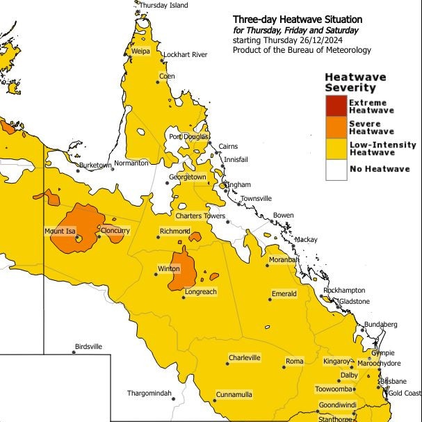
However, the Bureau of Meteorology is warning the heatwave could intensify to severe.
“We are seeing low intensity heatwave conditions developing from the inland area of Southern Queensland extending to the coast reaching Brisbane, Gold Coast and Sunshine Coast,” forecaster Jonathan How said.
“Brisbane itself looks like it will be within the severe intensity conditions in the coming days.
“It is still extremely hot and above average for this time of year.”
Originally published as Qld weather: Seven-day heatwave before NYE storms for South East

