Qld weather: Storm warnings issued for southeast after region battered by baseball-size hail
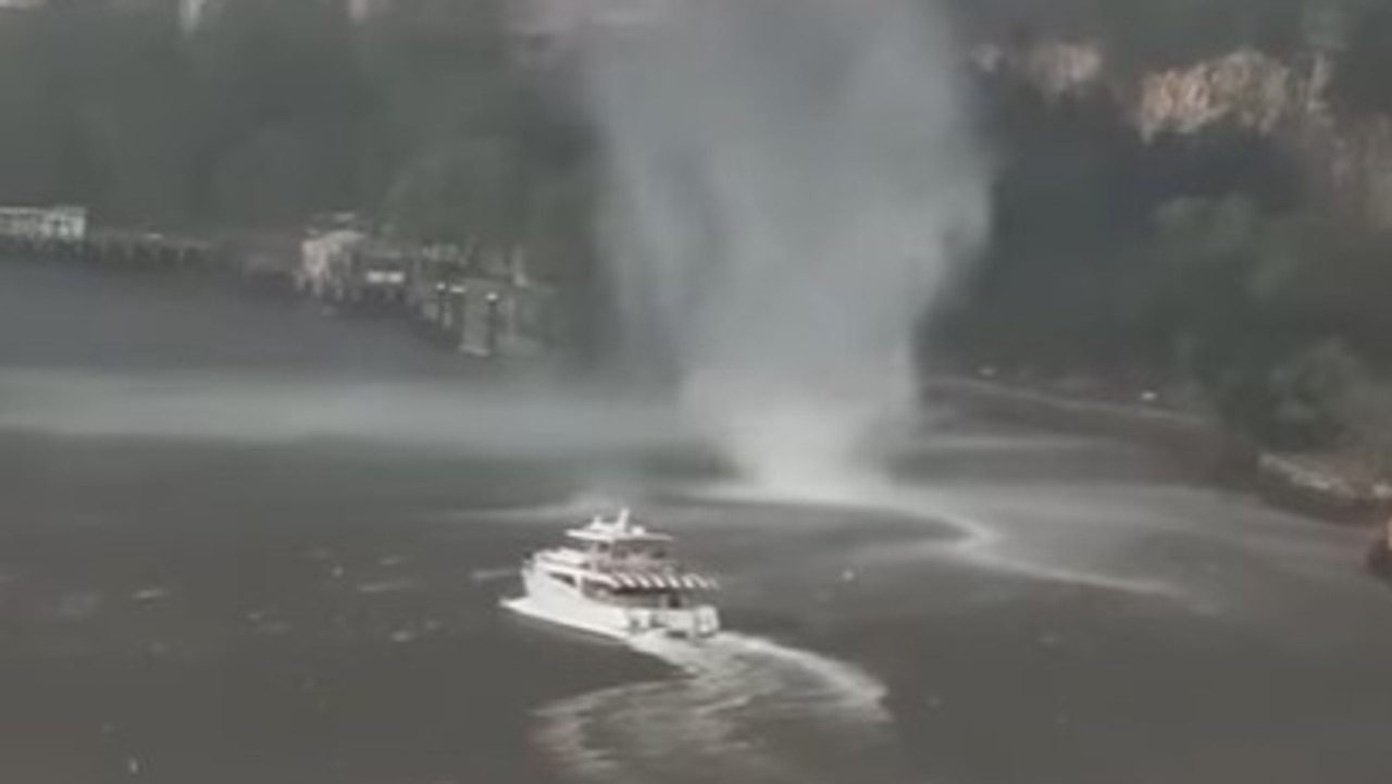
Wild footage has captured a mini-tornado, which authorities are referring to as a gustnado, sweeping down the Brisbane River at Kangaroo Point during a severe storm.
QLD weather news
Don't miss out on the headlines from QLD weather news. Followed categories will be added to My News.
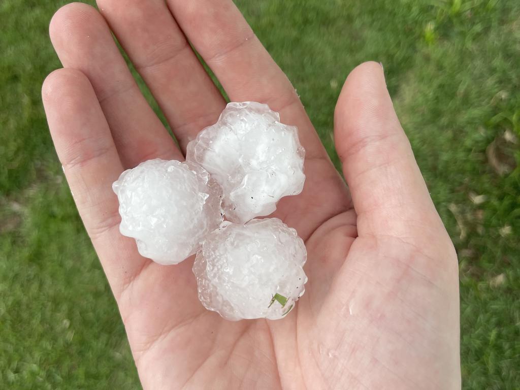
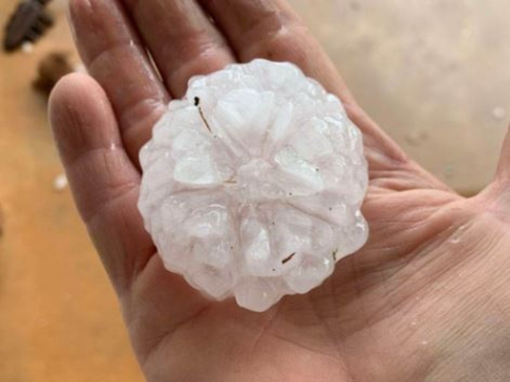
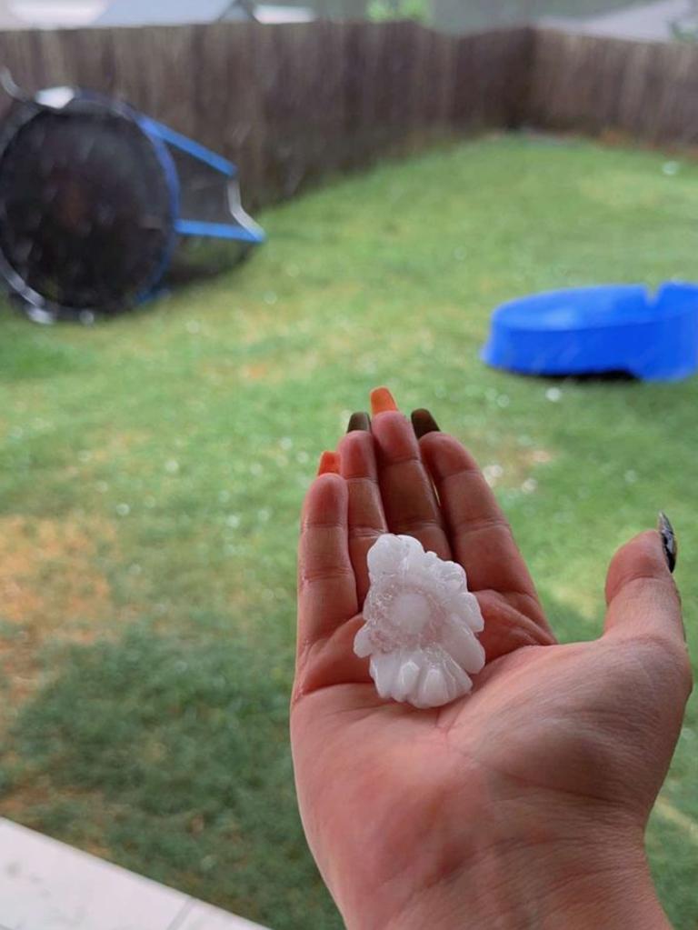
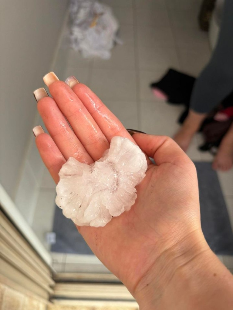
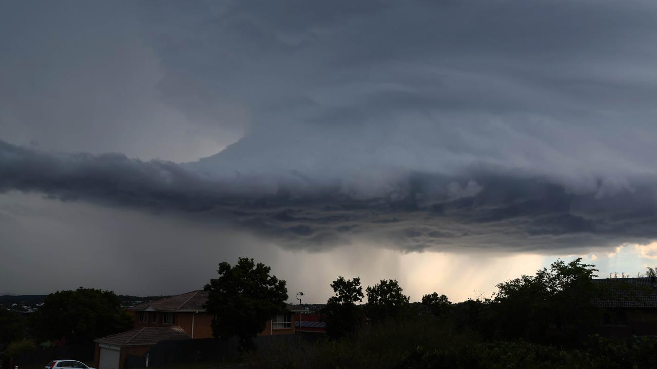
South East Queensland was smashed by more severe thunderstorms after the region was battered by baseball ball-size hail and up to 98mm heavy rain on Thursday.
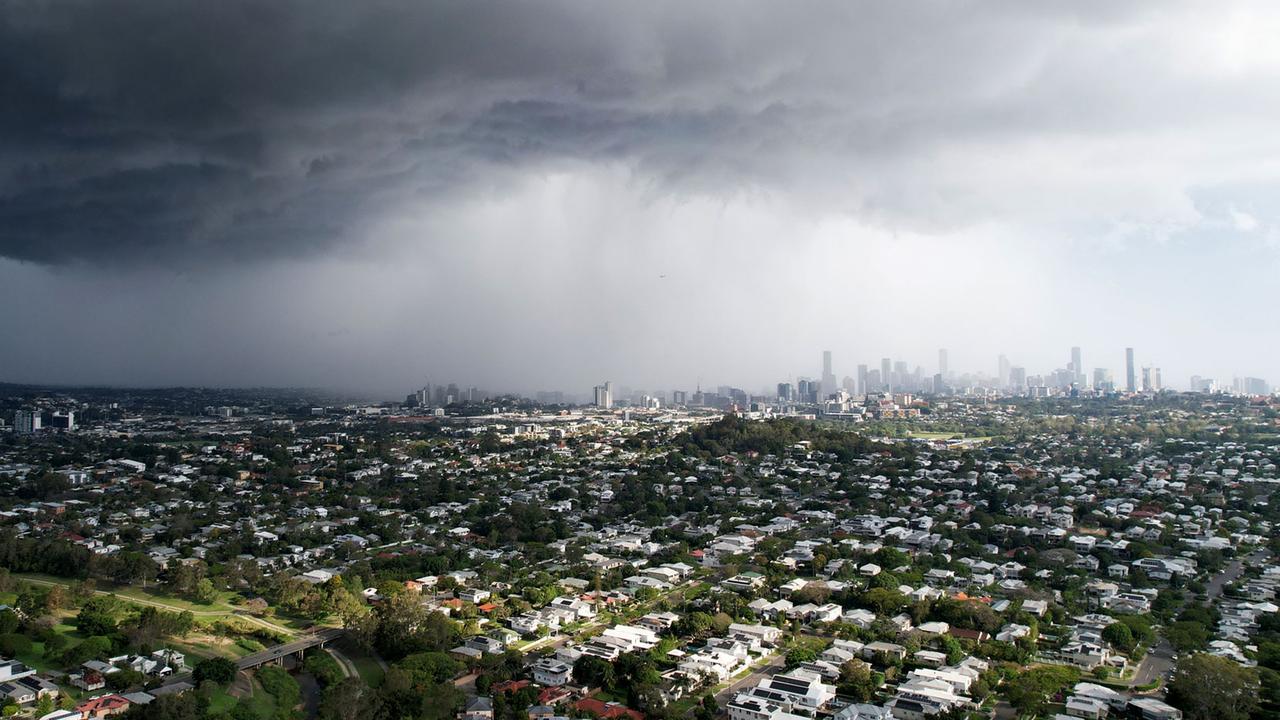
Brisbane was pounded by large hail, with reports of a mini tornado in the inner-city, during a “very dangerous” storm that had dumped 7cm hail on the Scenic Rim.
The mini-tornado was seen sweeping down the Brisbane River at Kangaroo Point, as dangerous winds accompanied the hail and downpour of heavy rain around 4pm.
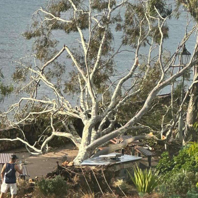
There were reports of damage shortly after, with a large gum tree knocked over at the bottom of the Kangaroo Point cliffs.
A man in his 20s was taken to the Mater Hospital with minor injuries to his head and arm after a tree branch reportedly fell on him at lower River Terrace, Kangaroo Point at 4.04pm.
“From what I can tell this isn’t a fully fledged tornado, but more likely a “gustnado” that is a more transient feature on the leading edge of the storm,” 7News Queensland meteorologist Tony Auden said.
“Still looked like it had some strong winds in it though!”
The severe thunderstorm also impacted several domestic and international flights, causing delays. According to Brisbane Airport spokesman Peter Doherty, heavy rainfall and pea-sized hail was recorded on the airfield.
Mr Doherty said while there were no reports of damage to the terminal or aircraft during the storm, flight arrival and departure delays were reported.
“As a precaution, engineers are conducting inspections of aircraft to ensure there’s no hail damage, before clearing them for flight,” Mr Doherty said.
“Departures are experiencing an average 45-minute delay, with arriving flights an average 15 minutes behind schedule.
“The system has now cleared and is passing Moreton Island.”
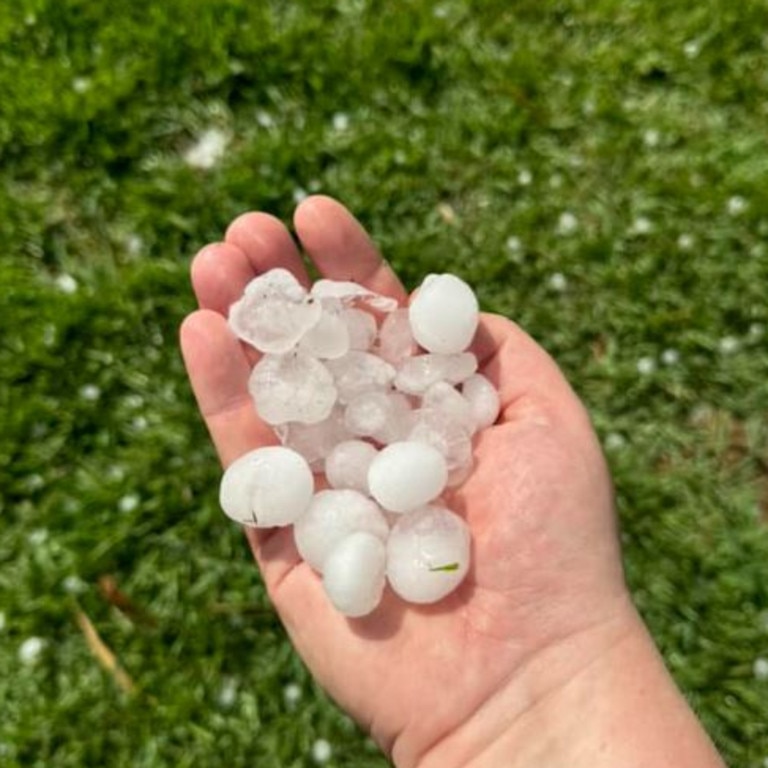
Around the southeast, 6cm hail was recorded at Boonah, as a “very dangerous” storm swept through the Scenic Rim shortly after 2.30pm, while 7cm hail was recorded at Flagstone about 3.15pm.
All severe thunderstorm warnings were cancelled by 6.06pm.
Referring to the footage of what was claimed to be a tornado in the Brisbane River, the Bureau of Meteorology’s Pieter Claassen said it was a gustnado.
“In terms of what was said to be a tornado, we’re calling it a weak gustnado,” he said.
“Essentially a gustnado is formed due to the wind gusts that are put out by thunderstorm cells.
“This wind gust created a little rotation that was seen over the Brisbane River. It was quite weak and quite short lived, but yeah, it wasn’t a tornado.”
Mr Claassen said tornadoes typically have a longer duration.
“Tornadoes typically are longer lived and often stronger, and they connect from the surface to the cloud, whereas in this case, it was just a little rotation at the surface around the Brisbane River,” he said.
“Not strictly meeting the definition of a tornado, but rather a weak gustnado or a water spout.”
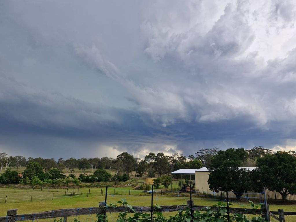
Mr Claassen said the severe thunderstorms that moved through South East Queensland, particularly the system that formed near Boonah, carried large hail.
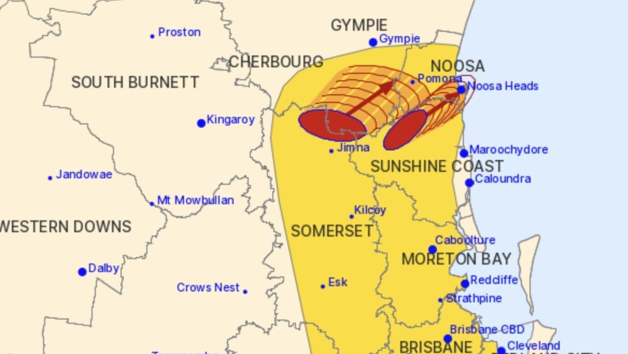
“There was one particularly severe cell that we saw form around Boonah and Beaudesert, and then track northeast all the way through some suburbs of Brisbane and into Moreton Bay,” Mr Claassen said.
“We’ve seen some reports of giant hail, so between Boonah and Beaudesert we saw some reports of five- to six-centimetre hail there.
“We have also seen some reports of five-centimetre hail at Morningside.
“A few other locations saw large hail along the path of that severe thunderstorm of up to about four centimetres, as that tracked north-eastwards.”
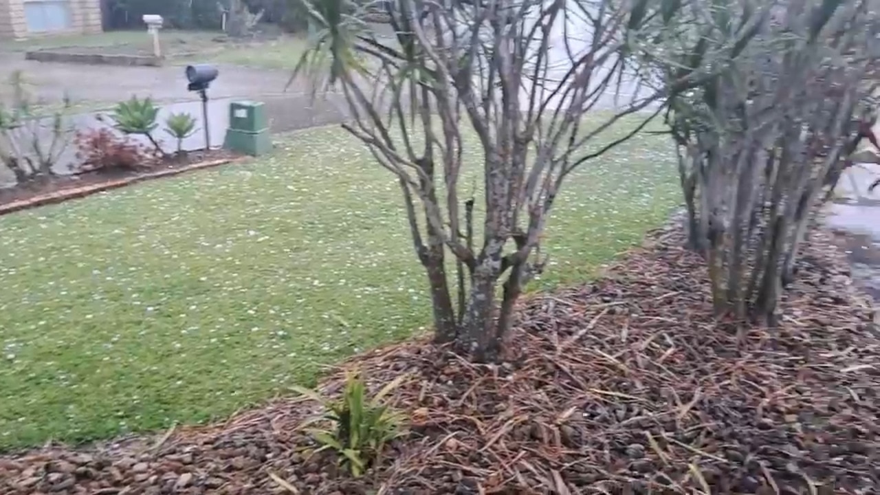
Mr Claassen said the weather system had the “right ingredients” for large hail to form.
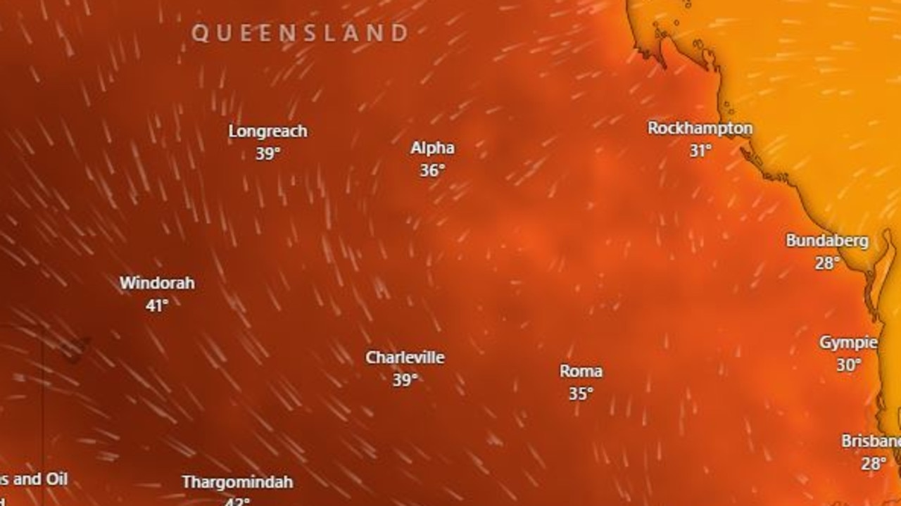
“We had quite warm temperatures today in a very unstable atmosphere as well,” he said.
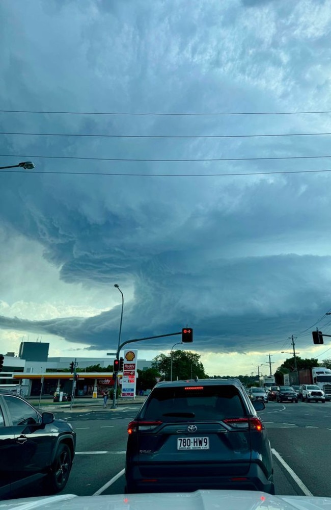
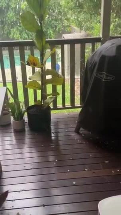
“So that just means the updrafts and those thunderstorms are quite strong that supports hail growth inside the thunderstorm cloud.
“The stronger the updrafts, the longer those hail stones can be held aloft in the thunderstorm cloud, and the longer they have to grow and become bigger.
“Typically when we see large hail, we have really strong updrafts in those thunderstorm clouds, and we had the right ingredients for that to happen today.”
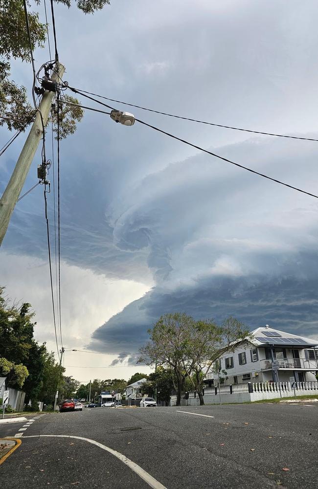
In an earlier forecast, Bureau of Meteorology meteorologist Sarah Scully had warned residents to expect “giant hail”.
“The main areas of concern are the southeast coast and the Wide Bay Burnett regions into this evening,” Ms Scully said.
“We are expecting giant sized hail, heavy rainfall and damaging wind, all of these areas are at risk.”
Ms Scully said more storms are expected on Saturday, with the most severe impacting Wide Bay Burnett.
“Storms are possible tomorrow across all of south East Queensland,” she said.
Mr Claassen said the focus of potentially severe thunderstorm activity on Saturday will be in the Wide Bay and Central Queensland.
“We’re not expecting the high-end severe storms like we saw today, but more of the large hail, damaging winds, rather than the giant hail potential for tomorrow,” he said.
“We see conditions ease a little bit from Sunday and into too early next week, so a little bit more of a lull in the weather, particularly for Brisbane, maybe one or two afternoon storms in Central Queensland, still on Sunday, but very isolated and not expected to be severe.”
Originally published as Qld weather: Storm warnings issued for southeast after region battered by baseball-size hail


