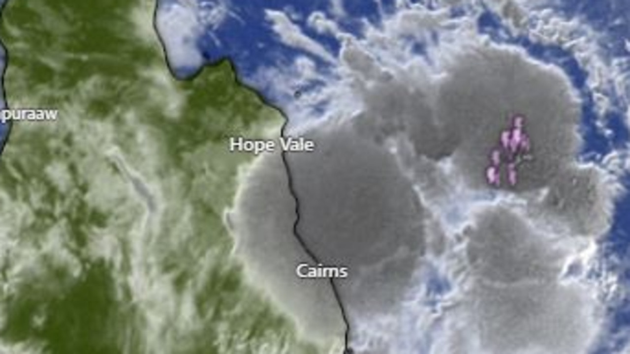
Qld weather: More storms coming on Monday after huge downpours
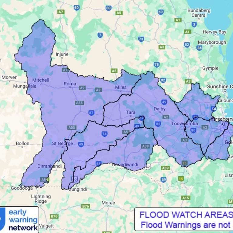
Large parts of South East Queensland are currently under flood watch with a new map highlighting just how widespread the rainfall has been.
QLD News
Don't miss out on the headlines from QLD News. Followed categories will be added to My News.
Parts of South East Queensland are currently under flood watch after more significant rainfall fell on Sunday.
The Bureau of Meteorology issued a forecast update for Monday with severe thunderstorms possible for northern, central and eastern parts of the state with potential damaging winds and heavy rain stretching from the Gold Coast to Tully.
â›ˆï¸ Thunderstorm FORECAST for MONDAY: Severe thunderstorms are possible in northern, central, and eastern #Qld, and are likely between Tully and Monto. Hazards are LARGE HAIL, DAMAGING WINDS & HEAVY RAIN.
— Bureau of Meteorology, Queensland (@BOM_Qld) January 12, 2025
Today's warnings: https://t.co/FBmpsInT9opic.twitter.com/xZj2qu4ifr
Logan City Council released the latest flood watch information showing just how widespread the area of concern is.
“Catchments are wet and rivers will respond relatively quickly to further rainfall,” the warning reads.
“Localised heavy falls with thunderstorm activity and more moderate widespread rainfall is forecast for south east coastal and southern inland catchments. Rainfall will continue to affect the Flood Watch area into Sunday before easing during Monday. There is significant uncertainty in the timing and location of the heaviest falls.”
A minor flood warning was issued earlier Sunday for the Bremer River and Warrill Creek.
The Bureau of Meteorology warned that the Bremer River at Rosewood was at 3.44 metres at 6am and rising.
Warrill Creek at Amberley was at 4.04 metres and above the minor flood level.
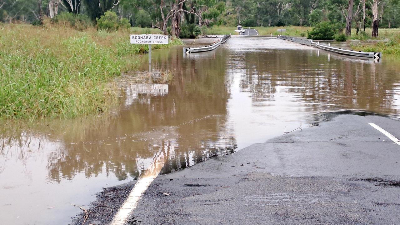
A warning has also been issued for Logan River, with minor flooding occurring at Rathdowney, Round Mountain and Boonah. Earlier this morning, the river levels at Beaudesert peaked at 5.37 metres and had since dropped to 5.12 metres.
There is currently minor flooding along the Mary River downstream of Gympie, with flooding at Tiaro and Miva expected to exceed the minor flood levels later on Sunday.
The highest overnight totals were recorded on the Gold Coast, with 63mm at Molendinar and 62mm at Clagiraba.
In Brisbane’s south, Holland Park West recorded 51mm, while Chandler recorded 42mm.
Bureau of Meteorology Senior Meteorologist Angus Hines said there is a widespread risk of severe thunderstorms along the coast between Townsville and Gold Coast.
“It’s another day when storms and showers are expected to ramp up until we get into late afternoon, when the storms will become the most intense,” he said.
He said rainfall exceeding totals recorded yesterday were possible.
“It’s certainly another stormy afternoon, much like the last few days. We will see variable rainfall totals and some areas could see 100mm or more,” he said.
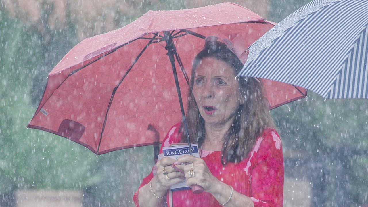
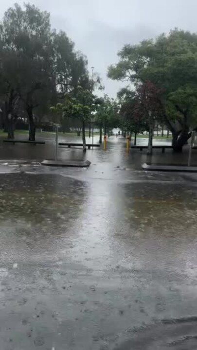
Flood warnings have been issued this morning around Brisbane, with Pullenvale, Kenmore Hills, Brookfield, Bardon, Ransome, Lytton and Boondall closed due to flash flooding.
It follows days of heavy rainfall and severe thunderstorms across the state.
The radar on Sunday morning showed relatively clear skies over much of Queensland except the southeast, which has had a rain bomb sitting over it since Saturday.
Sunday’s impending downpour comes after BOM issued multiple warnings throughout Friday afternoon and Saturday, with the South Burnett region once again in the firing line after two major flooding events in less than a month.
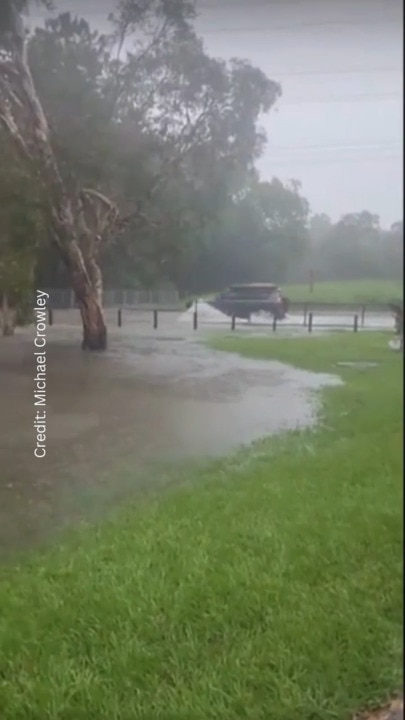
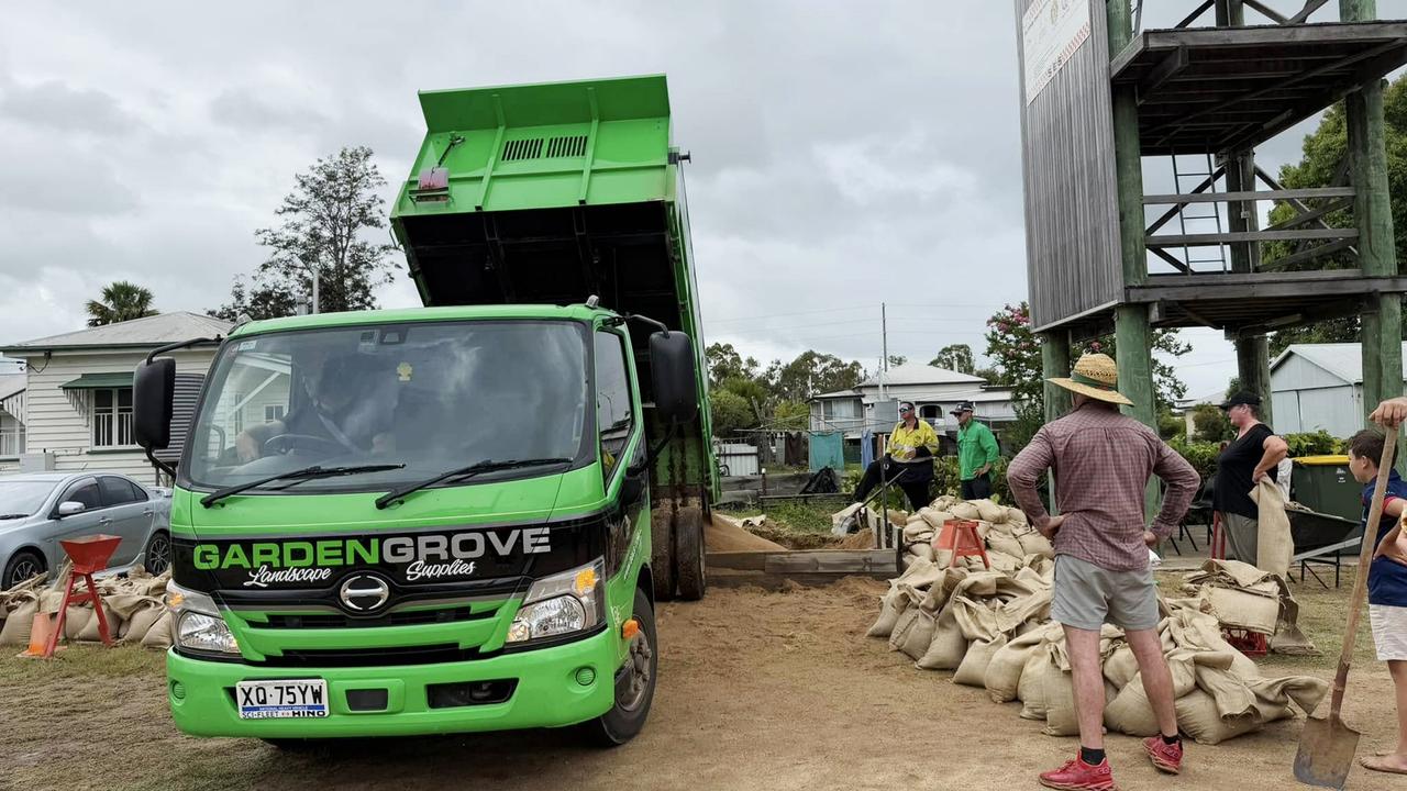
In the South Burnett, dozens of roads were cut on Friday night and Saturday and residents took to social media to reveal pictures of water rising near their homes.
On Saturday, the Lockyer Valley was soaked as severe storms dropped 120mm in some spots. Rain also battered Brisbane for much of Saturday, with 73mm falling near Ipswich and 90mm in parts of Moreton Bay, where a number of road incidents were attributed to poor conditions.
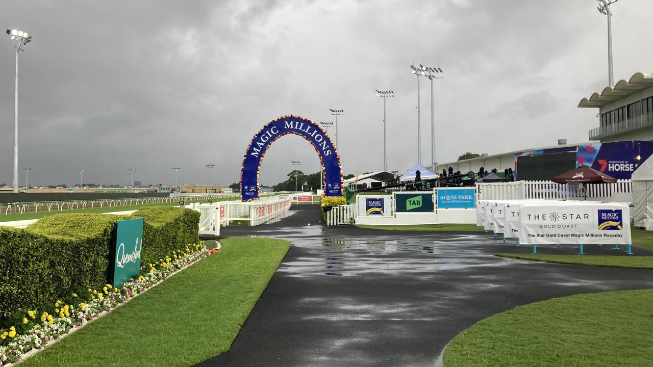
The Magic Millions race day kicked off early but racing was stopped and the track assessed by midafternoon.
Remaining races were postponed, and will run next Friday after a difficult week for the prestigious event.
Rising water levels led to further releases from Wivenhoe and Somerset Dams.
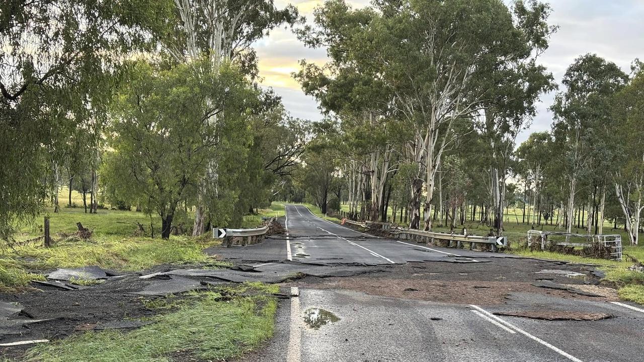
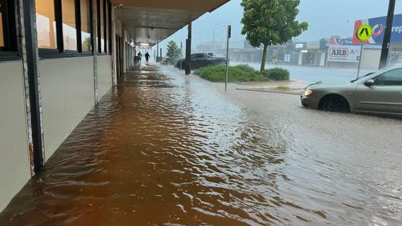
“Unfortunately, we do have a continued chance of both heavy rain and resulting flash flooding for much of eastern and southeastern Queensland and certainly across that South Burnett district,” the Bureau of Meteorology’s Angus Hines said.

“The storm activity will begin around the Sunshine Coast and Gold Coast on Sunday morning and moving inland throughout the day.
“But we’re likely to see areas of heavy rain, which may either prolong or add new areas of flash flooding. We could also see some large hailstones.”
FLOOD WARNINGS FOR QLD RIVERS
– Minor flood warning for Boyne River and Barambah Creek and flood warning for the Stuart River and Barker creek.
– Minor flood warning for the Burrum River and flood warning for the Cherwell, Isis, Gregory and Elliott rivers
– Minor flood warning for the Mary River
– Minor flood warning for the Bremer River and Warrill Creek
– Flood warning for the Logan River
Originally published as Qld weather: More storms coming on Monday after huge downpours


