Before and after: Interactive map reveals Cyclone Tracy’s trail of destruction
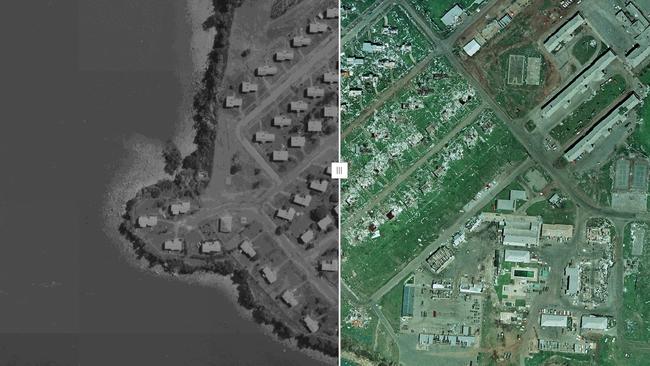
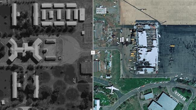
You can now view the before and after pictures of Cyclone Tracy through a new interactive map. Find out how to see your house and other Darwin sites.
Northern Territory
Don't miss out on the headlines from Northern Territory. Followed categories will be added to My News.
As part of the 50-year anniversary of Cyclone Tracy, a new interactive map has been released to the public.
The map, a project that was lead by the Department of Tourism and Hospitality, and assisted by the Department of Lands, Planning and Environment, uses a slider feature to reveal the cyclone’s trail of destruction.
It allows viewers to see a place before and after the cyclone, as well as today’s view, too.
“We encourage people to try and find their address, or place of significance, on the map to compare Darwin post Cyclone Tracy to the vibrant and multicultural city it is today,” a City of Darwin spokesperson said.
Images from Darwin in 1975 were overlaid with images from Darwin in 2024 and included a slider a slider to reveal each mapped image for review and comparison.
The map can be accessed online through the website, https://cyclonetracymap.com/
Users can enter in an address, including their home, to see the pictures themself.
Cyclone Tracy before and after pictures:
LIM’S HOTEL (BEACHFRONT HOTEL)
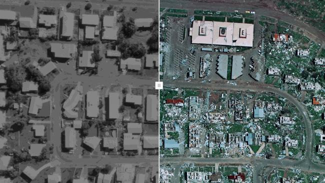
FANNIE BAY GAOL
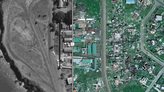
MILLNER PRIMARY SCHOOL
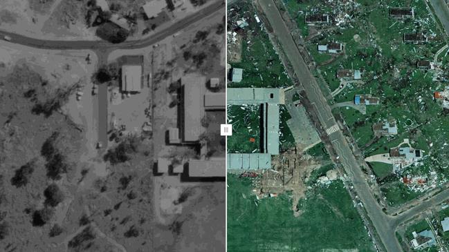
NIGHTCLIFF POOL
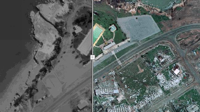
LARRAKEYAH BARRACKS
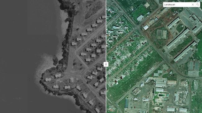
NIGHTCLIFF DRIVE-IN CINEMA
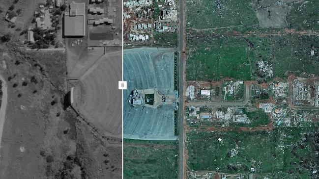
CHARLES DARWIN UNIVERSITY
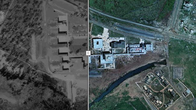
CASUARINA SHOPPING CENTRE
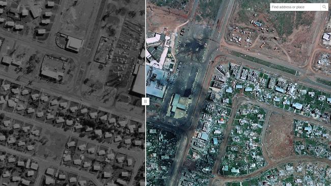
DARWIN AIRPORT
More Coverage
Originally published as Before and after: Interactive map reveals Cyclone Tracy’s trail of destruction


