
Snowstorm to hit Victoria and Australia’s east coast as wild weather forecast for Melbourne
TWO men are waiting to be rescued after becoming trapped in snow in rural Victoria as severe weather warnings continue for much of the state.
National
Don't miss out on the headlines from National. Followed categories will be added to My News.
TWO men are awaiting rescue in Victoria’s alpine region after snow forecast in this week’s cold snap made it too risky for them to return on their own.
The duo were due to return from Moroka in east Gippsland, 315km east of Melbourne, today but forecast heavy snow will make it too dangerous to negotiate the rugged terrain in their vehicle.
A State Emergency Services crew from Maffra was due to arrive at 2.30pm.
Police and Parks Victoria have been put on standby.
The pair have been stuck in their vehicles since Saturday, an SES spokesman said today.
It is not clear what the men were doing in the region but it is known to be a popular 4WD spot.
“They have enough food and provisions but they did the right thing by calling us,” the SES spokesman said.
The duo are not the only ones to become trapped due to the weather.
Victorian police are warning people to take care in the outdoors after two hikers needed to be rescued on Friday.
They had to be retrieved from Staircase Spur at Mount Bogong after becoming disorientated.
People were continuing to “chance their luck” in environments that could change in an instant with potentially fatal consequences, Emergency Services Management Inspector Paul Hargreaves said.
“Our people are entering these environments to rescue people who should have heeded the current warnings and considered the risks,” he said.
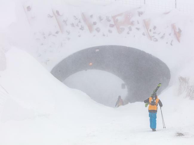
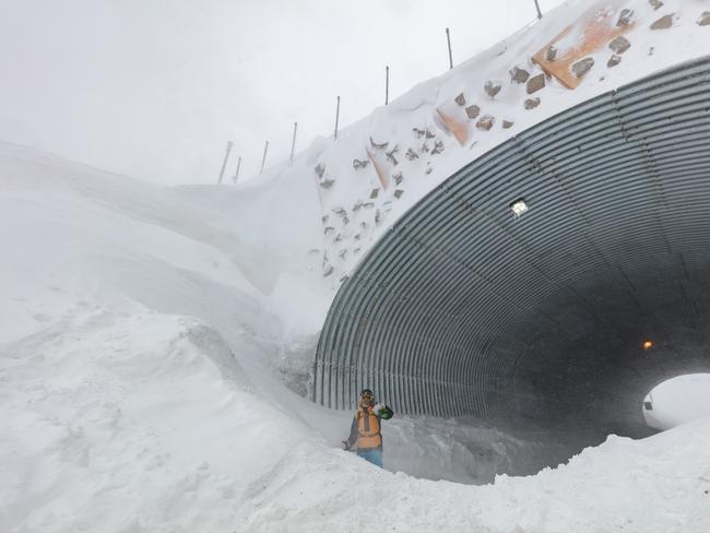
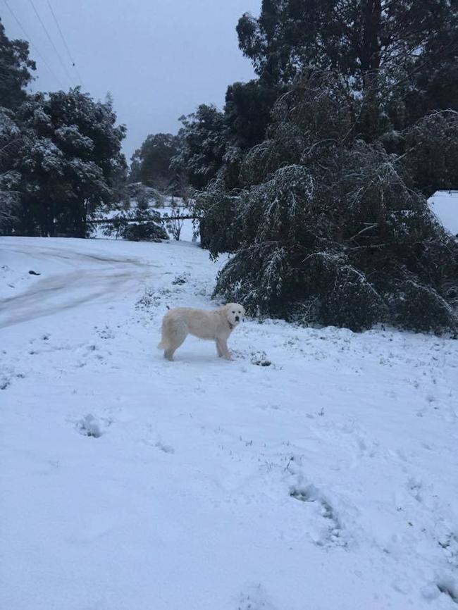
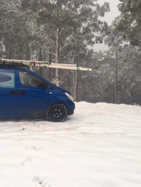
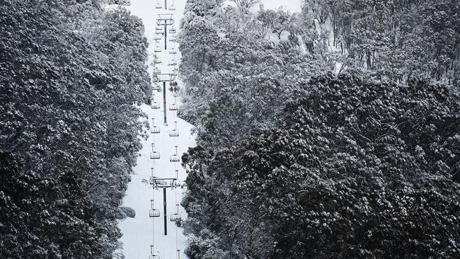
Fresh snow has been plentiful in the first days of spring with falls down as low as 300m and alpine resorts getting top-ups of between 10cm and 30cm, a Bureau of Meteorology forecaster said.
“It’s not what I would call a huge dump but it’s certainly been a steady snow for the past few days, particularly out in the Great Dividing Range,” senior forecaster Richard Carlyon said.
Severe weather warnings remain in place for most of the state and 100km/h wind gusts are predicted along with a risk of avalanches in back country alpine areas.
Areas most likely to be affected by damaging winds include Portland, Warnambool, Colac, Wonthagi and Alpine resorts.
Thunderstorms and showers are also expected for Melbourne and regional centres today while high country snowfalls are expected to continue.
The Great Alpine Road is closed from Harrietville to Mt Hotham due to poor visibility and heavy snow, but access is still possible to Mt Hotham via Omeo/Bairnsdale.
Check the Mt Hotham website if travelling to the mountain.
Mt Buller has seen 20cm of snow in 48 hours, adding to the 127cm of natural snow and 160cm in snowmaking areas.
The “vigorous” weather system is expected to cause chaos as it moves across Victoria and Australia’s southeast.
A thunderstorm may hit parts of Melbourne later today, with strong wind gusts above 50km/h.
The city will reach a top of just 13C.
Strong wind warnings remain in place.
The Bureau warns: “Damaging west to north-westerly winds of 50 to 60km/h with gusts of 90 to 100km/h are possible with showers and thunderstorms over coastal parts of the Southwest, Central and West and South Gippsland districts today.
“Similar strength winds are also expected over Alpine parts of the Northeast and Gippsland districts.
“Localised damaging winds with gusts up to around 90km/h associated with showers are possible for remaining parts of the warning area from late this morning.
“Locations most likely to be affected include Portland, Warrnambool, Colac, Wonthaggi and the Alpine resorts.”
Snow at federation university mt Helen campus (ballarat) yesterday afternoon pic.twitter.com/Lwp4YdZt4G
— Luke Gahan (@luke_gahan) September 4, 2017
The SES had received 60 calls for assistance as of 9pm last night, mostly from the Frankston area where high winds had brought down trees.
He said people were heeding safety messages from authorities.
“For the most part those messages are getting through to a lot of people,” a spokesman said.
“When the weather warnings come through from the Bureau of Meteorology, they’re not parking under trees and they’re cleaning up their backyards to ensure no dangerous materials fly around and cause injury.”
The highest wind gusts as of 10pm on Monday included 107km/h at Wilsons Promontory, 106km/h at South Channel Island and 104km/h at Port Fairy.
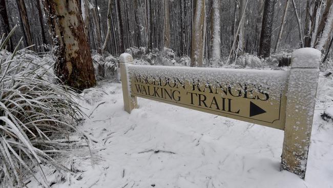
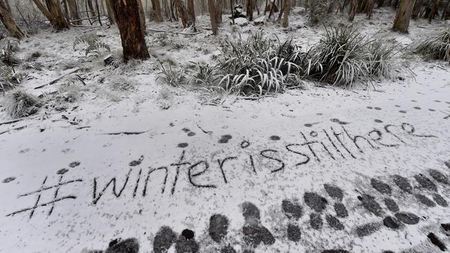
Photos and video of hail and snow appeared out of Geelong, Ballarat, Mt Macedon, Lorne and Shepparton yesterday.
Photos on the Destination Surf Coast’s Facebook page show heavy snowfall around the area late yesterday.
Folks in VIC and TAS won't be surprised to learn that this air mass comes direct from Antarctica. Snowfalls to low levels today and tonight. pic.twitter.com/fd2EGC2thO
— Andrew Miskelly (@andrewmiskelly) September 4, 2017
Who says it doesn't snow in Shepparton pic.twitter.com/5KYAvVDER8
— Scott Keating (@SKeats71) September 4, 2017
Snow is expected to fall at Ballarat and the Otways near Geelong, while massive snow dumps are forecast on the NSW Snowy Mountains, with 100cm expected between Sunday and Thursday.
Between 80-100cm will fall on the Victorian snowy mountains.
Cradle Valley in Tasmania will cop 50-70cm.
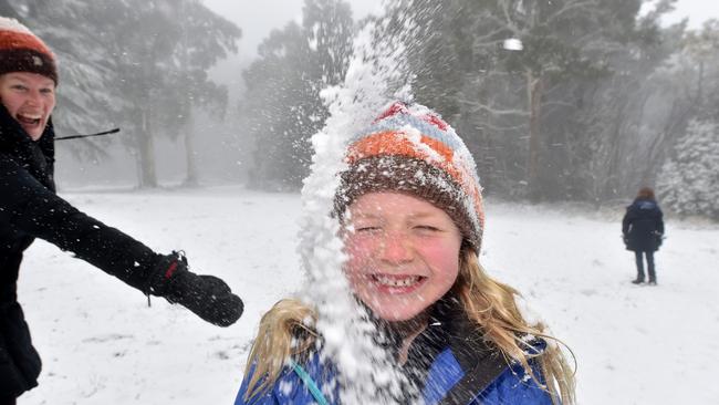
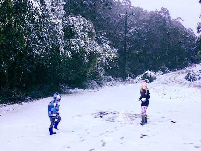
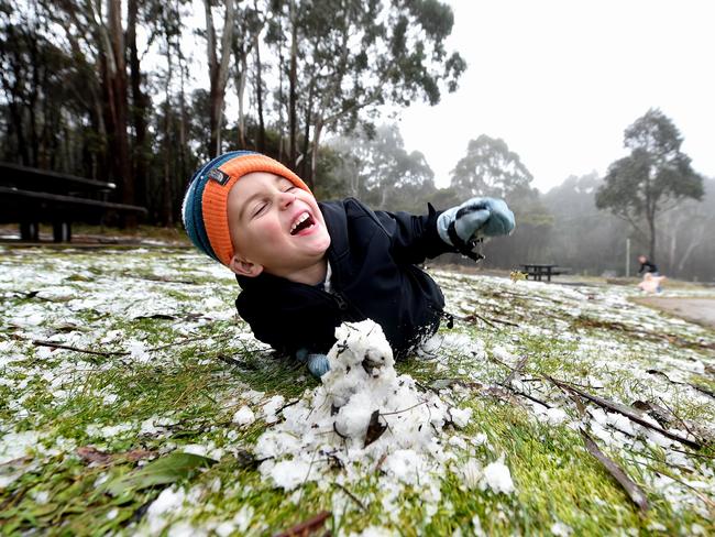
Snow was sighted in Ferny Creek, 33km southeast of Melbourne’s CBD, as the state shivered through a cold Monday.
Snow falling at Ferny Creek at 11am today! More snow expected overnight & good falls across #Alpine areas 📹D.Jones https://t.co/0UJCDT0IqA pic.twitter.com/L3gj0UjwHQ
— BOM Victoria (@BOM_Vic) September 4, 2017
Where to find snow near Melbourne this week
While many Melburnians will keep warm indoors, this week presents another opportunity for families to experience snow.
And you won’t need to climb a mountain to see it.
Light snow was sighted in Ferny Creek, Ballarat, Geelong, Mt Macedon, Lorne, Daylesford, Creswick, Gordon and Shepparton yesterday.
Today, you might catch some snow at the Dandenong Ranges, Ballarat and around Victoria’s alpine resorts.

‘Superhero’: How stabbing rocked community
A tight-knit coastal community is grappling with grief and disbelief following the fatal stabbing of a beloved local businessman.

Urgent alert after rare virus case detected
An urgent health alert has been issued after a rare virus, acquired from overseas, was detected in a returned traveller to Australia.