Pakenham mapped: Train line level crossing removals to be completed in 2025
There has been major changes to the Pakenham train line over the past decade. Use our interactive map and image sliders to see what’s changed.
Leader’s exclusive weekly look at the impact the level crossing removals have had on our suburbs rolls on to the Pakenham line.
See our interactive map of the Pakenham line removals below.
The aerial imagery in this special report demonstrating how the line has changed over time is provided by Australian location intelligence company Nearmap.
The company provides government organisations, architectural, construction and engineering firms and other companies with easy instant access to high resolution aerial imagery, city-scale 3D content, artificial intelligence data sets and geospatial tools to assist with urban planning, monitoring and development projects in Australia, New Zealand, and North America.
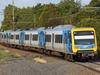
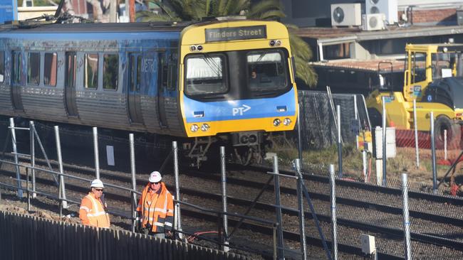
On the busy Pakenham line, 13 level crossings have been completely removed, with work or planning on eight more ongoing and estimated to be competed in 2025.
gemma.scerri@news.com.au