
Here's what you can expect with tomorrow's Bendigo weather
As summer moves towards autumn what can locals expect tomorrow? We have the latest word from the Weather Bureau.

Hyperlocal
Don't miss out on the headlines from Hyperlocal. Followed categories will be added to My News.
Tomorrow's forecast is mostly cloudy; ne winds tending fresh s'ly.
The highest expected temperature tomorrow is 35, which is two degrees lower than today's max.
Today's maximum is the highest the mercury will climb over the next seven days, according to the forecast.
The chance of rain tomorrow is 10 per cent.
Showers are more likely on Saturday when the Bureau of Meteorology forecasts a medium (40 per cent) chance of rain.
The UV index is predicted to be 11. There is an extreme risk of harm from sun exposure. Unprotected skin can burn within minutes in today's conditions. Experts suggest looking for shade and avoiding sun exposure around noon. General advice is to take all precautions such as using eye protection, sunscreen and covering up.
Winds will be east around 9 km/h in the morning shifting to west-southwest around 21 km/h in the afternoon.
Details for the next six days:
Friday, February 7: Mostly cloudy. NE winds tending fresh S'ly Min - 20. Max - 35.
Saturday, February 8: Mostly cloudy morning. Mostly sunny afternoon. Fresh S'ly winds Min - 15. Max - 28.
Sunday, February 9: Mostly cloudy. Clearing shower. Fresh SE winds Min - 15. Max - 29.
Monday, February 10: Mostly sunny. SE winds Min - 14. Max - 31.
Tuesday, February 11: Mostly sunny. E'ly winds Min - 16. Max - 33.
Wednesday, February 12: Sunny. SE/NE winds Min - 18. Max - 35.
The previous Bendigo weather article can be viewed here.

Here’s what you can expect with today’s Bendigo weather
As summer moves towards autumn what can locals expect today? We have the latest word from the Weather Bureau.
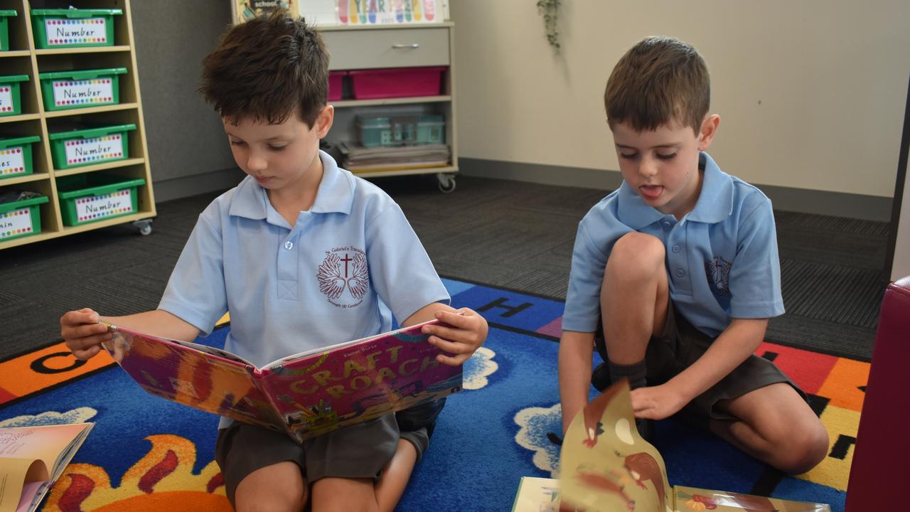
Pictures: Victorian preppies start their first day of school
About 70,000 Victorian grade prep students have started their first year of school this week. Check back to see all the photos from primary schools across the state.