
Maps that show why all Victoria is staying in lockdown
Victoria will spend another week in lockdown, with these maps showing how alarmingly widespread the number of primary close contacts and red zone permit holders are statewide.
Coronavirus
Don't miss out on the headlines from Coronavirus. Followed categories will be added to My News.
Victoria’s current lockdown has been extended by one week — and these maps help explain why.
Two maps created by the Department of Health show the number of people who have returned or are visiting Victoria on red zone permits and the postcodes where they are quarantining. Another displays the location of primary close contacts statewide.
Here is a look at the maps and what other factors contributed to Victoria’s lockdown extension.

RED ZONE PERMITS
Returning residents or interstate visitors must apply for one of three travel permits when entering Victoria, depending on where they are travelling from in Australia.
Greater Sydney was deemed a ‘red zone’ because of its current Covid-19 outbreak.
This means anyone travelling from Greater Sydney to Victoria must apply for a red zone permit and follow the rules attached to this permit once they arrive.
A breach of red zone permits by three Sydney removalists partially led to Victoria’s current outbreak and plunged the state into a fifth lockdown.
The men breached their permit conditions — they didn’t wear a face masks, failed to record-keep and didn’t self-isolate when possible.
But the Sydney removalists were just three of thousands of red zone permits active in Victoria.
DHS data shows there are more than 3000 people isolating in Victoria on red zone permits — spread across 569 postcodes.
Associate Professor Hassan Vally, of La Trobe University’s Department of Public Health, said in theory red zone permit holders who were in quarantine and doing the right thing didn’t pose a threat to the community.
“It is important for people to follow the rules,” Assoc Prof Vally said.
“Those truck drivers were supposed to be following the rules, didn’t follow them and that’s how this cluster started.”
“In theory those people (red zone permit holders) don’t pose a threat for the community as they have gone into quarantine as per the rules … and are not a risk to the community.”
Deakin University Epidemiology Chair Professor Catherine Bennett said red zone arrivals didn’t put a strain on contact tracing as they weren’t part of the Victorian outbreaks.
“I haven’t had reports of any cases being detected among returnees from NSW, and given all have to test within 72 hours,” Prof Bennett said.
“The risk here is if we do not have complete compliance with testing, or people might be incubating the virus who initially test positive.
“If they isolate as required, they will not pose a risk, but that means monitoring hundreds of households in case one or two end up harbouring the virus.”
Premier Daniel Andrews announced a crackdown on returning red zone permit residents from midnight Tuesday.
For the next fortnight, red zone permits will only be granted in exceptional circumstances.
PRIMARY CLOSE CONTACTS
Chief health officer Prof Brett Sutton said there were many things that led to Victoria’s week-long lockdown extension, but the widespread number of primary close contacts was challenging.
“To have 18,000 contacts, close contacts of just 85 cases, to have them spread across the entire state, to have this thing go from the centre of Melbourne at the MCG to Ballan, Bacchus Marsh, South Barwon, Mildura and so many places in between shows you how fast it moves and how challenging this is,” Prof Sutton said.
“This outbreak has touched the whole state and that was in a way that the Delta outbreaks didn’t do back in May and June.”

The number of primary close contacts linked to each cluster continues to grow daily.
The MCG cluster has grown to 3800; Ms Frankie restaurant 840; Trinity Grammar 2500; Phillip Island 700; AAMI Park 2100 and City of Hume 11.

DHS data obtained by the Herald Sun shows a postcode breakdown of how widespread the active cases, primary close contact are red zone permits are:
— 84 active cases spread across 36 postcodes.
— Exposure sites stretch across 53 postcodes.
— 377 postcodes have primary close contacts in quarantine.
— 569 postcodes have people who are quarantine after returning from a red zone.
Assoc Prof Vally said it was possible the widespread number of primary close contacts statewide led to Victoria’s lockdown extension.
“The fact that there are so many and are so geographically diverse, we can assume some of those people have had time in the community while infectious and that is a concern,” he said.
Prof Bennett said not all test results for primary close contacts linked to the main exposure sites had come back and this would have in part added to the case for extending lockdown.
“Given these have been associated with transmission this would have added to the case for extending lockdown,” Prof Bennett said.
“If those outstanding tests come back negative, and it looks like all PCCs linked to a venue have been identified, then we can start to close off these branches of the outbreak investigation.”
CHAINS OF TRANSMISSION
Prof Sutton said around one third of all primary close contacts are in regional Victoria — a noticeable difference in this outbreak compared to previous outbreaks.
For this reason, Prof Sutton said it was too early to lift restrictions in regional areas.
“We have seen significant and stand-alone outbreaks in regional areas in Phillip Island, Bacchus Marsh, Barwon Heads and as far away as Mildura,” he said.
“Much of that is due to the superspreading events early on in this outbreak that took place in the MCC members’ reserve for the Geelong-Carlton game.”
“It is something that brings Victorians from far and wide and back home across Victoria. Those impacts are rippling across the state.”

When asked whether regional Victoria would be released from lockdown earlier, Assoc Prof Vally said it was important to make decisions based on evidence.
“We need to look at the data of this current cluster and most recent trends … and make a decision based on evidence,” he said.


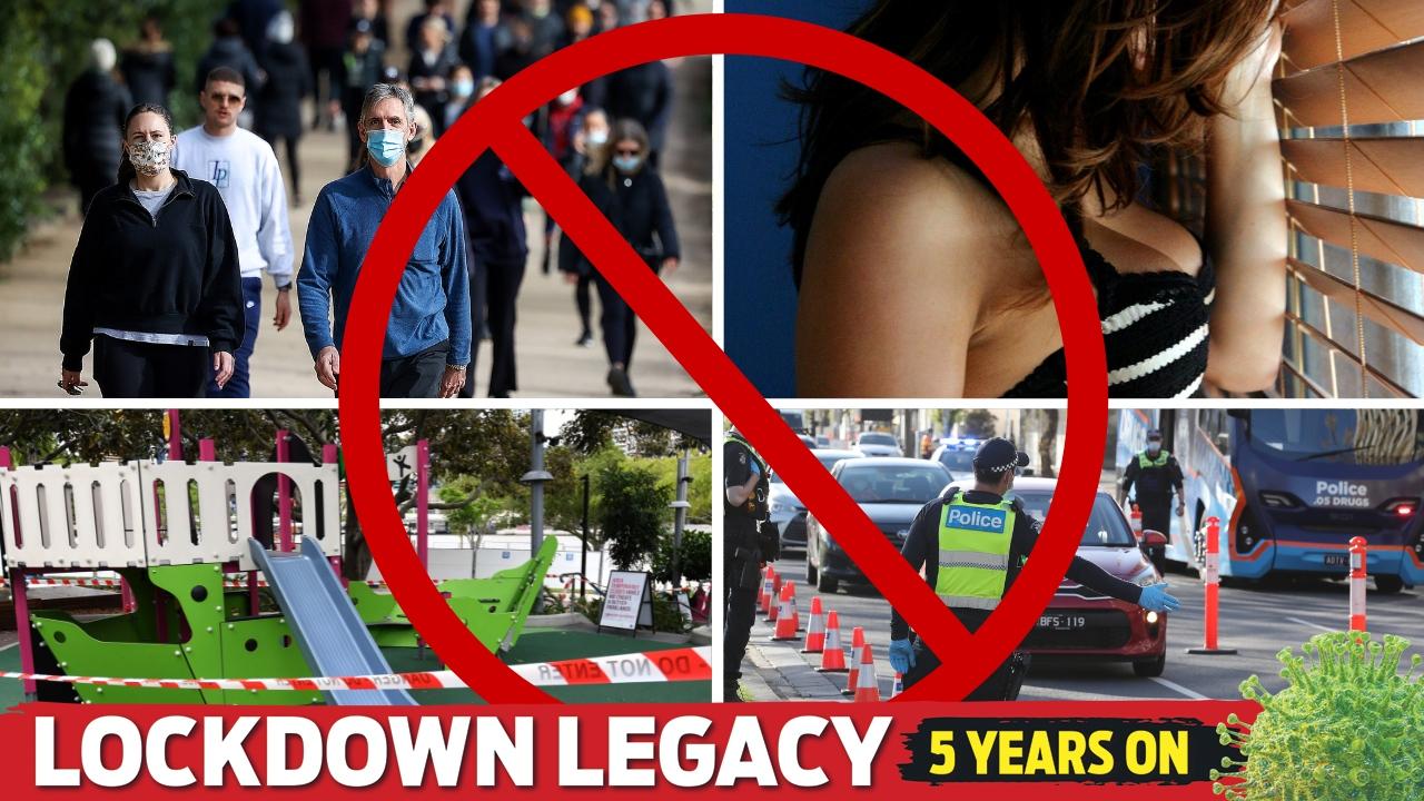
The most brutal and bizarre lockdown rules imposed on Melburnians
From the bonk ban, the bubble system, the 5km radius, the ‘ring of steel’ to the closure of playgrounds and outdoor basketball courts, these are some of the harshest restrictions on our freedoms.

Health boss who played key role in Victoria’s Covid response stands down
The Department of Health secretary who became a public figure making tough and controversial decisions during the pandemic will depart amid a leadership reshuffle.