Emergency alert issued as parts of Queensland battered by wild and extreme floods
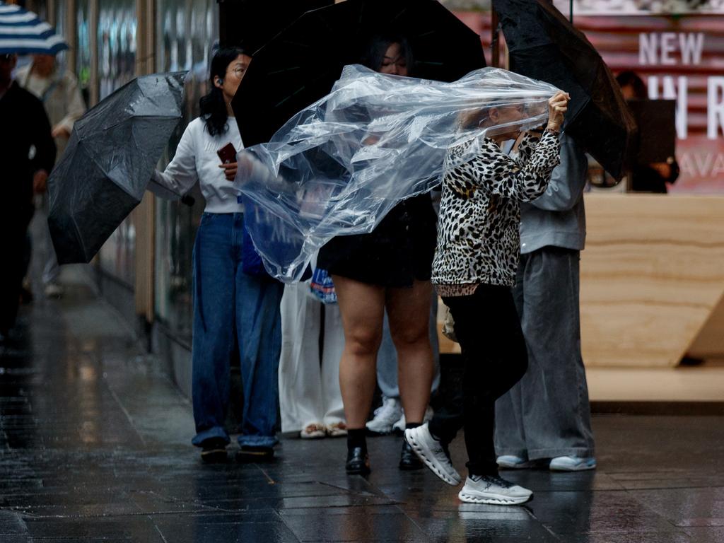
Residents in parts of Queensland have been urged to “prepare now” as the state is battered by rain and flash flooding, in what could be its wettest December in 14 years.
Residents in parts of Queensland have been issued with an emergency alert as the state battles a barrage of rain and flooding, marking one of the wettest Decembers in 14 years.
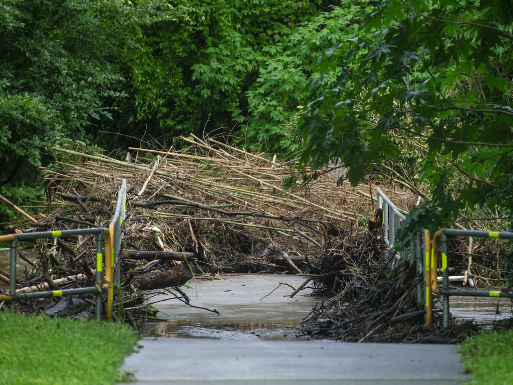
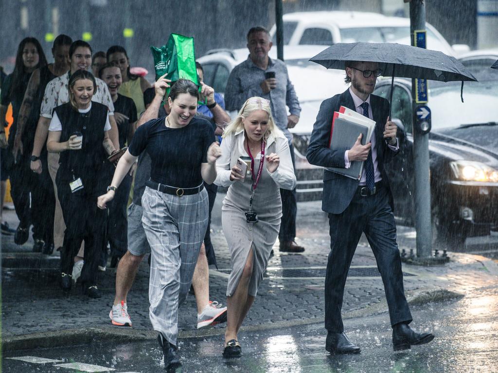
Parts of east and southeast Queensland were soaked with heavy rain overnight, turning roads into rivers and seeing people abandoning their cars as water engulfed the streets.
The deluge has continued into Thursday, with Queensland Police issuing an emergency alert for Jandowae in the Western Downs region just after 4am.
It warned residents in low lying areas to “prepare now” and “warn neighbours, secure belongings, and enact (their) emergency plan”.
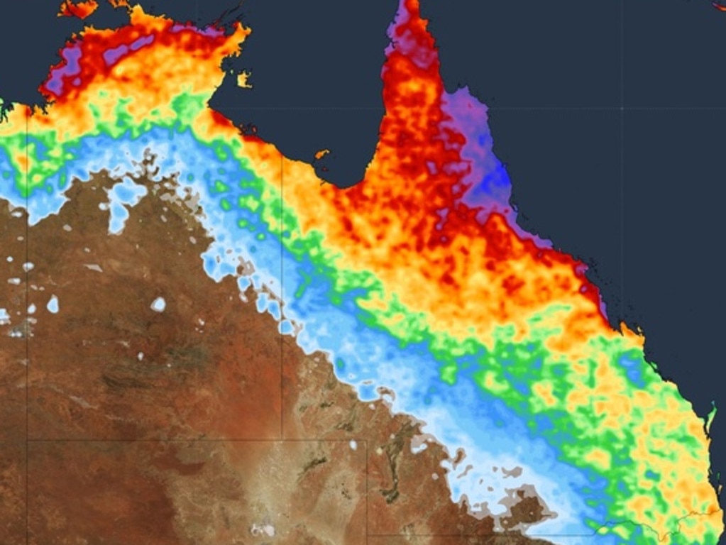
Residents in northern Queensland were also hit with heavy rainfall, impacting areas from Townsville to the Gold Coast, which is expected to continue for the rest of the week.
As of Thursday morning, Amberley near Ipswich had recorded 191mm of rain within 20 hours, followed by Kobble Creek near Dayboro with 130mm and 105mm at Mackay.
The Bureau of Meteorology has issued a major flood warning for the Logan River, with Maclean Bridge to possibly be impacted later Thursday afternoon due to heavy rain soaking parts of the Upper Logan River catchment earlier this week.
“Moderate flooding is occurring along the Logan River at Beaudesert, with an expected peak around the major flood level early Thursday morning,” the Bureau said in a statement.
The Bureau has also warned against going in the water or walking near surf-exposed areas amid dangerous conditions and choppy seas off the coasts of K’Gari and the Sunshine and Gold Coasts.
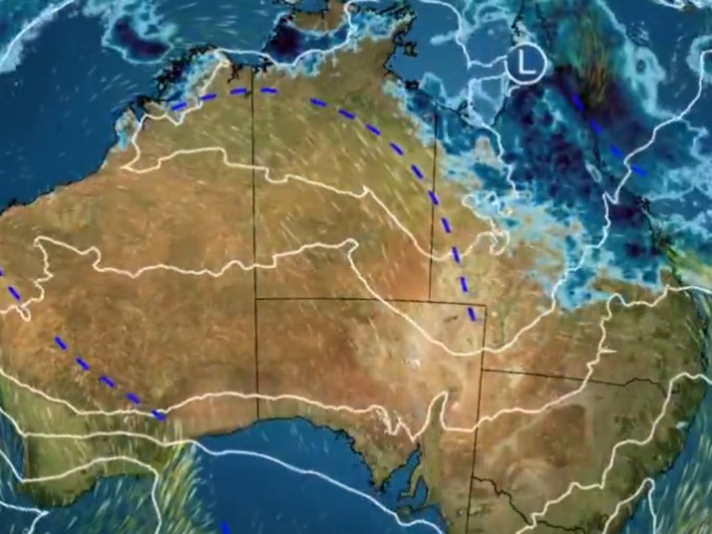
There’s no end to the rain just yet, either.
Looking ahead, while heavy rain persists around the east and southeast coast, a tropical low pressure system is forecast to start developing on Thursday evening and into Friday morning over the Cape York Peninsula, dragging in heavy rain and potential storms.
“At this stage, there’s a low chance of it becoming a tropical cyclone,” senior meteorologist Miriam Bradbury said.
Ms Bradbury said the low pressure system would bring the heaviest rain as it moves off the coast, with skies expected to clear by the weekend.
Residents are warned the system could move slowly, meaning heavier rainfalls and an ongoing risk of dangerous flash flooding.
It is likely to be a different story in battered southeast Queensland, according to senior meteorologist Angus Hines, who said brighter days could arrive by the weekend.
“(On Thursday) over southeast Queensland, we’ll see much more dry weather developing with still some morning rainfall that should be cleared up by Thursday lunchtime,” he said.
“From Friday and into the weekend there will be a much longer scale of bright and sunny weather.”
Capital city forecast
For the rest of Australia, conditions are looking quite mild and sunny.
It is expected to be warm and partly cloudy in Brisbane on Thursday, with a maximum temperature of 28C and southerly winds reaching speeds of 35km/h.
Cloudy skies and a slight chance of morning showers are forecast for Sydney, which is expected to reach a top of 25C.
Melbourne residents can anticipate a sunny day with a top of 29C, and those in Adelaide an even warmer day with a maximum of 34C.
It is likely to be a smokey morning for residents in Perth before a bright and sunny afternoon and a top of 31C.
There’s a high chance of showers in Darwin on Thursday, with the mercury expected to reach 34C with partly cloudy skies and the chance of a thunderstorm.
It is looking to be a bright and sunny day in Canberra with a top of 28C and light winds, and a cooler maximum of 21C in Hobart.
Originally published as Emergency alert issued as parts of Queensland battered by wild and extreme floods


