What’s the weather forecast for Christmas Day? Expert Darren Ray gives his prediction
It’s the question that can make or break the festive season – what is the weather going to be like this Christmas Day? Our weather watcher gives his prediction.
SA News
Don't miss out on the headlines from SA News. Followed categories will be added to My News.
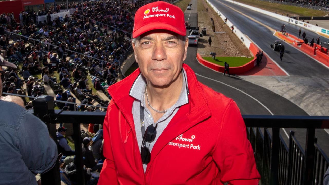
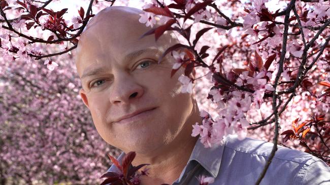
The forecast this Christmas is for prawns on the barbie, says The Advertiser’s weather watcher Darren Ray, who’s predicting a balmy day in the low to mid-30s for December 25.
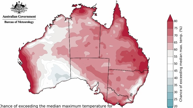
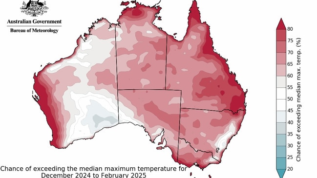
The respected meteorologist – who delivers seasonal forecasts for advertiser.com.au and The Advertiser – expects hot turkey roasts to be off the menu on Christmas Day, with temperatures in Adelaide surging past the long-term average of 27C.
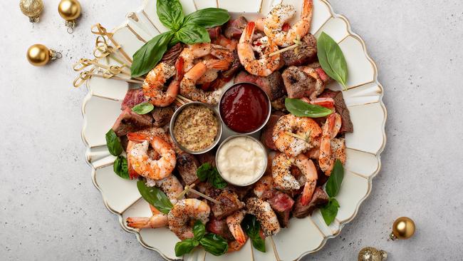
“At this stage, because of where it looks like the tropical activity will be placed, we’re going to probably have a hotter second half of December … more of a prawn on the barbie-type Christmas rather than a hot lunch,” says Mr Ray, a former Bureau of Meteorology expert who now works for the Department of Environment and Water.
“My pick is for temperatures in the low to mid-30s and it does look like that could continue into a hotter January.”
But before Father Christmas comes our way, summer is getting off to a slightly soggy and humid start.
Mr Ray says the first two weeks of December will bring showers of rain as the negative Indian Ocean Dipole – a pattern of tropical Indian Ocean climate variability important to South Australia in spring and early summer – affects the state’s weather pattern.
Conditions will get drier and warmer for the second half of December – with the possibility of rain between Christmas and New Year’s Eve – before heating up and drying off in January.
But the hot spell won’t last, with mid to late-February promising milder, wetter days.
“It will be warmer than average but it doesn’t look like there’ll be extended hot or extreme weather this summer,” says Mr Ray.
“We will see lots of high 20s, low 30s days. Summer typically sees bursts of tropical rainfall on a four to six-week time frame – the first half of December and the second half of February look likely to be more active for this.”
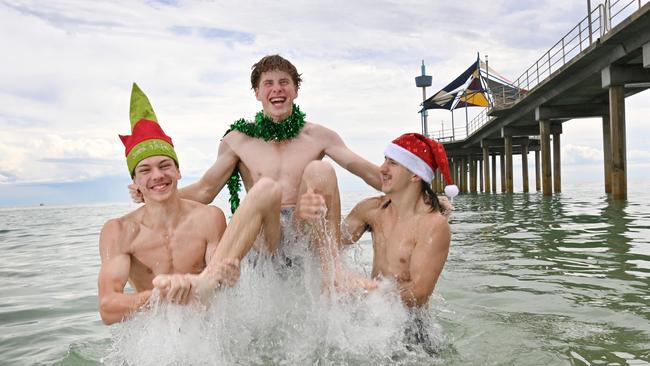
It’s good news for Jack Gaborit, who will head to the beach after Christmas lunch at his mum’s Hove home.
“I like a hot Christmas,” the 17-year-old said.
Mr Ray’s prediction at the end of August of a warm spring with late bursts of tropical rain proved accurate, with about 5mm falling in Adelaide over the past few days of November. Between 20mm and 29mm fell in the Adelaide Hills, which was hardest hit by this week’s rains.
“It has been a very variable year – very dry through February to May, with rainfall tending below average through winter and spring,” Mr Ray said.
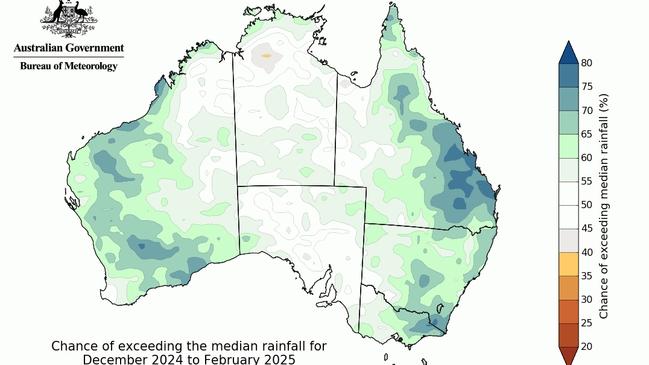
“The total for this year looks like coming in at about 350mm for Adelaide – probably the driest year for Adelaide since 2015.
“It has been a difficult growing season for cropping farmers with growing season rainfall across South Australia’s agricultural regions typically half the average. Pastoral regions of the state have picked up some more patchy tropical rainfall and have seen more average or above average rainfall for the year.”
Mr Ray said a weak La Nina climate influence from the Pacific Ocean was starting to make conditions more tropical. The BOM’s official climate outlook is on La Nina watch.
“There’ll be an increased number of days this summer with cloudy, unsettled, humid conditions, the kind of conditions that can cause disease issues for grapegrowers,” Mr Ray said.
“With the burst of tropical activity and patchy, thundery rain around at the moment, I think there are probably some nervous cherry growers in the Adelaide Hills looking to avoid big rainfall that would split cherries ahead of the harvest for Christmas.”
More Coverage
Originally published as What’s the weather forecast for Christmas Day? Expert Darren Ray gives his prediction


