
South East Queensland on flood watch as 250mm deluge threatens
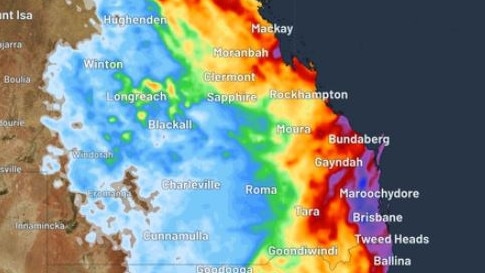
South East Queensland is bracing for a four-day deluge with 250mm falls possible, triggering a flood watch to be issued.

QLD News
Don't miss out on the headlines from QLD News. Followed categories will be added to My News.
South East Queensland is on flood watch ahead of a potential four-day deluge that could see rainfall totals up to 250mm.
A low pressure trough has developed in the Coral Sea and will move closer to the Queensland coast early next week, triggering heavy rainfall.
The Bureau of Meteorology has issued a flood watch for catchments across the Brisbane, Sunshine Coast and Gold Coast regions.
Weatherzone’s Ashleigh Madden said there was considerable uncertainty about where and when the heaviest rain would fall.
“Some computer models suggest parts of South East Queensland, including Brisbane and northeast NSW will be the hardest hit, while another suggests the heaviest falls will remain offshore.

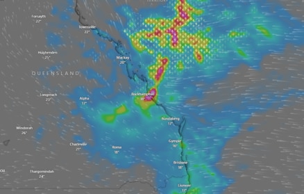
Shane Kennedy, senior meteorologist at the Bureau of Meteorology, said rain was likely to start falling from Monday before intensifying later in the week.
“From Monday, that upper trough system will start tracking south down the coast, and so it’ll bring that region of rain and that potential moderate to locally heavy rainfall down the coast,” he said.
“It could be certainly a few big days of rainfall, or winter rainfall, for eastern and central Queensland, starting on Monday to Wednesday.”
Mr Kennedy said while the catchments included in the flood watch were relatively dry, the Bureau was not ruling out the potential for river rises and flash flooding.
“Catchments are pretty dry, but there is a potential we could see successive days of some moderate to locally heavy rainfall in the area, and so that might be enough to see a few isolated river rises,” he said.
“It may just be some isolated minor flooding, but we expect that we could see some flash flooding potentially.”
Mr Kennedy agreed there was significant uncertainty around the exact timing and location of the heaviest rainfall.
“Exactly where we’ll the heaviest rainfall is still too uncertain at this stage, as we’re getting different spots being picked by different models, so that’s why there’s pretty broad spread in the rainfall numbers,” he said.
The Bureau is warning that the heavy rain may disrupt transport routes and could lead to the isolation of some communities.
Residents in the affected areas are urged to stay informed, monitor weather updates, and prepare for potential flooding.
Originally published as South East Queensland on flood watch as 250mm deluge threatens
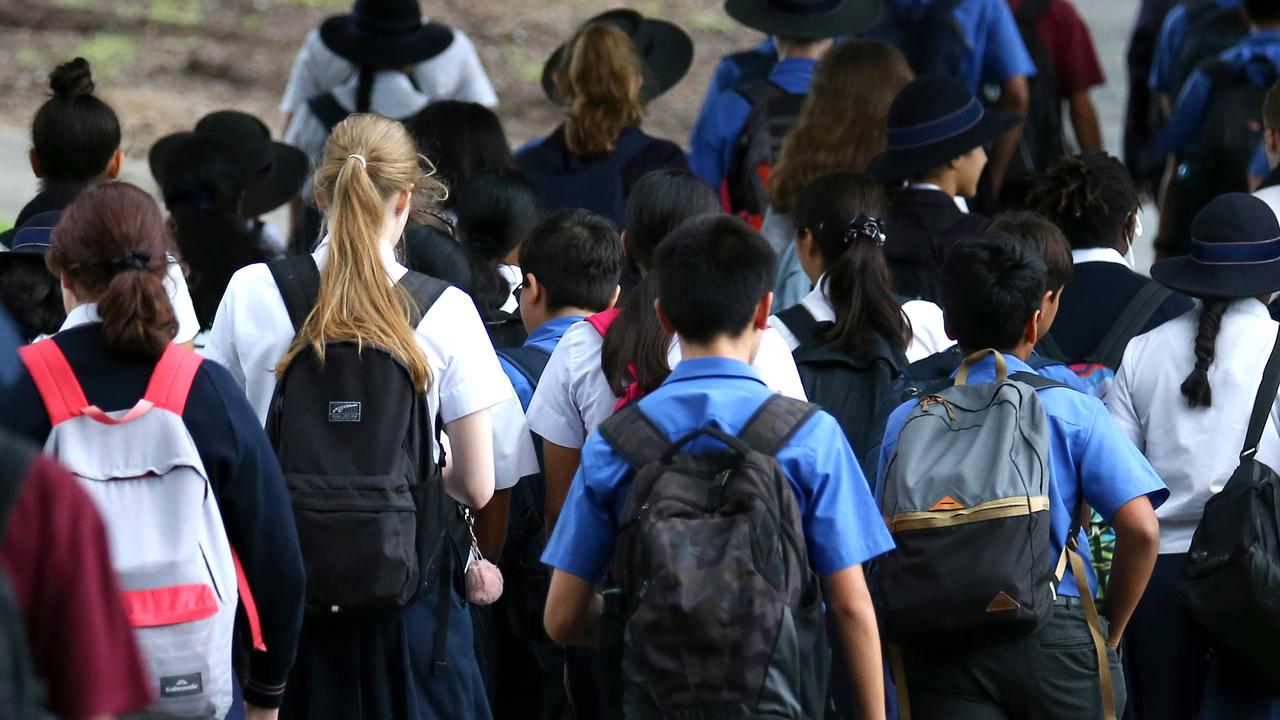
‘Debacle’: Firestorm over proposed 2032 Qld school calendar change
Should the Queensland school calendar change to suit the 2032 Olympic Games? HAVE YOUR SAY

Vote now: What do you want to ask the leaders?
Steven Miles and David Crisafulli are being put under the pump by Courier Mail subscribers this election. Help decide which question they will be grilled over.