Qld weather: Warnings for volatile storm, flash flooding threat for South East Queensland
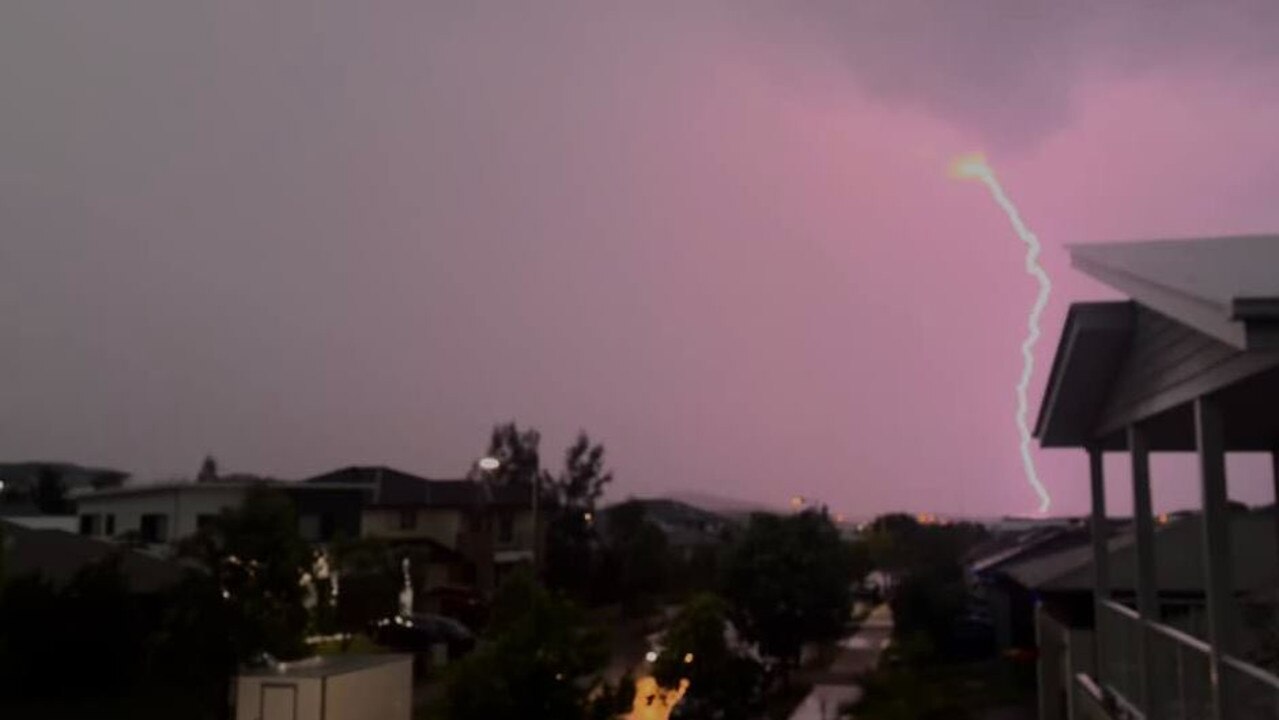
About 1700 South East Qld homes and businesses remain without power this morning following last night’s “ferocious” supercells which recorded more than 215,000 lightning strikes.
QLD News
Don't miss out on the headlines from QLD News. Followed categories will be added to My News.
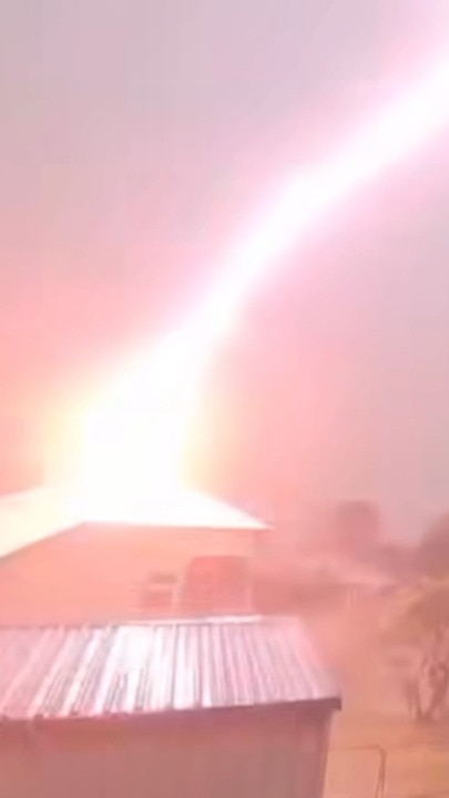
More than 215,000 lightning strikes were recorded in a series of “ferocious” storms last night, which left about 1700 homes and businesses without power this morning.
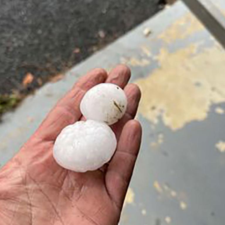
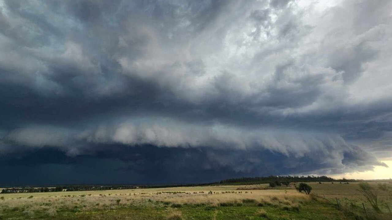
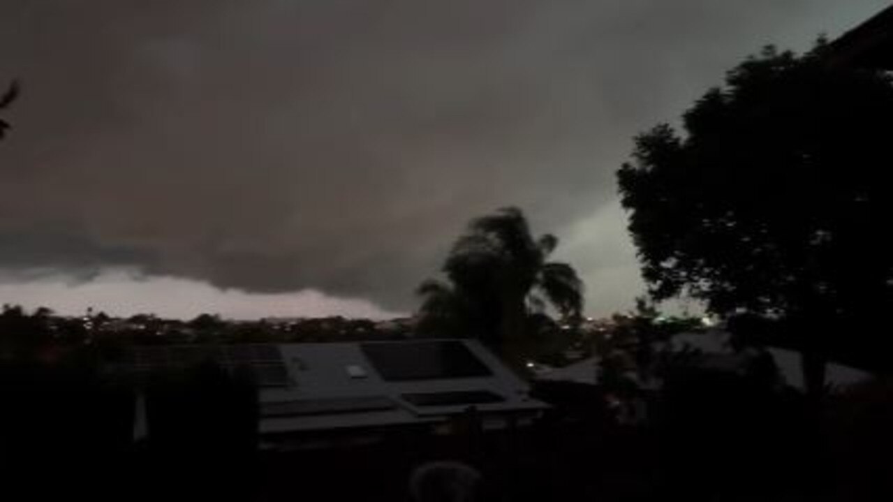
Supercell storms smashed Brisbane and the southeast, lashing the regions with golf ball-size hail, damaging winds and torrential rain.
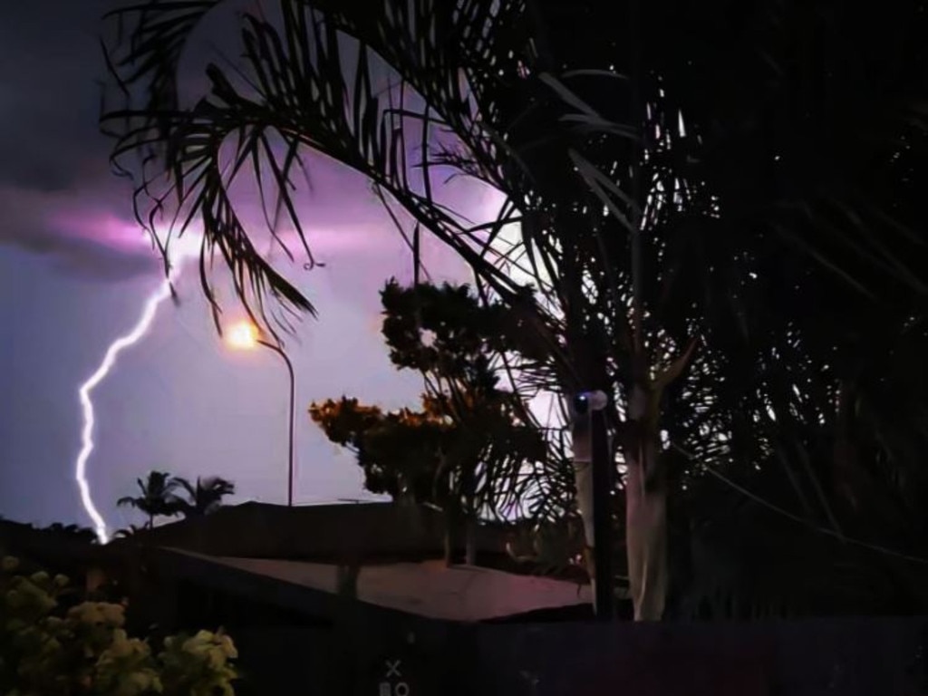
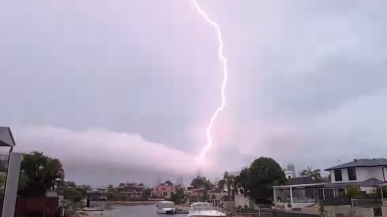
Energex spokesman Danny Donald said there had been 215,000 lightning strikes in total and that crews were out early to assess power outages.
“Some Energex customers in Gympie, Sunshine Coast, Macgregor, Logan, Lockyer Valley and Scenic Rim are without power this morning,” Mr Donald said.
“We expect to have power back by this morning.
Mr Donald said lightning had been “ferocious”.
“Since September there have been double the amount of lightning strikes this year compared to last year,” Mr Donald said.
Mr Donald said planned outages for maintenance work at MacLeay Island and Victoria Point on Thursday had been postponed until further notice.
Miva, northwest of Gympie, recorded the highest rainfall total overnight with 60mm.
The State Emergency Service (SES) responded to 26 calls for assistance, however, no one was seriously injured.
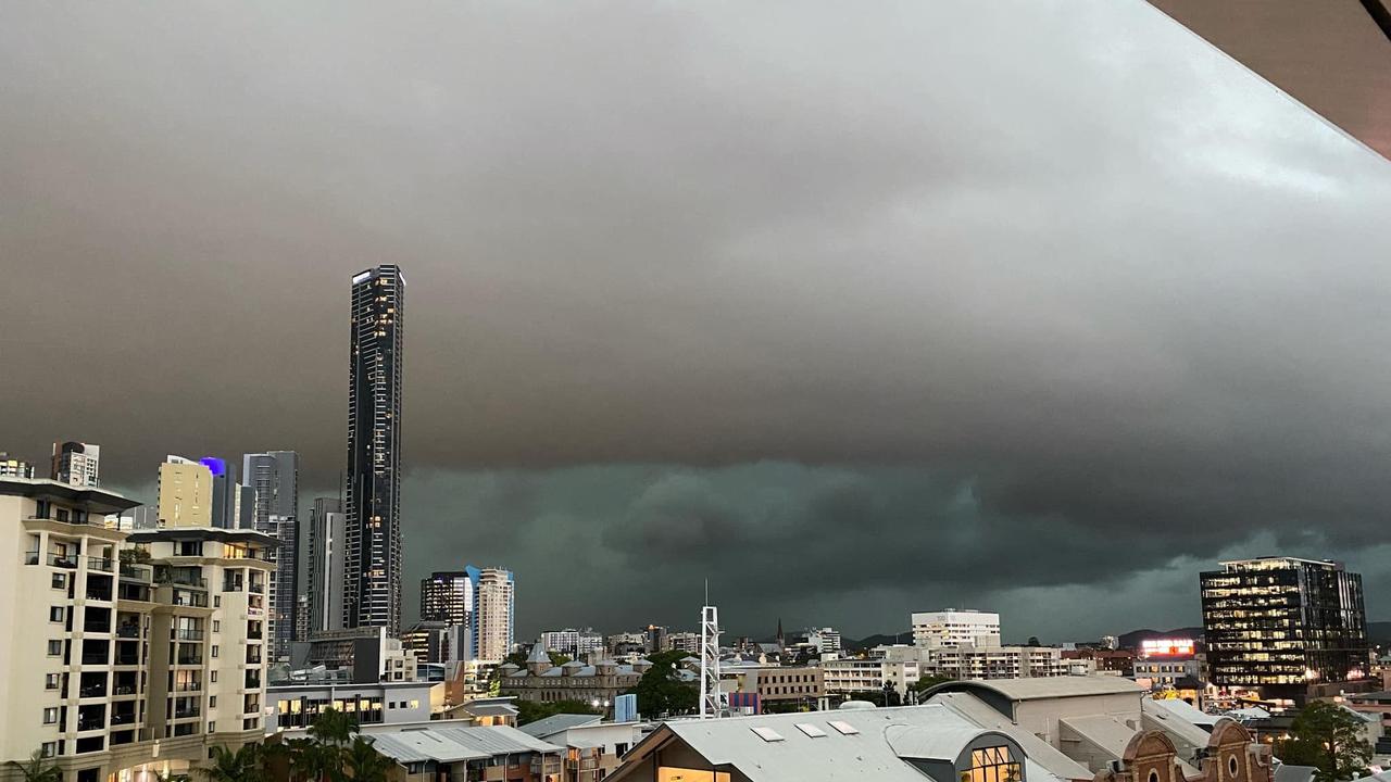
Storms that hit the region had all but died down by 8.30pm, but not before five hours of drama that began west of the Darling Downs and slowly moved towards the coast.
As the storms approached the most populated parts of the state in the late afternoon, the Bureau of Meteorology issued an alert at 5.45pm for people in the Brisbane Ipswich, Logan, Redland City, Moreton Bay and Somerset council areas.
The resulting storm didn’t disappoint, lashing the region with damaging winds, torrential rain and thunder and lightning.
Police released messaging warning motorists in the Slacks Creek area to avoid driving through flood waters after the storm hit, while Energex recorded more than 105,000 lightning strikes as of 7pm and said combined with the wind had impacted the electricity network.
By 8.30pm, there were approximately 15,000 residents without power across South East Queensland, mainly throughout Brisbane’s southern suburbs and Logan.
Some areas received close to 60mm as the storm cells moved from the Darling Downs and Scenic Rim towards the southeast.
Coulson Crossing, near Boonah, received 55mm in the time since 9am after it was slammed by two severe storms on Wednesday afternoon.
Lake Manchester just west of Brisbane copped 45mm, Eight Mile Plains received 40mm, Rochedale South 37mm and 30mm fell at Alderley.
Many areas throughout Brisbane and Logan saw 20mm to 40mm fall.
At 8.06pm, as the storms began to die out, a new warning was issued for people in Gympie, Somerset, Sunshine Coast and Noosa council areas.
“A line of thunderstorms is moving northwards over the Sunshine Coast and south Burnett, however there has been no recent indications of severe storms within this line,” the warning said.
“The redevelopment of severe thunderstorms remains possible. The situation is being closely monitored and further detailed warnings will be issued as necessary.”
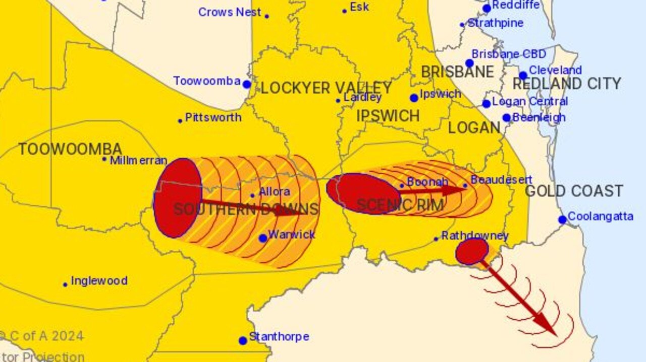
Earlier at 2.44pm, three very dangerous thunderstorms smashed the southern Darling Downs and Scenic Rim.
The Bureau says a trough is extending over southeast inland Queensland with a warm, humid and very unstable air mass on its eastern side.
“Scattered thunderstorms are expected to develop east of this main trough during the afternoon and evening, with secondary troughs extending towards the coast also expected to be a focus of development,” the Bureau warns.
“Strong winds in the upper atmosphere ahead of an approaching upper level trough will promote organised severe thunderstorms over the southeast of Queensland eventually developing into lines of storms in the late afternoon and evening.”
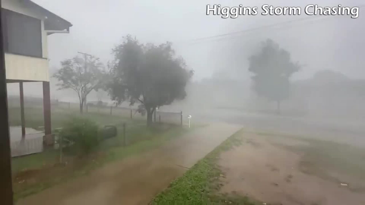
It comes after Higgins Storm Chasing earlier today described the weather pattern as “volatile” and warned it could unleash by this afternoon with “everyone” in the southeast in the firing line.
“A volatile weather pattern is expected for the next two days with extremely high instability and moisture levels leading to a high end storm outbreak,” Higgins posted to social media. “Strong long track severe cells and supercells are possible starting inland then reaching the coast.
“The strongest ones could contain tennis-ball sized hail and destructive winds that may cause damage to homes, property and infrastructure plus microbursts with extremely heavy rain leading to rapid flash flooding.”
The Bureau of Meteorology said the system, moving from The Gulf Country to the southeast, could cause severe thunderstorms late this afternoon.
Brisbane, Sunshine Coast and the Gold Coast could be hit by potentially dangerous storms with a risk of large hail, intense rainfall and destructive winds.
Brisbane could see up to 25mm of rain and Ipswich could receive up to 30mm this afternoon.
The Gold Coast region could also cop 20mm of rainfall.
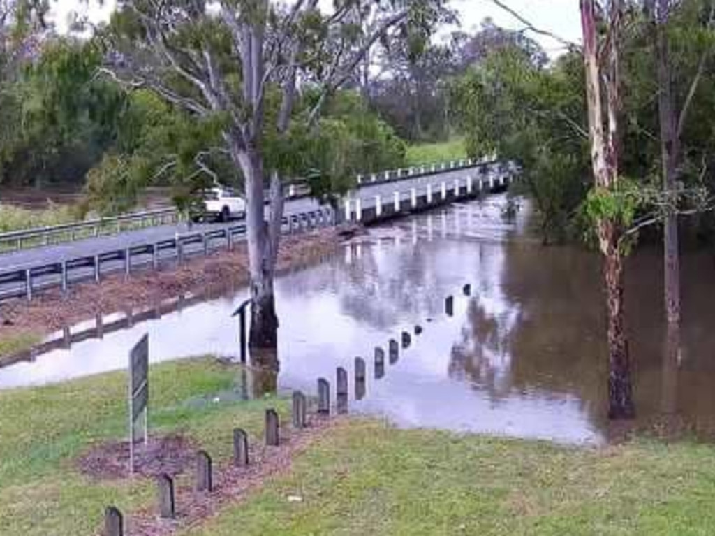
Heavy rain since Monday caused the Bureau to issue a minor flood warning for both the Logan and Albert Rivers yesterday with the warnings still in place.
A moderate flood warning had also been issued for the Bremer River and a minor flood warning for Warrill Creek.
The Bureau’s Christie Johnson said there was a small risk of “potentially very dangerous” thunderstorms for the southeast.
“We have got a trough that’s coming lying through from the northwest of the state right through to the southeast,” she said.
“There’s a low-pressure system that’s sitting in the Tasman connecting back to the trough over inland paths. So it is sort of a combination, but there’s also an upper-level sort of weather system that’s giving extra support to those surface troughs.”
Ms Johnson encouraged residents to keep an eye out for any storm warnings this afternoon.
“Thunderstorm warnings, by definition, are very short-term. We issue them as we see the storms developing or as we see them becoming severe.
“Be aware that there is the potential today – keep an eye on the radar and keep an eye out for any warnings, and set up notifications ideally on the phone to get those warnings.”
Originally published as Qld weather: Warnings for volatile storm, flash flooding threat for South East Queensland


