Qld weather: Slow-moving supercell dumps 150mm, unleashes chaos in South Burnett
Flash flooding has made for a spectacular end to 2024, after drivers and campers had to be rescued from raging waters.
QLD News
Don't miss out on the headlines from QLD News. Followed categories will be added to My News.
Wild weather has fired up the final hours of 2024 after drivers and campers had to be rescued from flash flooding amid chaos across the state on Monday afternoon and overnight.
The Queensland Fire Department was called to at least three floodwater rescues overnight, including three campers found stranded in floodwater at Toogoom on the Fraser Coast early on Tuesday morning.
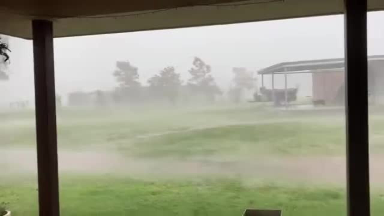
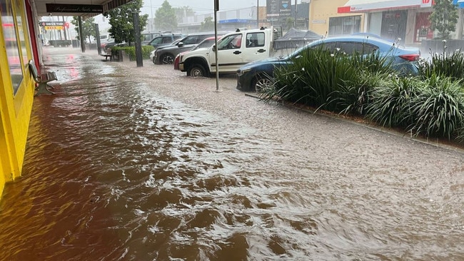
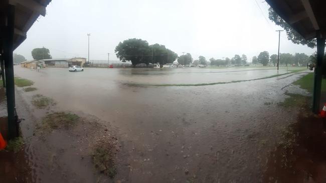
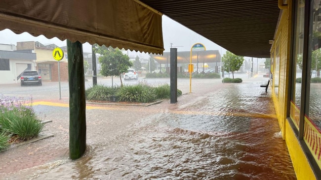
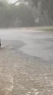
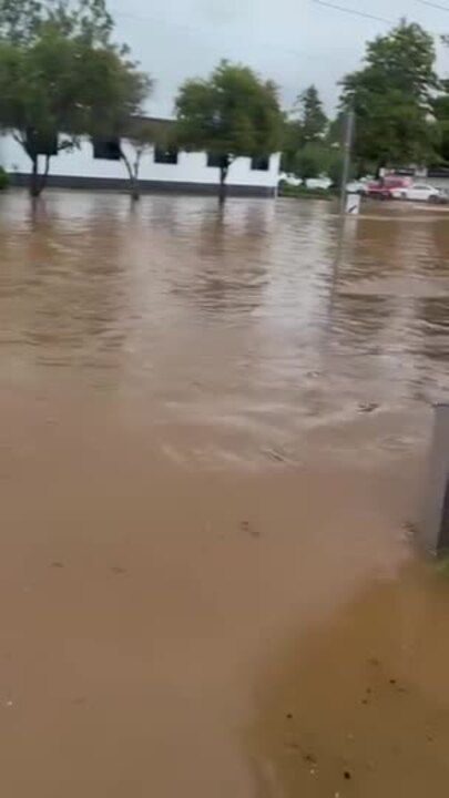
It came as streets in Kingaroy were inundated on Monday afternoon as the town recorded its highest ever December rainfall, and roads on the Western Downs were cut, before storms moved north.
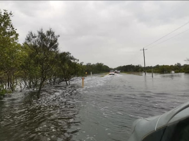
Torbanlea experienced 180mm in the past 24 hours and Hervey Bay has had falls of 119.2mm. Tin Can Bay recorded 101mm, Gayndah 72.4mm and Maryborough 59mm.
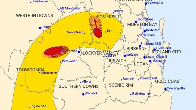
The weather bureau said 62mm of rain was recorded at the Warrego Highway west of Ipswich in the 30 minutes to 4:09pm and 57mm fell at Glenore Grove in the hour to 4:39pm, while 44mm was recorded in the 30 minutes to 3.41pm at McGarrigal Road near Laidley.
Emergency services and council crews have been hard at work with restoration activities after Kingaroy was hit with a one-in-100 year storm event on Monday.
South Burnett Local Disaster Management Group is in a Stand Up emergency response level as it continues to monitor and direct the clean up of damage from the storms.
In an online post the Regional Council said “residents should not expect to see warning signs for every crossing given the widespread impact of rainfall”.
A QFD spokeswoman said rescue teams had to create two creek crossings to help the stranded campers to safety just before 5am on Tuesday.
Another driver was rescued after driving through flood water on Kokotungo Wandoo Road, inland of Gladstone.
The driver climbed out of their car and into a tree, before they were rescued by swift water rescue crews, at 3.36am, the QFD spokeswoman said.
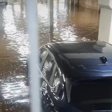
Further north, two cars were found stranded in floodwaters, inland from Yeppoon.
The Queensland Fire Department deployed swiftwater firefighters and urban truck to a car stranded on Fitzroy Development Rd at 4.52.
The car was reported to be 30m from dry land and the SES is working to rescue the driver, who climbed on to the top of the vehicle.
The driver was rescued about 7.25am and has been taken to Dysart hospital in a stable condition.
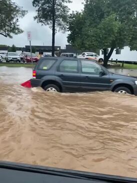
Crews also had to rescue a car in floodwater at Taabinga, near Kingaroy, yesterday afternoon.
An emergency alert was issued for residents of the town to “watch and act” as streets were inundated by flash flooding.
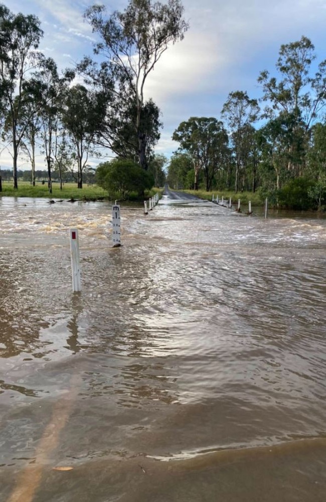
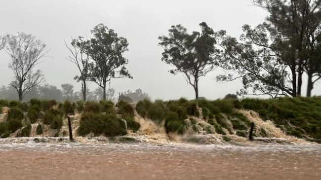
Parts of the Western Downs also experienced flash flooding, with close to one metre of water over some roads in the region.
Rainfall figures show that Dalby copped 75.2mm in the downpours, with 48.4mm at Wellcamp Airport and 47.4mm at Toowoomba.
Daniel Hayes from the Bureau of Meteorology said the surface trough had “slipped further west through parts of the towns and inland parts of the Burnett area”.
There is a minor flood warning for the Burrum and Chernwell Rivers and Mr Hayes said if heavy rainfall continues there could be further flash flooding.
There will continue to be shower activity on the South Coast in the coming days although the heavy rain conditions are set to travel north towards the Central Coast.
While cloudy weather has eased some of the recent heatwave conditions in Queensland, the northwest and Central-west continue to record above average temperatures.
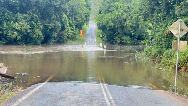
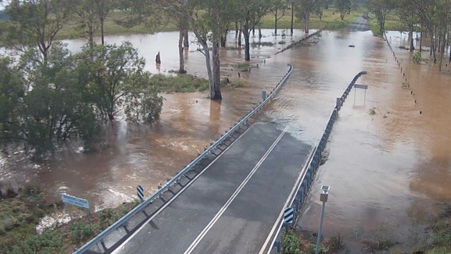
Multiple roads remain closed, with the South Burnett Regional Council prioritising state-controlled roads before focusing on council roads.
“Bridges cannot be reopened until bridge inspections can be carried out by certified bridge inspectors,” the statement read.
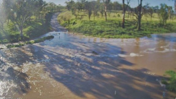
“Please be mindful, this can take time. We are seeking for the communities patience and understanding while we navigate and inspect our road network.”
There were 17 roads closed in the region last night, and many remain cut off.
A minor flood warning has been issued for Stuart and Boyne rivers.
A flood peak is expected for Tuesday afternoon, as further showers and thunderstorms are possible across the area.
The Bureau of Meteorology reported the Boyne River to be 2.5m above the minor flooding level with the water continuing to rise.
This area of the river is expected to reach 5m above minor flood level by this evening and a second flood peak is possible in the coming days as upstream floodwaters travel.
Chinchilla Wondai road in Durong and Proston Boondooma road were closed early this morning due to the flooded rivers.
Nearby residents were reminded to avoid potential hazards downstream such as fast flowing or deep water near waterways and floodplains.
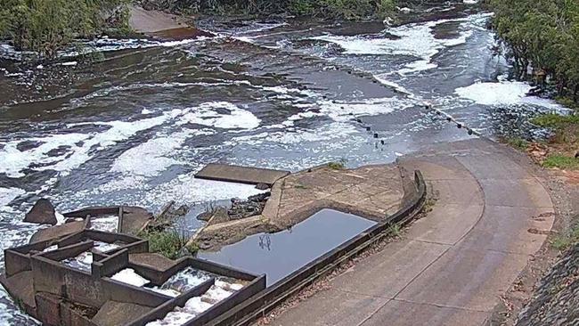
Seqwater said on Tuesday that flood releases at Wivenhoe and Somerset dams were not required, a day after issuing a warning they were possible.
A spokesman also said the Flood Operations Centre was no longer mobilised.
But he also said operational releases continued for North Pine Dam, and a number of ungated dams were spilling excess water due to recent rain, including Cedar Pocket Dam, Ewen Maddock Dam, Little Nerang Dam, Maroon Dam, Sideling Creek Dam and Wappa Dam.
“Flood releases are when we make controlled, gated releases of water that is being stored over the drinking water supply level,” he said.
“These releases are strictly regulated and managed by senior flood engineers, helping to manage water levels and make room for further inflows.’
“The Flood Operations Centre is at Alert closely monitoring dam levels, rainfall and inflows into the dams on a 24/7 basis.
“Several ungated dams are spilling excess water. Please stay away from any fast flowing or deep water near waterways downstream of the dams.”
It comes after massive downpours in the Sunshine Coast region early on Monday morning, with 75mm falling in the hour to 5.15am near Caloundra and 74mm at the same time at Bells Creek. Earlier in the morning, Caboolture copped 72mm in the hour to 1.15am.
And showers could still be on the cards for many regions on New Year’s Eve.
The Bureau of Meteorology warned that the Maranoa, Darling Downs, Highlands, and Coalfields were at risk of thunderstorms and heavy rainfall on New Year’s Eve.
“In terms of dangerous weather or flash flooding, that will be a risk for the Darling Downs and Maranoa regions,” she said.
The Bureau’s Morgan Pumpa said there was only a chance of showers expected for the Brisbane region on Tuesday, but high humidity was still an issue.
“There is a dewpoint temperature of 21 degrees for Tuesday but we are getting down to 18 and 19 on Wednesday,” Ms Pumpa said.
“There is no risk of thunderstorms for Brisbane but we haven’t ruled out showers in the area for tomorrow.”
Originally published as Qld weather: Slow-moving supercell dumps 150mm, unleashes chaos in South Burnett

