
Cold front for Sydney, NSW: rain, snow for first week of winter
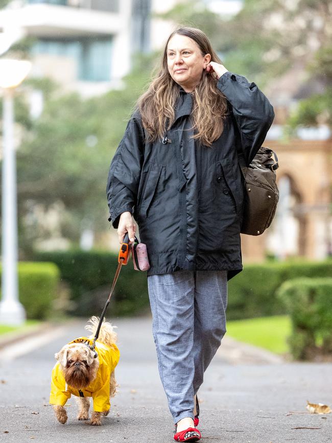
It’s just four days in but winter has well and truly arrived – Sydney woke to a cold, windy and wet morning on Wednesday. And there’s more to come.

NSW
Don't miss out on the headlines from NSW. Followed categories will be added to My News.
Winter has officially set in with a cloudy, wet and chilly start to Wednesday and a ‘feels like’ temperature about 5.3C for the morning commute and more cool, windy days to follow.
NSW’s snow fields, however, are welcoming the cold change.
Strong winds and up to 15mm rain are on the cards for Sydney and the mercury will tip at 15C, while Penrith and Richmond will be a touch warmer with a maximum temperature of 16C.
A hazardous surf warning is in place for much of the NSW east coast with the Bureau of Meteorology advising against surfing, rock fishing, and swimming due to rough seas along the Illawarra, Sydney, and Hunter coasts.
In alpine NSW the cold change will bring light snow to the high mountain areas on Wednesday.
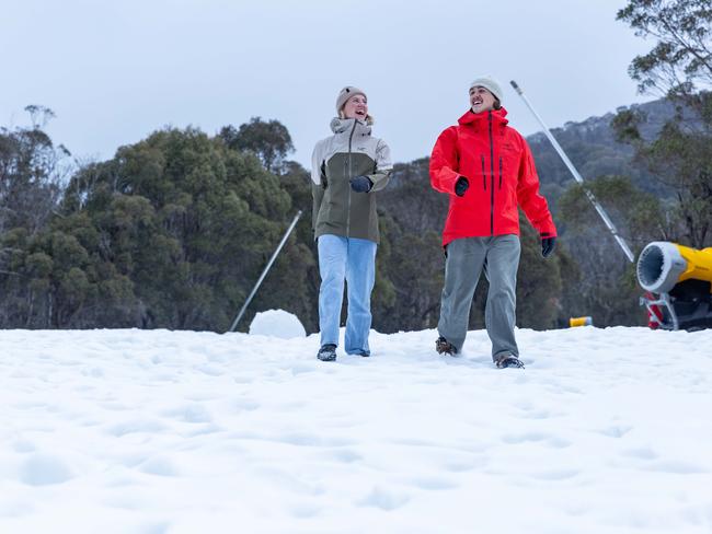
Late on Tuesday the Perisher Snow Stake measured 2cm fresh powder and Perisher and Thredbo made the most of the subzero overnight temperatures and turned on snow machines to prepare for the long weekend.
Weatherzone’s Ben Domensino said while the overnight temperatures would not deliver much snow these would “allow ski resorts to make plenty of artificial snow in the lead-up to the weekend”.
Minimum temperatures between -5C and -7C for Wednesday and Thursday are expected.
“Two cold fronts are set to sweep across southeastern Australia this weekend, one on Saturday and another on Sunday,” he said.
“This pair of fronts will bring plenty of cold air and should see snow falling in the mountains each day from Saturday to at least Tuesday.”
Modelling suggests fresh falls between 20cm and 50cm.
Do you have a story for The Daily Telegraph? Message 0481 056 618 or email tips@dailytelegraph.com.au
More Coverage


Originally published as Cold front for Sydney, NSW: rain, snow for first week of winter
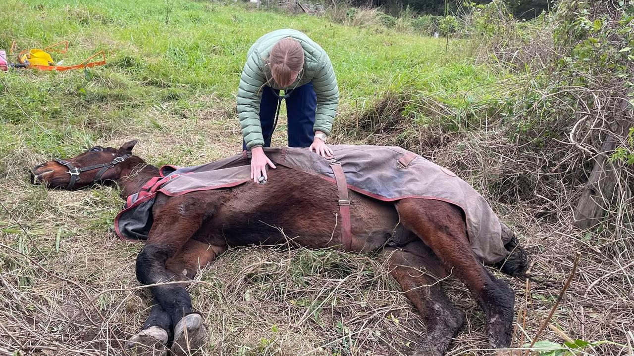
‘So happy’: Mud-stuck elderly horse saved by heroes
True blue Aussie ingenuity at its finest: Rescuers drove an excavator down a main street to upright an elderly ex-racehorse trapped in a flood affected, muddy paddock. See the video.
‘Millionaire’s enclave’: $2m problem with housing ‘solution’
This prized Sydney location has been flagged as a way to ease the city’s housing shortage. But local real estate agents have flagged one big concern.