
La Niña forecast to lead to wetter than average spring, drive down risk of bushfires on Gold Coast
A well-known weather phenomenon is expected to lead to heavy rain on the Gold Coast, with forecasters warning the chance of downpours is three times higher than normal.
Gold Coast
Don't miss out on the headlines from Gold Coast. Followed categories will be added to My News.
SPRING is tipped to be wetter and warmer than average, with the Gold Coast better positioned to weather the upcoming bushfire season.
But there is more risk of cyclones and flooding across southeast Queensland.
Bureau of Meteorology (BOM) forecaster Kimba Wong said spring was expected to be warmer than average overall with its associated rainfall and a wetter winter lowering the risk of another catastrophic fire season.
Last year, the Seaway recorded just 0.2mm of rain in November – the driest month on record.
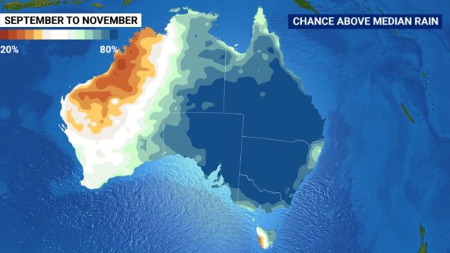
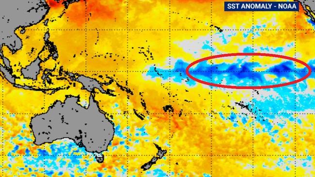
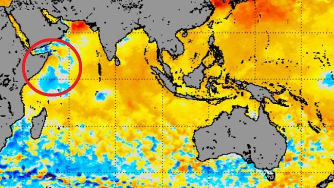
“Our spring outlook is quite heavily influenced by our La Niña alert. There’s a 70 per cent chance of it falling in spring, triple the normal likelihood,” Ms Wong said.
MORE NEWS
Schoolies: ‘This should send a shiver down the spine of any parent
Revealed: Soaring traffic levels in Gold Coast suburbs
Queensland records one new case as cluster grows
“The conditions generally give us wetter than average wet seasons and an earlier onset to the wet season as well, potentially more cyclones too.
“It’s putting us in a better position in terms of the fire season, much better than last year.”
BOM forecasts rainfall will exceed the average, particularly coming into summer.
Temperatures are due to surpass the September average, but should be mostly normal by October-November. The Coast’s September average is 20.2 degrees, October is 22.2 and November is 23.7.
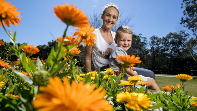
Wongawallan mum Bianca Stenton and son Nate, 3, were out and about enjoying the explosion of spring colour at Gold Coast Regional Botanic Gardens yesterday.
The pair were looking forward to the warmer weeks ahead.
“We’ve been loving the sunshine, I’m a big fan of the warmer weather. Summer girl, for sure,” she said. “It’s a great time to be outdoors.”

‘Locked in cages for 23 hours’: Worker’s shock claims about pet resort
A woman who worked for a short time at a 4.6 star Gold Coast pet resort has shared footage showing what she claims are poor conditions inside the centre. SEE THE PHOTOS AND VIDEO

Influencer’s warning: ‘If you don’t have this you have nothing’
A well-known fitness influencer has revealed what she has been through and how she made it out the other side.