Coomera Connector plans drive over top of wave pool site
Plans for a wave pool and skate park south of Brisbane have taken a dive after the state government unveiled proposals to build a ‘second M1’ to the Gold Coast.
Gold Coast
Don't miss out on the headlines from Gold Coast. Followed categories will be added to My News.
HANG ten. That’s what Logan City Council has been told to do with plans for a wave pool and skate park at Loganholme.
Tunnel Vision Wave Pools’ $10 million plans for an 18.4ha site off the Pacific Motorway took a dive this month after Transport and Main Roads Department unveiled a proposal to use the land for an M1 upgrade.
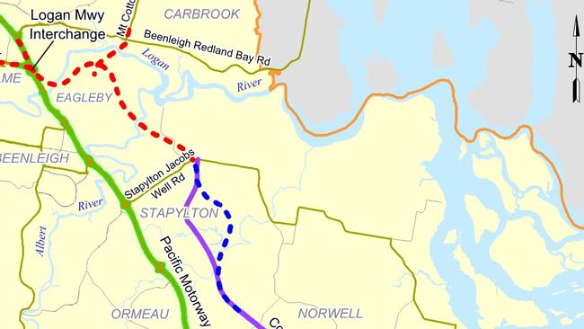
The council-owned block, sandwiched between the motorway and the Logan River, has been earmarked as the point where the M1 will link with the state’s proposed Coomera Connector road.
News of the Coomera Connector threw the wave park plans into jeopardy despite a 40-year time horizon to build the connector road to the Gold Coast. It is also likely to end a long-running court battle between the council and Alma Park Zoo over the site.
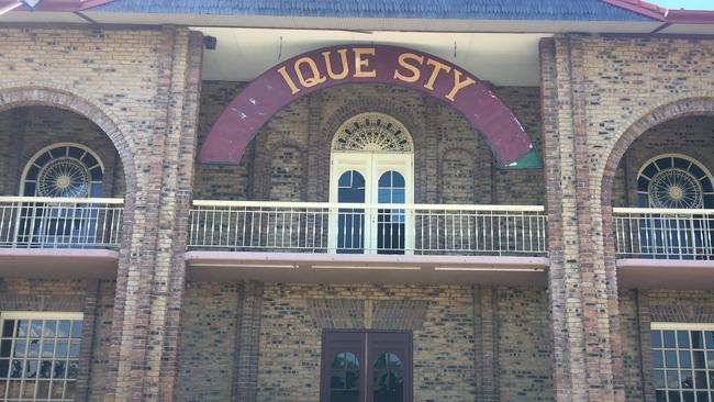
“This means that the proposed zoo site at Logan cannot go ahead,” Alma Park Zoo said. “We are now looking for a new zoo site between Brisbane and the Gold Coast, close to public transport and local amenities.”
Details of the exact route the Coomera Connector will take after crossing to the north side of the Albert River are yet to be finalised.
But the latest Transport and Main Roads map gives a general picture of the road heading north from the Gold Coast crossing Staplyton-Jacobs Well Rd near Alberton Rd before crossing the river near the northern end of Keogh Rd before hitting Eagleby.
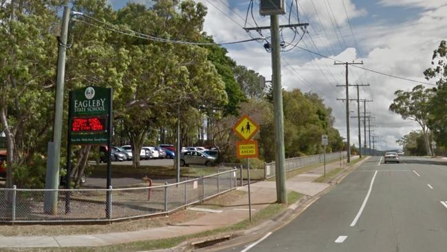
Eagleby State School principal Libby Jordan organised a petition in an attempt to prevent the road cutting through the suburb and up to 125 families losing their homes.

“Eagleby will be sandwiched between two freeways,” she said. “The new road will be a toll road and our beautiful community with cane fields, a river view and open spaces will be destroyed,” she said.
But Macalister MP Melissa McMahon said there was “absolutely no chance” the road would go through the school.
“To my knowledge, it doesn’t cross Fryar Rd at all. Fryar Rd may be extended to link up with Mt Cotton Rd if that option is taken, in which case consideration will be given to signalising Fryer and Eagleby Rd. But it will still be a few hundred metres from the school.”
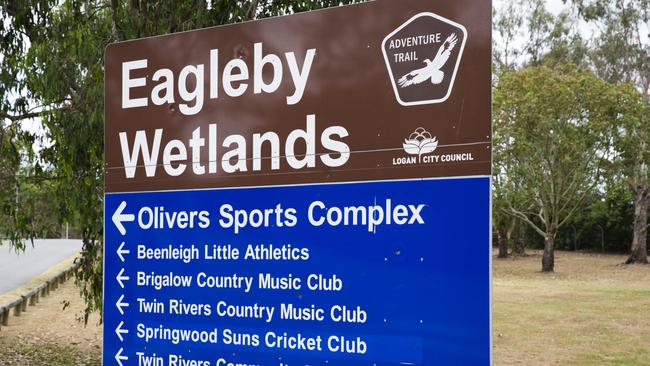
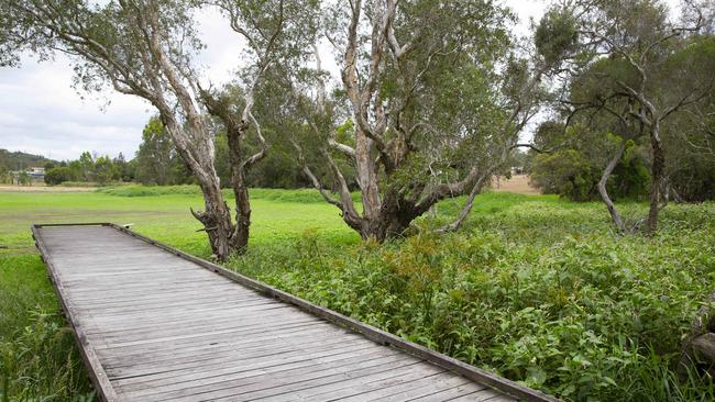
Plans for the six-lane connector also sparked concern with Eagleby indigenous groups, worried it would carve through Eagleby Wetlands, one of southeast Queensland’s most valuable and pristine wetlands.
Indigenous group Beenleigh Housing and Development Company board members met last week to discuss an action plan to oppose the road through Eagleby.
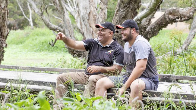
Company chief executive Will Davis said planners should not have designed a road to go through the heart of a community.
“The board was of one mind with this and believe it is disgusting that it runs through Eagleby and country,” he said.
“This could kill our community — why isn’t it running down the middle of Springwood or Tanah Merah?
“Eagleby is forgotten by the government at all levels — but that is about to change.”
Beenleigh indigenous man and Stronger Smarter Institute chief research officer John Davis said the second M1 road was “a push for greed and prime real estate”.
He said local indigenous groups including Eagleby’s indigenous Men’s Group, based at the wetlands, would oppose the plans and sign the school’s petition.
“Traditional owners need our own yarning and connecting space,” he said.
“It is terrible that the government is taking land off those with the highest needs.”
Logan City Council said the project was a state government initiative and told people to direct questions to the Transport and Main Roads Department.
However, late last week, council said Division 12 councillor Jennie Breene would discuss the project at a community meeting at the Eagleby Community Hall on Friday, March 15.
The state government said the road corridor would be wide enough for up to six traffic lanes and was expected to include bus lanes and paths for walking and cycling.
Only 36.5km of the corridor, from Staplyton-Jacobs Well Rd at Staplyton and Nerang-Broadbeach Road in Nerang, has been approved and gazetted.
The Eagleby section has been investigated but is yet to be gazetted.
It is proposed that the road will run north of Stapylton-Jacobs Well Road and potentially connect with the Logan Motorway and Pacific Motorway interchange.
The state government said all property owners directly impacted by the gazettal of the corridor were consulted and advised.
The state committed $5 million to undertake transport planning studies for the Loganholme to Nerang corridor in the Queensland Transport and Roads Investment Program 2018-19 to 2021-22.
Originally published as Coomera Connector plans drive over top of wave pool site


