Christmas Day weather forecast: Humid and possibility for storms
After a record-breaking wet and hot spring on the Gold Coast, a meteorologist has shared what we can expect on Christmas Day. Read the forecast here
Gold Coast
Don't miss out on the headlines from Gold Coast. Followed categories will be added to My News.
Never mind dreaming of a white Christmas — Gold Coasters still have nightmares of last year’s wet Christmas.
Which is why all we want for Christmas is sunshine.
But, according to the Bureau of Meteorology, we better be careful what we wish for.
While it’s still too early to perfectly predict conditions for December 25 — and, let’s face it, even next-day forecasts can get it wrong — BOM senior meteorologist Felim Hannify said after weeks of wet weather, the likelihood of rain was set to drop in the second half of the month.
Now that’s surely a relief given that Coolangatta recorded almost three times the average November rainfall last month, with 380mm versus the average of 115mm.
Meanwhile, just last weekend Upper Springbrook topped the state’s rainfall totals, with a whopping 266mm, while Upper Tallebudgera recorded 226mm and Little Nerang Dam recorded 216mm.
But don’t get too excited about this Christmas prediction.
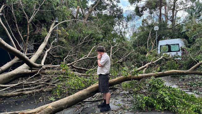
Because it looks like Santa might be bringing us a case of PTSD.
“We’re in a neutral climate driver phase, it’s neither La Niña nor El Nino, but sea temperatures are very warm which means there is plenty of fuel for storms, especially if there is no rainfall earlier on Christmas Day,” he said.
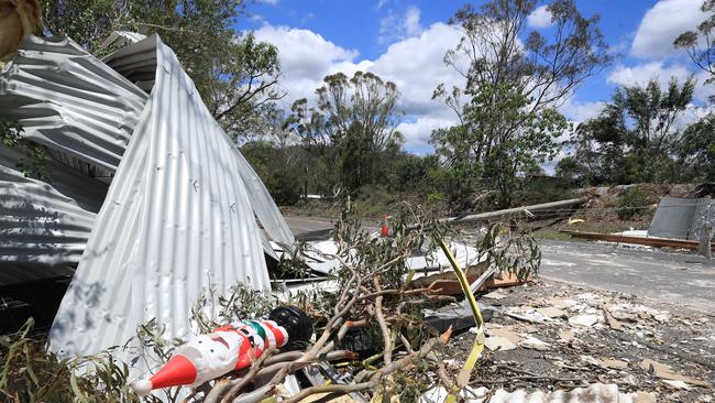
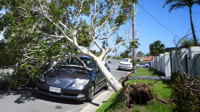
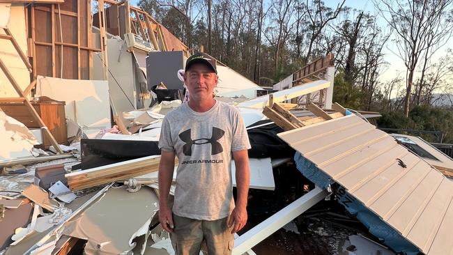
“I hate to say it but all the ingredients are there for the same sort of storms that hit last Christmas Day and New Year’s Eve.”
Mr Hannify said, while rain may not be on the menu in the lead-up to Christmas, the biggest concern would be heat and humidity.
He said minimum temperatures were set to be well above average, with a strong possibility of severe heatwaves.
“It’s likely we’ll be putting the tropic into subtropic,” he said.
“If our chances of rain reduce, that means the temperatures will be much hotter. If it’s not a case of a severe heatwave, it will be lower intensity but longer duration.
“The nights are going to be extra hot and humid, so it may not be the best sleep on the night before Christmas.”
Ugh. What’s happened to the Aussie Christmas dream of sunshine and surf … without the threat of being obliterated by lightning or falling foul of a flash flood?
Talking to some old surfer friends (as in, they are old), one fondly remembered the ghosts of Christmas past, back when weather was a bit less erratic.
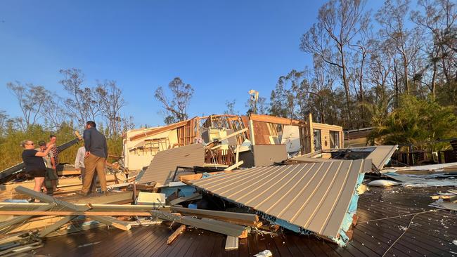
“We always had storms, but they were just a blip on the radar,” he said.
“As a surfer you always take notice of the weather and the pattern in summer used to be way more consistent. We’d have beautiful days that would start with a nice offshore/south westerly breeze then turn southerly/southeast.
“You’d always get a north-easterly sea breeze in the arvo and maybe a storm in the late afternoon. But you wouldn’t have whole suburbs wiped out, and then it would be crystal clear in the morning. What happened to that?”
While I made fun of this friend for being a nostalgic old Boomer, Mr Hannify said he was right.
Sadly, it’s that old Grinch called climate change who is to blame.
“Our patterns have definitely changed, he’s not imagining things,” he said.
“We get humidity in November that is like what you used to expect in January.
“Our rainfall tends to be much heavier too because we’ve warmed, there’s a lot more energy.
“Our seas are at least a degree above average, in some areas up to two degrees above average, and that really changes things.
“Warmer sea temperatures means warmer temperatures, means more humidity, more moisture, more rain events and that feeds back into the climate system and causes further warming. It’s a cycle.”
That cycle has been evident even before summer started, with Queensland recording its hottest spring on record, with the highest maximum temperatures above average across the state.
So Santa, just bring us an Arctic blast before it’s too late.
