
Brace for impact: Round two of ‘destructive’ thunderstorms to hit Gold Coast
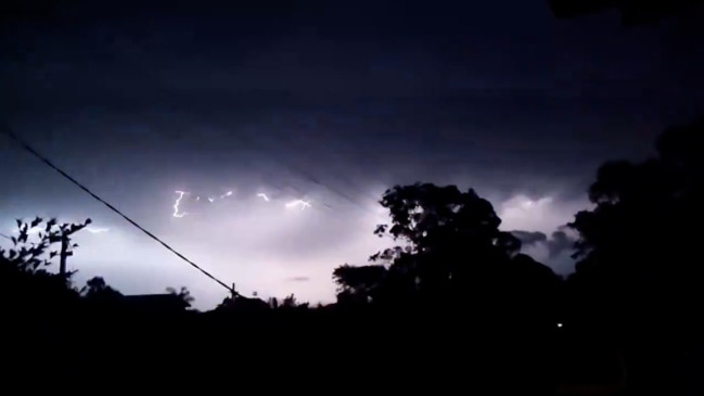
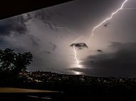
A severe thunderstorm warning has been issued for the Gold Coast, which is forecast to cop another destructive blast very similar to the fatal Christmas night storm.
Gold Coast
Don't miss out on the headlines from Gold Coast. Followed categories will be added to My News.
A severe thunderstorm warning has been issued for the Gold Coast, which is forecast to cop another destructive blast very similar to the fatal Christmas night storm.
The Bureau of Meteorology issued the warning at 2.40pm Tuesday afternoon, saying a storm moving south from Brisbane towards the Gold Coast could bring hail, heavy rain and strong winds.
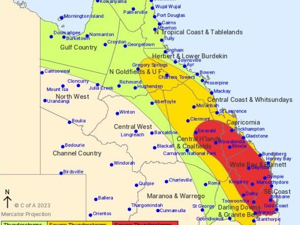
BOM community information officer Daniel Hayes said residents should keep a close eye on weather warnings for the next couple of hours leading into Tuesday evening as southeast Queensland individual storm cells continue to develop.
“We’re looking at possible thunderstorms extending throughout the Gold Coast bringing very intense rainfall, quite a strong outflow potentially destructive winds, and hail,” he said.
“It’s hard to know exactly when it will happen, but it will likely be a little earlier in the evening (compared to Monday).
“Yesterday we saw 30 to 60 millimetres of rain for parts of the Gold Coast and we’re expecting a similar rainfall Tuesday evening.”
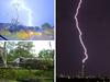
Monday night, the city recorded wind speeds up to 106 km/h causing a Burleigh Heads construction crane to collapse.
“That’s what we classify as destructive winds,” Mr Hayes added. “We’re definitely expecting similar winds tonight.”
The flash storm saw a number of homes destroyed and forced some of the Gold Coast’s most famous theme parks to shut down.
Mr Hayes said the Gold Coast should soon expect a “brief reprieve” from the destructive weather come Thursday with skies expected to clear.
However he added as the storm cells dissipate, southeast Queensland could expect heatwave warnings to be issued in the following days.

“Unfortunately, it appears that the storm cells have been holding off some of that hot weather we’re seeing in Western Australia,” he said.
“Potentially as the wet weather eases we will be looking at a heatwave.”
On Thursday, temperatures are expected to rise to a maximum of 33 degrees continuing into Friday and Saturday.
But heading into the New Year, Mr Hayes said another resurgence of wet weather was likely with a high chance of rain and thunderstorms returning by the end of the weekend.
Keep up to date with the latest weather warnings through the BOM website and X account.
HOW TO GET HELP
As the fallout of Christmas Day’s brutal storm sinks in, here’s what you need to know and who you need to call to deal with the aftermath.
Ergon Energy spokesman Mitchum McGuire said there are 120,000 customers on the Gold Coast without power and more than 1,000 powerlines down.
“It’s probably the single largest event we’ve seen on the Gold Coast in over 20 years,” he said.
Recording nearly 250,000 lightning strikes across southeast Queensland, authorities have warned locals to only leave the house if necessary to avoid active powerlines and dangerous debris.
Here’s who to call if you need help:
Energex: 13 12 53
Origin Energy
Emergencies: 13 19 62
Loss of supply: 13 62 62
SES Assistance: 132 500
SES Assistant App is also a responsive resource for storm assistance
Gold Coast City Council: 1300 GOLDCOAST (1300 465 326)
Disaster Hotline (only activated during declared emergencies): 1800 606 000
Gold Coast Rural Fire Services:
Gold Coast Rural Fire Brigade: 0429 069 178
Coomera Valley Rural Fire Brigade: 0417 338 457
Guanaba Rural Fire Brigade: 0427 926 724
Currumbin Rural Fire Brigade: (07) 5533 0510
Clagiraba Rural Fire Brigade: (07) 5533 2766
Translating and Interpreting Service: 13 14 50
Teletypewriter – 133 677 (enter 1300 465 326)
Speak and listen – 1300 555 727 (ask for 1300 465 326)
Internet relay users – go to Make an NRS Chat call (enter 1300 465 326)
In life-threatening emergencies call triple-0

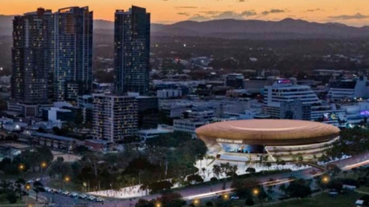
Project that will change everything: Inside battle for Southport’s soul
The Mayor, business leaders and most residents are backing a new indoor arena at Southport. However some fear it will make the area’s problems worse. One thing they agree on – it will change the Gold Coast’s CBD forever. READ OUR SPECIAL REPORT
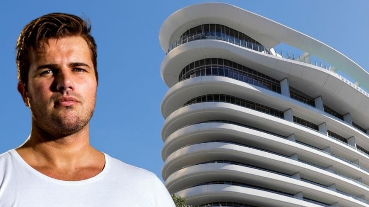
Woman ‘strangled, pinned’: Tostee hit with fresh high-rise claims
Gable Tostee, acquitted of the murder of his Tinder date, has been banned by a casino operator after allegedly strangling a woman in a hotel room.