
Gold Coast landslide risk revealed
Tens of thousands of Gold Coast properties have been identified as hazards according to a shock council report.

Council
Don't miss out on the headlines from Council. Followed categories will be added to My News.
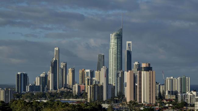
ALMOST 53,000 properties on the Gold Coast have been identified as having landslide hazards, in a shock finding by council.
The properties were included on a confidential attachment given to councillors at a planning committee yesterday. The proposed landside hazard overlay map is similar to those used to determine bushfire and flooding hot spots.
Previously, 38,129 properties were deemed to be a moderate or higher landside susceptibility risk. Hazards are considered to be a slope of greater than 11 degrees or 20 per cent.
However, the number of properties at risk have been bumped up to 52,845 thanks to a new digital data base accessing upgraded technology. Almost five per cent of the properties, just over 2600 lots, are in public ownership.
WHERE TO FIND THE GOLD COAST’S NEWEST ISLAND
A council report said almost 18,000 new properties had been identified as having a hazard and would need assessment.
The Bulletin understands most of the properties are in the Hinterland and involve rural acreage blocks. The findings could limit developments on those blocks.
“The majority of properties in private ownership are within the low and medium density and rural residential zoning,” the report says.
The legal advice to council is for residents to be notified early about the challenges on their property, the report says. A mail-out is planned by next month.
Councillor William Owen-Jones asked whether property owners could respond to the council letter and challenge the findings with technical advice.
Officers said more information would be provided on a website and what the proposed changes meant. Property owners could respond and provide technical evidence.
CITY PLAN: DEVELOPMENT APPROVAL ‘NEEDS TEETH’ SAY RESIDENTS
The council was getting legal advice on how to deal with the insurance industry on the new information, a council officer said.
“We are still looking into that and getting advice,” an officer said.
Outside the meeting, planning committee boss Cameron Caldwell told the Bulletin: “Council takes community safety very seriously. Protecting the community and making them aware of hazards is an important function of the City Plan.
“We now have improved technology and mapping that has allowed us to refine how we identify landslip hazards across the city.
“And we are taking the step to ensure that’s reflected in City Plan and residents are well informed.”
Cr Caldwell said the maps would be provided in the public realm “very shortly” with affected land owners made aware of the changes.
He confirmed most of the challenges for property owners with landslips occurred in the Hinterland.
Councillors were told beachfront homes were not affected, only those on headlands.
“The reason that we have things confidential at the moment is we don’t want to be talking about individual people’s properties until they know about it. We are contacting land owners directly,” he said.
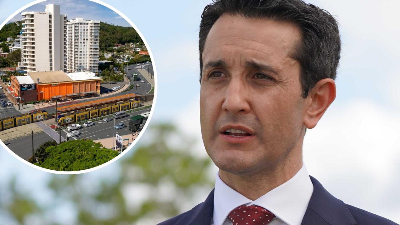
Prem’s pledge to Gold Coast: Transport you can ‘cherish’
Premier David Crisafulli is promising the southern Gold Coast will get a Burleigh-airport public transport solution it can “embrace, use and cherish” as electric buses emerge as an option. Read what he said.

Nuisance flying-fox colony funds for councils as temps soar
Seven councils will receive extra state funding to manage problem flying-fox roosts, as complaints from residents escalate about the bats’ noise, overpowering stench, and increased health hazards.