Red Centre hit by flash floods as southeast states brace for heaviest falls in decades
IN A massive display of Mother Nature’s raw power, a surge of water appeared out of nowhere in the middle of the outback and the coast is next.
technology/environment
Don't miss out on the headlines from technology/environment. Followed categories will be added to My News.
AUSTRALIA is a land of extremes.
Following intense fires in the Adelaide Hills, described by some as the worst since Ash Wednesday, southeast Australia and the Red Centre are now staring down a major flood event.
In a massive display of Mother Nature’s raw power, a surge of water appeared out of nowhere in the middle of the outback.
Photographed by Northern Territory Parks and Wildlife staff, the flash flood shows a dry creek bed swallowed up by the flood.
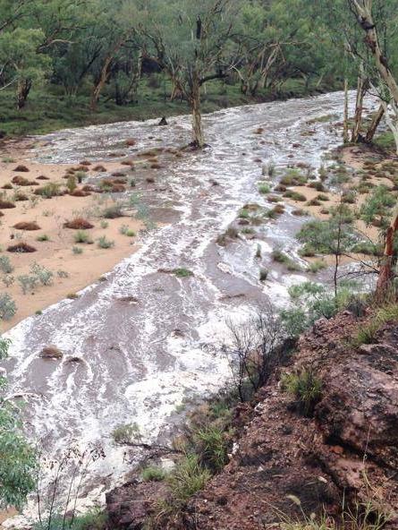
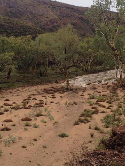
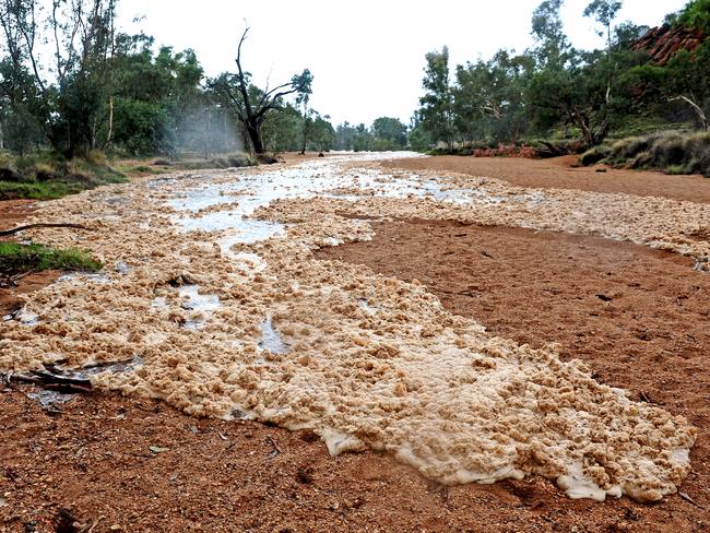
Dan Adams, a Ranger at Trephina Gorge Nature Park, 85km east of Alice Springs, was credited with taking the photos.
Closer to Alice Springs, police this morning recovered the body of a 24-year-old man who drowned in the Todd River last night.
Channel 10 weather presenter and meteorologist Magdalena Rose wrote on her blog that the Red Centre was expecting as much as 300mm of rain and South Australia could see the heaviest falls in 30 years.
“It’s the perfect storm of a heap of moisture combining with low pressure systems,” she wrote.
She said “significant flooding” was likely through the outback.
The Advertiser is reporting the potential for the heaviest rainfall in 30 years, since a deluge in January 1984.
With potentially 'once in 30 year' rain predicted across parts of #SA, follow @SA_SES, @PaddyPlatypus & bookmark: http://t.co/hmJaSlO0fP
— SA Metropolitan Fire (@SA_MFS) January 8, 2015The Herald Sun is reporting that Victoria could see its biggest downpour in six years with up to 100mm of rain expected over the next four days.
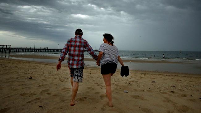
Emergency services have warned of severe thunderstorms, damaging winds and flash flooding today. A cold front could even bring large hail.

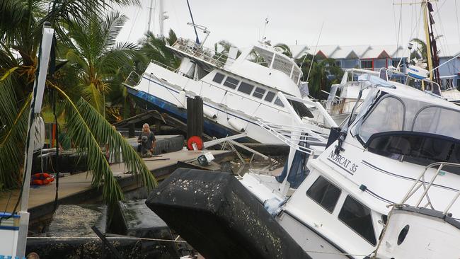
Further north, the Courier Mail reports that Queensland could get its first cyclone of the season on the weekend as a low spins up in the Coral Sea.
The low was 300km to 400km northeast of Cooktown last night.
Weather bureau forecaster David Bernard said there was a moderate chance of a cyclone forming tomorrow and a high chance on Sunday.
He said it was too early to say in which direction it might travel.
Originally published as Red Centre hit by flash floods as southeast states brace for heaviest falls in decades


