Intense rainfall worse than expected under climate change modelling, meaning flash floods
HARDER. Faster. More. Climate change is going to mess with how our rain falls, and it means more flash floods. That will have a big effect on our houses and roads — but we’re not ready.
SOMETHING strange is going on with our rain.
Scientists have expected global warming to increase rainfall intensity, as dictated by the laws of thermodynamics.
Warmer air holds more water at a standard rate of increase, precisely 6.5 per cent more for every degree of warming. And that relationship holds true when scientists look at daily rainfall over the past 50 years.
But when they started looking at hourly rainfall, the weather data told a different story – and it is worse than expected.
The research, published today in the journal Nature Climate Change, has implications for everyone from homeowners to developers, town planners and insurance companies.

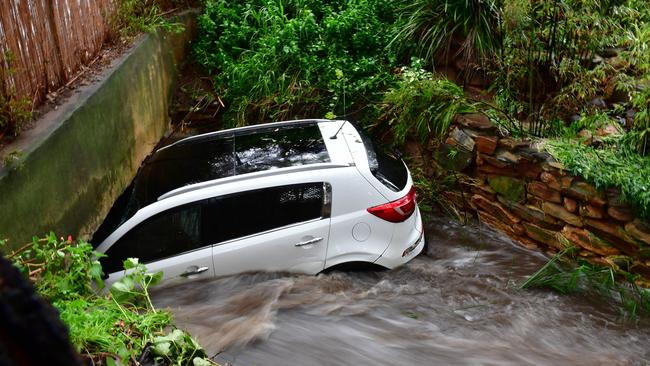
Engineer and co-author University of Adelaide Associate Professor Seth Westra says “short, sharp rainfall events” are becoming more intense, causing flash-flooding across Australia.
It’s a big problem because developers and town planners have made certain assumptions. They’ve built houses and infrastructure a certain way, and now all of a sudden those assumptions are changing.
That raises ethical questions about who’s responsible for managing these changes, who has to wear the risk and, ultimately, who pays for storm damage. It could lead to insurers raising their premiums or refusing to provide cover for flooding.
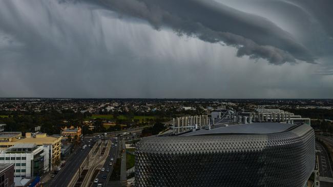
The study showed the amount of water falling in short intense storms, such as thunderstorms, is increasing at a rate two to three times higher than expected, with the most extreme events showing the largest increases.
The question is whether that rate could increase as the world warms, as lead author Dr Selma Guerreiro, from Newcastle University in the UK, explains.

“It was thought there was a limit on how much more rain could fall during these extreme events as a result of rising temperatures. Now that upper limit has been broken,” she says.
The researchers examined extreme daily and hourly rainfall during the period 1966 to 1989 and 1990 to 2013, using data from 107 weather stations across Australia.
They found the hourly rainfall data particularly “striking” with a “large increase in the magnitude of hourly rainfall extremes at the continental scale”.
“Here, all changes are outside the range expected from internal variability and the increases are much higher than expected from climate change,” the study says.
Bureau of Meteorology senior climatologist Darren Ray says it’s a good example of the importance of having long-term accurate weather data.

“At the daily scale you see changes happening pretty much as you’d expect with climate change, so as you warm the planet up you see about a six per cent increase in rainfall intensity per degree of warming,” he says.
“That means the atmosphere holds more moisture and there’s been a long-expected defined increase with climate change.
“But something else is going on at the hourly scale, where you’re seeing rainfall intensity increasing two to three times more quickly than that, particularly across Northern Australia.”
He says decision makers, including governments, have tended to design projects based on the climate change models that are now at risk of being out of date.
“So this suggests there’s a whole range of work that needs to be done to understand the likely flood risk in coming decades because of climate change. What this work suggests is we’re underestimating that quite significantly.”
At Tonkin Consulting, stormwater team leader Dr Olivia Oliver advises clients in local government and the private sector to factor in climate change predictions to help them build infrastructure that can cope with sudden heavy downpours.
She says those predictions are based on the accepted six per cent increase in rainfall intensity per degree of warming.
The latest research suggests the increase could be as much as 20 per cent, which she says is “a quite significant finding”.
“The consequence of flooding can be catastrophic,” Dr Oliver says. “So what we recommend is you assess the sensitivity of your infrastructure, whether it be roads, culverts or drainage, to increases in rainfall intensity, then understand the consequences of that infrastructure not providing the required level of service. That would inform how much you take into account climate change in the design.”
She says for “non-critical infrastructure” that might mean accepting the local drainage network will fail every two years instead of every five.
A spokeswoman from the Department for Environment and Water says the State Government will take this new research in to consideration.
Originally published as Intense rainfall worse than expected under climate change modelling, meaning flash floods

