
Sydney, Brisbane to sizzle as spring becomes summer
SCORCHERS to the north, a smattering of snow down south. That’s the shape of weekend weather along Australia’s East Coast.


technology/environment
Don't miss out on the headlines from technology/environment. Followed categories will be added to My News.
QUEENSLAND will live up to its name as the Sunshine State and Sydney’s gearing up for a scorcher as the east coast bids a temporary goodbye to early spring over the weekend.
Victoria will miss out on the unseasonal heat, but will be happy enough with a return to relative normality after wild weather has wreaked havoc there, and in South Australia in the past couple of weeks.
Enjoy the warmth while it lasts, the Bureau of Meteorology warns things will take a slight downturn early next week, with conditions deteriorating the further you head south.
QUEENSLAND
The Sunshine State will get the jump on the hot weather, with sunny tops of 33C forecast in Brisbane on Saturday and 31C on the Gold Coast and Sunshine Coast.
Sunday’s forecasts keeps Queensland ahead of the game, with Brisbane’s forecast for a maximum 25C, with the chance of a light shower.
Monday will see the weather blaze back to 28C, and Tuesday will see an unseasonal scorcher of 33C.
For this time of year the maximum high in the Queensland capital is usually in the lower 20s.
NSW
NSW will take a little longer to gear up for its faux summer, but brace yourselves.
After tops of 30C in Sydney on Friday, a slight cold front will bring in winds of up to 40km/h and a forecast maximum of 22C degrees in Sydney for Saturday.
That front will bite fiercely in the alpine regions, with a severe wind warning for damaging winds of up to 70km/h in place for the Snowy Mountains, parts of the South Coast, and southern tablelands. Those winds will ease early Saturday in those areas as the front heads further into NSW.
Sunday in Sydney looks like more of the same: winds of up to 30km/h during the day, fading away at nightfall, and another 22C maximum.
Monday is set to be a scorcher — with a forecast top of 33C, across the Sydney basin, ahead of showers in the afternoon. The average maximum for Sydney in October is 22C.
Enjoy it while it lasts: the seesawing of spring weather throws another curve ball on Tuesday with a forecast maximum of 20C.
VICTORIA
No heatwaves for Melbourne, but the usual mixed bag on Saturday, with a cloudy, windy day seeing a forecast maximum of 18C, followed by more showers, more wind and a top of 23C on Sunday.
Monday looks a little grim, with the mercury tipped to hit a maximum of 17C, winds of up to 30km/h and likely showers late afternoon in the wake of a cold front heading into western Victoria.
That front may even deliver a smattering of late-season snow in the alpine regions around Falls Creek and Mouth Hotham, with temperatures there dropping as low as -2C on Tuesday.
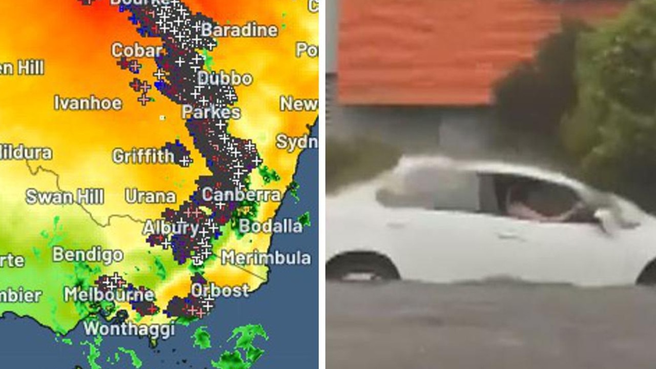
Meanwhile, the flooding which has devastated Victoria’s northeast continues to ease, but locals are still keeping watch on the level of the Murray River.

Originally published as Sydney, Brisbane to sizzle as spring becomes summer

Horror hailstorm leaves family with $10k bill
A family of nine have been left devastated after their roof caved in and their house was decimated by golf-sized hailstones during a wild storm.
Shock death as storms smash southeast
Wild weather across Australia’s southeast this weekend has turned deadly – with police confirming a camper has died after being crushed by a falling tree.