
Revealed: just how hot 2020 got
It was the year the drought broke, but 2020 shattered plenty of climate records across the country.
Australia notched up another grim series of climate records in 2020, including our warmest ever spring and warmest ever November, while the year overall was our fourth hottest.
The latest Bureau of Meteorology climate report found temperatures across the country as a whole were 1.15°C above average in 2020 – a mark surpassed only by the scorchers of 2019 (which was both our hottest and driest year ever), 2013 and 2005.
The hottest temperature recorded across Australia in 2020 was in outer western Sydney on January 7, when the mercury topped out at 48.9°C in Penrith, and the coldest minimum was a bone-snapping -14.2°C in Liawanee, Tasmania, on August 7.
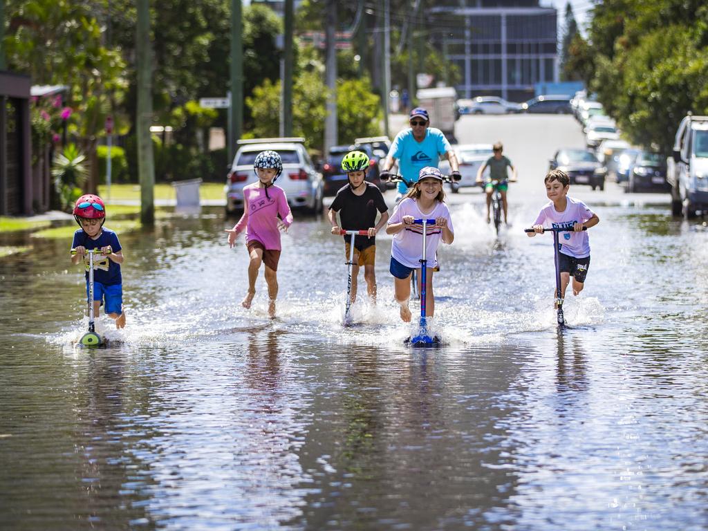
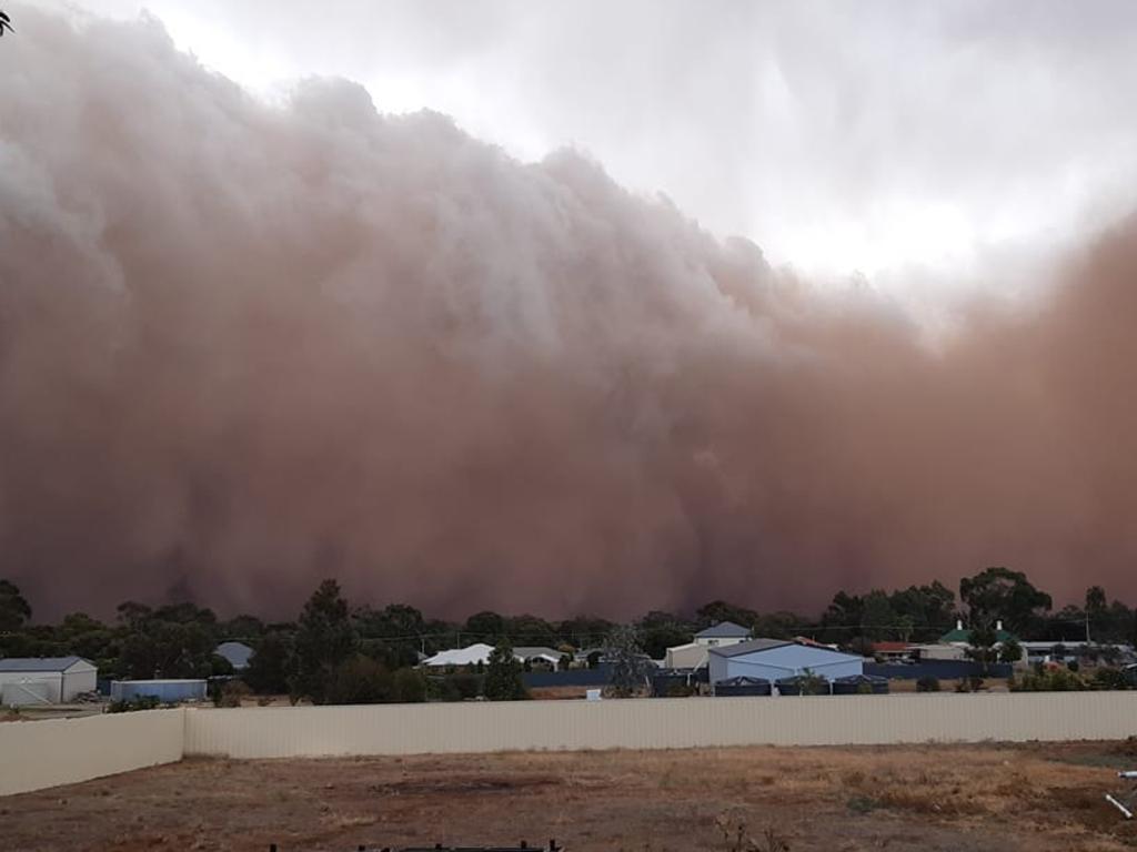
Rainfall was 4 per cent above average for the year, easing drought conditions in many areas, although some regions still experienced below average falls, including southeastern Queensland, western Tasmania, and large parts of Western Australia.
Significant rainfall in the southern part of the Murray – Darling Basin led to water storage increases, with levels rising from 36 per cent in March to 69 per cent in November, while in the northern part of the basin the increases were more modest, rising from 5 per cent to 25 per cent in December.
The year also had the distinction of being Australia’s warmest “La Nina year” to date, although Dr Andrew Watkins, Head of Operational Climate Services at the Bureau, was reluctant to use the term as the La Nina conditions – typically associated with lower temperatures and increased rainfall across the continent – were only officially recognised in September.
“The whole year wasn’t a La Nina year,” Dr Watkins said.


Senior Climatologist Dr Lynette Bettio said that while it wasn’t unknown for La Nina events to occur in successive years, the current La Nina was at its peak now and it was expected to follow a “typical life cycle of decline into Autumn”.
The annual climate report, released today, also reveals that Australia has just finished its warmest decade yet.
“The mean temperature for the 10 years from 2011 to 2020 was the highest on record, at 0.94°C above average, and 0.33°C warmer than the previous 10 years (2001-2010),” Dr Bettio said.
Dr Watkins said that while December data was still being collected, 2020 was on track to be the third warmest year on record for the entire planet.
“Globally, every year from 2013 onwards has been among the ten warmest on
record, with 2016 and 2019 being the hottest, and 2020 was among the top three, despite the onset of La Niña which has a suppressing effect on global temperatures,” Dr Bettio said.
STATE BY STATE: HOW WE FARED IN 2020
NSW IN 2020
− Rainfall above average for most of the state.
− Temperatures above average across most of NSW except for the southwest.
− Sydney’s rainfall was 28% above average.
− Sydney’s mean maximum and mean minimum temperatures were above average, but days
were not as warm as 2019.
− Penrith Lakes reached 48.9 °C on January 4, the highest temperature ever recorded in the Sydney Basin – and the highest temperature recorded across the country in 2020.
VICTORIA IN 2020
− Close to average overall, but above average in central and southern parts of the state.
− Third wettest April on record, but most months were drier than average.
− State’s mean temperature was close to average in most months.
– Second-warmest November on record.
– Coolest May since 2006.
− Melbourne’s mean maximum and mean minimum temperatures were within 0.5°C of the
annual average.
– Melbourne’s rainfall above average at all reporting sites.
QUEENSLAND IN 2020
– Fifth warmest year for the state.
− Rainfall below average across much of southeastern and parts of east coast, and close to average elsewhere.
− Mean maximum temperatures were above average across state, with small areas of
the northern tropics the warmest on record.
− Brisbane’s rainfall close to average.
− Brisbane’s mean maximum and mean minimum temperatures slightly warmer than
average.
SOUTH AUSTRALIA IN 2020
− Rainfall close to average across large areas of the state, with several very dry months offset by a much wetter than average end to winter and start of spring.
− Both mean maximum and mean minimum temperatures were warmer than average across the west of the state and parts of the north; close to or cooler than average for much of the south and east.
− Warmest November on record
– Coolest May since 2006.
− Rainfall close to or above average at all sites across Adelaide and the Hills.
− Both daytime and night-time temperatures for 2020 were within 1 °C of average at most
Adelaide sites.
TASMANIA IN 2020
− Total rainfall slightly below average.
− Wettest autumn since 1975
− Second-driest July on record.
− Both mean maximum and mean minimum temperatures were warmer than usual, with
minimums especially so in the northeast.
− Hobart’s annual rainfall 7% above average.
– Australia’s coldest temperature for the year (-14°C) recorded at Liawenee on August 7
NORTHERN TERRITORY IN 2020
− Fifth-warmest year on record.
− Annual rainfall above average, though most of the Top End had close to average rainfall, and the far southeast was drier than average.
− January, February, October, and December were the only months that saw above average
rainfall.
− Dum In Mirrie (northwest Top End) had the highest daily rainfall ever recorded in the Territory with 562.0 mm on 11 January.
− Darwin Airport’s annual mean daily maximum temperature was 1.0 °C above average.
− Alice Springs Airport’s annual mean daily maximum temperature was well above average.
More Coverage

Originally published as Revealed: just how hot 2020 got

