
Eastern states braces for more rain pain along coast before midweek relief ahead of long weekend
Australia’s east coast continues to be battered by a furious rain deluge, but a meteorologist says there are signs the stormy conditions could ease later this week.

Environment
Don't miss out on the headlines from Environment. Followed categories will be added to My News.
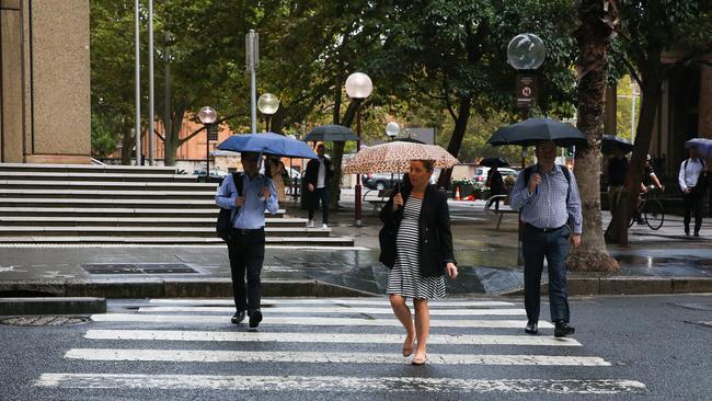
NSW has continued to endure a relentless deluge that sparked dramatic flood rescues across Sydney, but there are signs the conditions could ease ahead of the Easter long weekend.
One meteorologist has said the showers could worsen on Tuesday before the rain system clears up.
This comes after two people were rescued from Waterloo and Alexandria after flash flooding overwhelmed their cars on Sunday morning, following a night of heavy rain across Sydney.
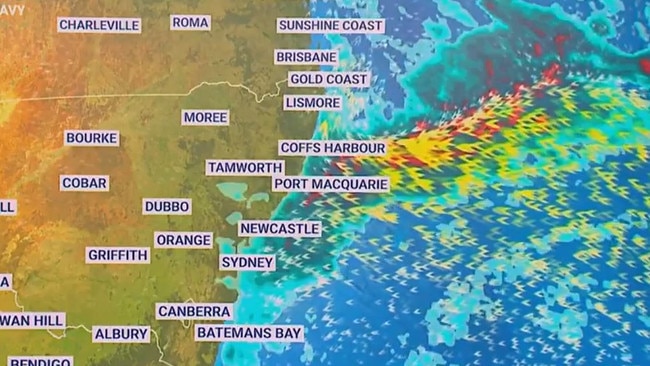
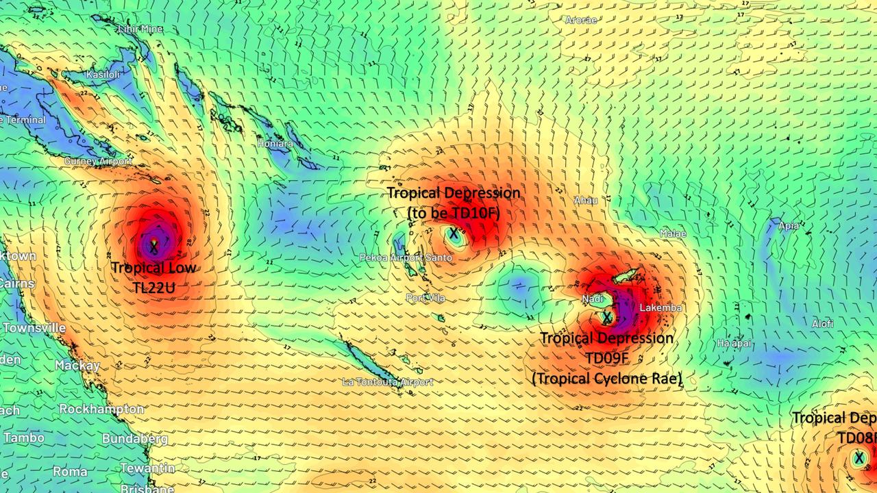
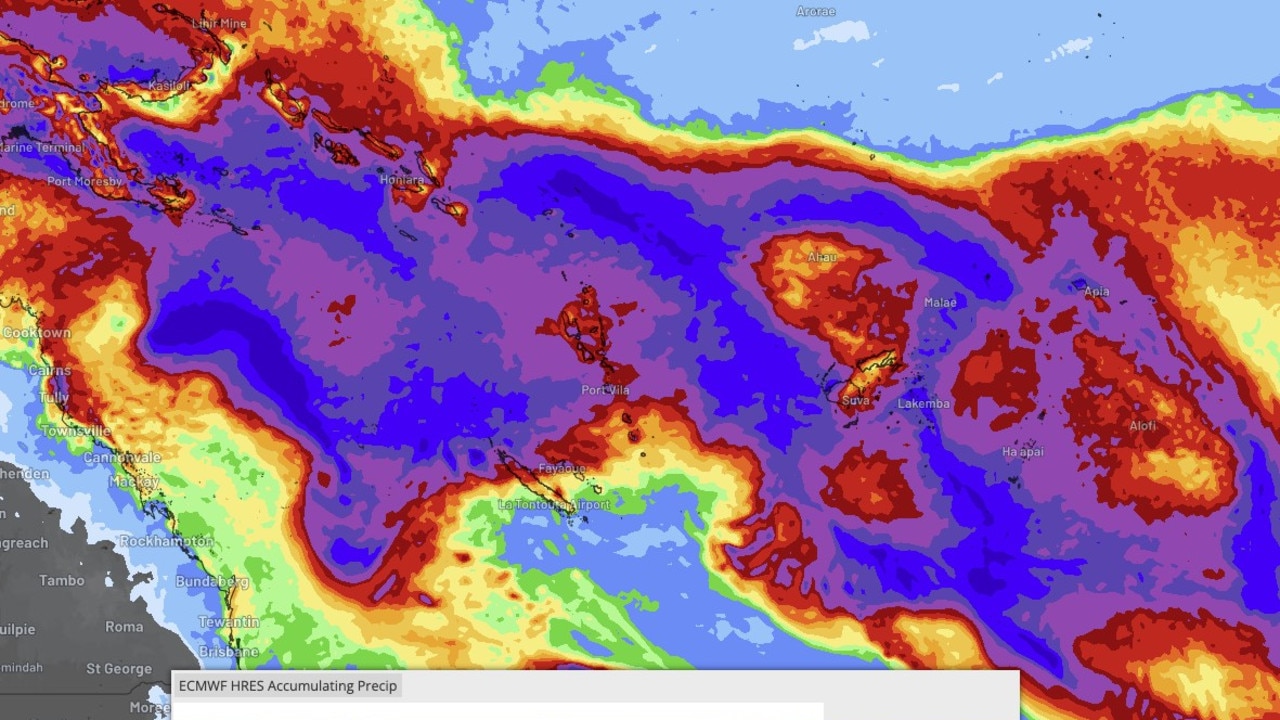
The deluge was described as a “daily” event up and down the east coast of Australia but the Bureau of Meteorology (BOM) says this will ease up over Wednesday and Thursday.
BOM senior meteorologist Dean Narramore on Monday said the state could look forward to a “pretty nice” Good Friday at this stage.
“We’re looking at Friday and Saturday temperatures in the high twenties with lots of sunshine,” he said.
“Localised heavy showers should clear up Thursday ahead of a nice Good Friday.
“That’s not so much the case for the south.”
South Australia, Victoria and Tasmania will brace for “badly timed cold fronts in the south”, bringing cold, wet and windy conditions just in time for Easter.
“Western Australia is also looking cool and a bit dry, while Queensland and the Northern Territory will just have a shower or storm about the tropical north,” Mr Narramore said.
Friday temperatures across Queensland and New South Wales are forecast to be 2-8C above average, while Western Australia and South Australia will be 2-8C below average.
“Most of Queensland is looking all right, warm and mostly dry … with cold weather spreading across from WA on Friday to Victoria and South Australia by Saturday, then much of the country by Sunday,” Mr Narramore said.
“On Sunday everywhere except coastal Queensland will be 2-10C below average.
“Just in time for Easter activities, so badly timed unless you’re on the Queensland coast, then it’s perfectly timed.”
Mr Narramore said moist onshore winds combining with a coastal trough will continue to bring showers in NSW until Wednesday while inland areas will stay dry.
“Most of the east coast is really nice Friday and Saturday,” he said.
“Everyone will have a chilly Easter Sunday except for coastal Queensland.
“Those morning egg hunts could be a little fresh for some, particularly in the south.”
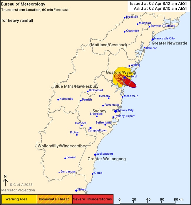
A severe thunderstorm warning that was in place for the Central Coast over the weekend brought renewed fears for flash flooding.
The Entrance and Woy Woy experienced heavy rainfall, while more than 60mm was recorded at Kincumber Mountain Reservoir in a one hour period.
Showers are expected in Brisbane until it clears slightly on Wednesday, however, forecasters predict rain will return by Friday.
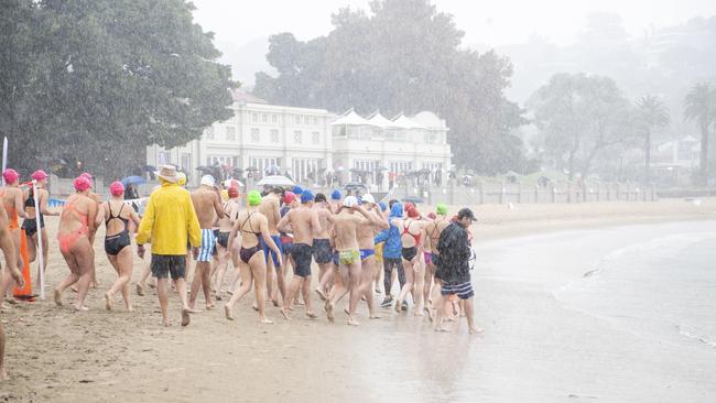
And while Melbourne will have a rather glum weekend, the sun is expected to be out in force at the start of the week with a high of 26C on Tuesday.
Summer temperatures remain in Adelaide with a high of 28C predicted for the city on Tuesday, with shower expected from Wednesday.
Those in Perth will likely be hitting the beach on Sunday as the mercury is expected to reach a high of 27C.
Originally published as Eastern states braces for more rain pain along coast before midweek relief ahead of long weekend
When tropical cyclone could hit coast
Tropical Cyclone Alfred has formed and is expected to quickly intensify, with new predictions revealing when it could hit Australia’s coast.
‘Significant’: Warning as severe moves in
The Bureau of Meteorology has warned a low lingering off the coast of North Queensland could be a category three tropical cyclone within days.