
Extreme heatwave hits South Australia as rain clears in multiple eastern states
A blast of heat will bring oppressive conditions to two states over the weekend, with vulnerable communities urged to shelter from the harsh weather.
Environment
Don't miss out on the headlines from Environment. Followed categories will be added to My News.
A scorcher of a weekend is in store for multiple states, with a heatwave stretching across South Australia, while floods continue to cause havoc in Queensland and Victoria.
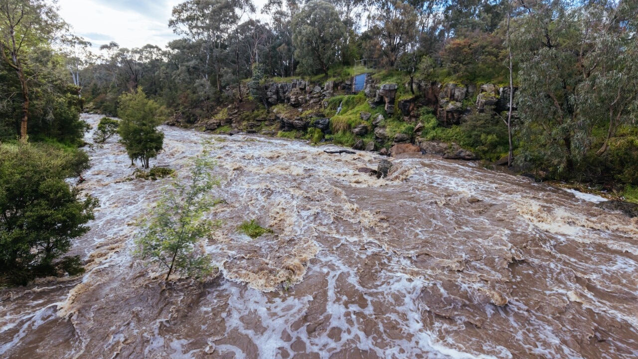
It has been a challenging week for residents of northern Victoria and eastern Queensland, where residents are still experiencing serious flooding and in some regions recovery efforts are starting to get underway.
While rain is starting to ease in some areas this weekend, others are expected to get significant rainfall totals thanks to developing tropical lows and the small chance of a cyclone forming in two states.
Here is how the weather will look in every state this weekend.
South Australia
A blistering heatwave has crept across South Australia and will send temperatures soaring into the mid forties in the west of the state on Friday.
Oak Valley will climb to a high of 45C and will stay in the 40s until next week.
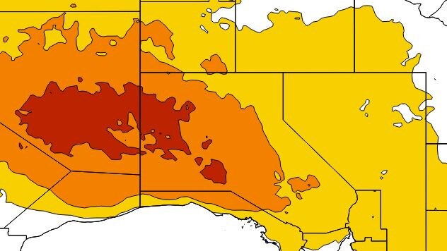
Extreme heatwave conditions are expected over the northwest pastoral district until the end of the weekend, while severe heatwave conditions over the west of the state are not expected to ease until early next week.
Victoria
Eleven flood warnings remain in place in Victoria, but after days of soaking rain the skies are due to clear over the weekend, bringing some welcome relief for flood-hit locals.
The temperature will climb to 36C in northern parts of the state on Friday while Melbourne’s CBD will hit a maximum temperature of 32C.

A watch and act flood warning is in place for Shepparton where releases from Lake Eildon are at 5,000 megalitres a day.
Bendigo residents are also under a watch and act warning where flooding continues to impact Pyramid Hill and Kow Swamp.
Queensland
Heavy rainfall is possible with thunderstorms in parts of northern & western Queensland on Friday, according to the bureau.
Localised flash flooding is possible in the North Tropical Coast catchments still saturated from recent downpours.
A minor flood warning is current for the Daintree with the Village likely to exceed the minor flood level of four metres in the morning.
Damaging wind gusts are possible in the southwest of the state as severe storms roll through the region.
A tropical low is developing within the monsoon trough over the easter Gulf of Carpentaria with a low risk of tropical cyclone developing from Sunday onward.
âš ï¸ðŸŒ§ï¸Heavy rainfall occurring in #FNQ this morning; a Severe Weather Warning is current. Flash flooding possible and a minor flood warning current for the Daintree River. Heaviest rain expected to ease later today, but a risk of redeveloping over the wknd. https://t.co/FBmpsInT9opic.twitter.com/yTn2MAZVMs
— Bureau of Meteorology, Queensland (@BOM_Qld) January 11, 2024
The low may move to the east, across The Cape York Peninsula and into the northern Coral Sea early next week.
A top of 30C is forecast for Cairns on Friday with significant rainfall expected to stick around for the weekend.
Up to 150mm could fall by the end of Monday.
NSW
After experiencing the muggiest day on record, the heat and humidity will stick around in Sydney for a couple more days.
A high of 30C is expected on Saturday, before showers return on Sunday.
Up to 9mm of rain could fall by the end of the weekend and the showers are likely to linger over the city until mid-next week.
ACT
A high of 31C is forecast for Friday and Saturday.
There is a chance of a thunderstorm developing on Saturday with winds of up to 25km/h.
By Sunday, showers will ease up and the temperature will fall to a top of 23C.
Western Australia
A heatwave warning is in place for most of the nation’s west over the weekend.
Extreme conditions are spreading over the east and patches of the north of WA from Friday with severe conditions in other parts of the state.
Locations likely to be impacted include Bunbury, Collie, Laverton, Leinster, Leonora, Meekatharra, Mount Magnet, Margaret River, Paraburdoo and Wiluna.

Maximum temperatures in the low to mid forties are expected inland, and in the north maximum temperatures could also reach the low forties in the Lower West and South West districts.
Perth is due to soar to 41C on Saturday.
Northern Territory
Massive rainfall totals are expected over Darwin on the weekend, with up to 270mm are likely to fall between now and Monday.
Up to 100mm could fall in just 24 hours on Monday according to bureau forecasts.
An active monsoon trough across the Top End is increasing rain areas and thunderstorm activity, but is expected to slowly move south during the weekend.
It is unlikely to develop into a tropical cyclone but could encourage monsoonal gales over the Top End and Kimberley.
Originally published as Extreme heatwave hits South Australia as rain clears in multiple eastern states
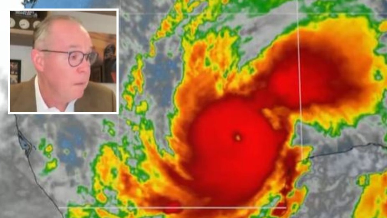
Weatherman breaks down over horror storm
A weatherman has become emotional while delivering an on-air update on Hurricane Milton as the freak storm threatens lives in the US.
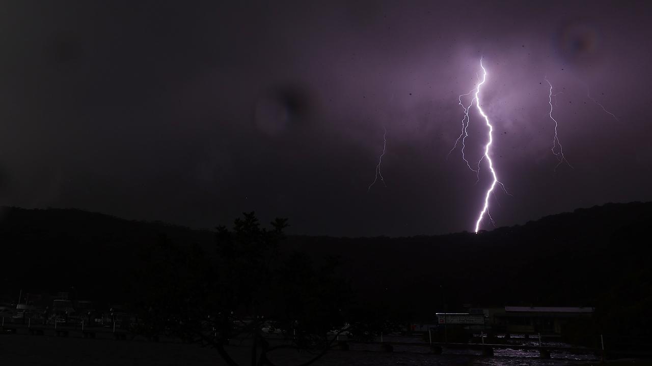
200k lightning strikes hit state in one day
A shocking number of lightning strikes were recorded in a single day as residents of one state battled hail and severe storms.