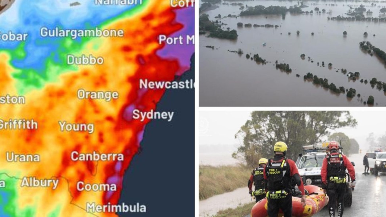
Queensland regions smashed by ‘slow-moving’ severe thunderstorms
A spate of flash flooding and severe storms have thrashed one state, with major dams at risk of overflow and much more rainfall forecast to fall in the coming days.
Environment
Don't miss out on the headlines from Environment. Followed categories will be added to My News.
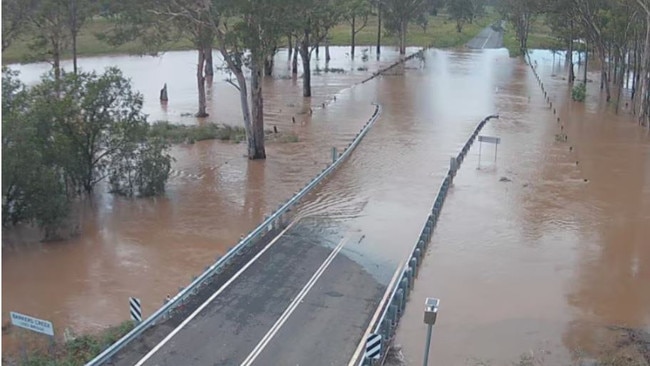
Southeast Queensland is on high alert after heavy rainfall left many roads cut off and major dams at risks of overflowing.
Torbanlea on the Fraser Coast experienced the highest amount of rain with 180mm recorded in the past 24 hours to 9am, while Hervey Bay had 119.2mm fall.
Elsewhere across the region, Tin Can Bay recorded 101mm, Gayndah 72.4mm and Maryborough 59mm. Kingaroy also saw 83mm falling in one hour.
The Bureau of Meteorology forecasts rain and thunderstorms will continue on New Year’s Eve, threatening fireworks displays across the southeast.
“Thunderstorms are possible through much of Queensland and along the east coast today, with severe storms bringing the risk of heavy rain and flash flooding to some areas,” the Bureau stated.
“This may lead to dangerous driving conditions and possible inundation of homes and properties.”
Heavy falls from storms are most likely to impact Queensland’s Wide Bay, Darling Downs, and eastern Maranoa and Warrego districts, as well as the Scenic Rimand Central Highlands.
A minor flood warning remains in place for the Burrum and Chernwell Rivers.
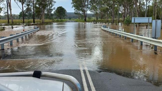
Meanwhile, the South Burnett Regional Council confirmed multiple roads remain closed after Kingaroy was smashed with heavy rainfall overnight.
In a statement, council confirmed it would be prioritising state-controlled roads before focusing on council roads.
⛈ï¸Chance of thunderstorms in the far north and south east #Queensland for 🎆NYE🧨. Storms could be severe with heavy rainfall in the SE.
— Bureau of Meteorology, Queensland (@BOM_Qld) December 31, 2024
Details: https://t.co/xhhEZNgX0vpic.twitter.com/t9WQTXfBX5
Seqwater has also advised flood releases from Wivenhoe and Somerset dams are possible in the next 48 hours due to forecast heavy rainfall.
“Flood releases are when we make controlled, gated releases of water that is being stored over the drinking water supply level,” Seqwater stated.
“These releases are strictly regulated and managed by senior flood engineers, helping to manage water levels and make room for further inflows.
“The Flood Operations Centre is at Alert closely monitoring dam levels, rainfall and inflows into the dams on a 24/7 basis.
Several ungated dams are spilling excess water.
“Please stay away from any fast flowing or deep water near waterways downstream of the dams.”
The concern comes after a major emergency warning was issued for parts of Queensland after a regional city was smashed by 82mm of rain in a single hour on Monday.
Kingaroy, in the South Burnett region of Queensland, was hit by the deluge on Monday night, with one resident capturing footage of the city’s waterlogged streets.
“I haven’t seen that since 2011,” another person in the car is heard saying as the vehicle drives past torrents of water.
A woman is heard saying someone outside the local IGA is “stuck”.
A whopping 82mm of rain was recorded earlier in the afternoon, while 68mm was recorded in Dalby, in the Western Downs region.
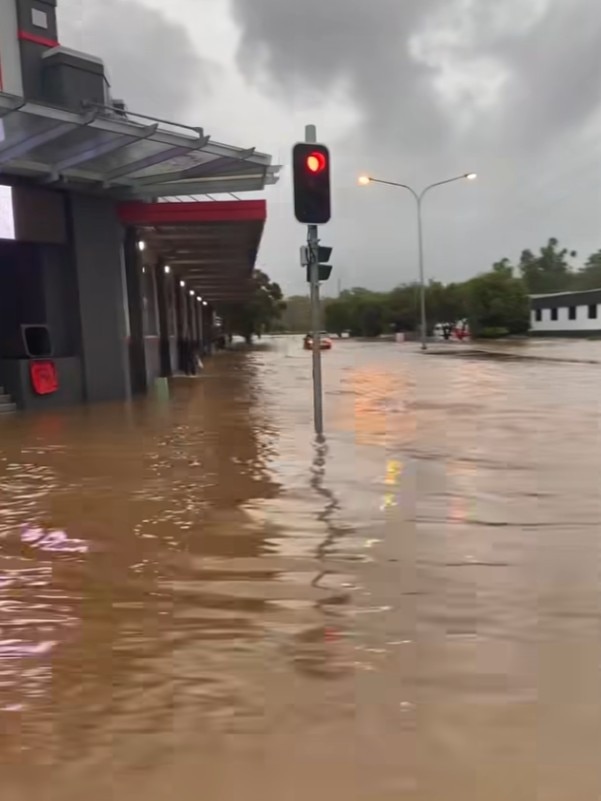
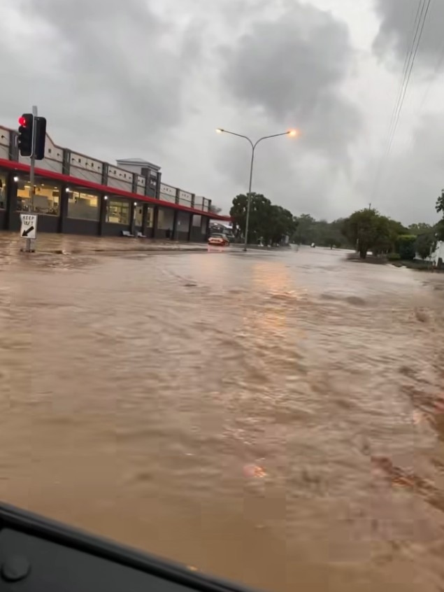
Another 65mm of rain fell in Moffatt – followed by 62.6mm in Saddler Springs and 43mm at Jandowae-Macalister Road, west of Dalby.
Queensland Police are currently urging Kingaroy residents to stay vigilant as part of a watch and act warning.
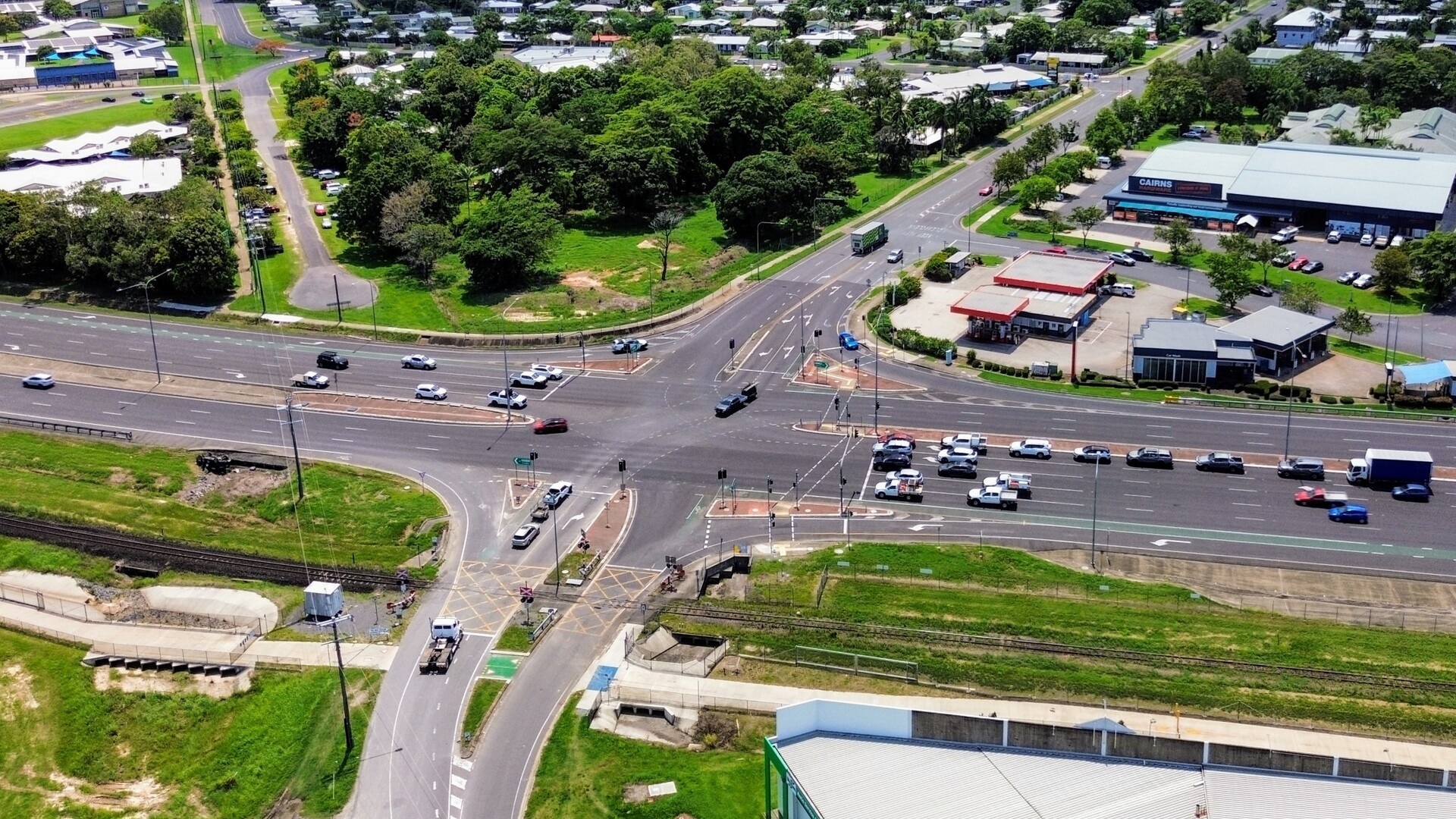
Severe damage to infrastructure in the affected regions has been reported, including two of the city’s major intersections.
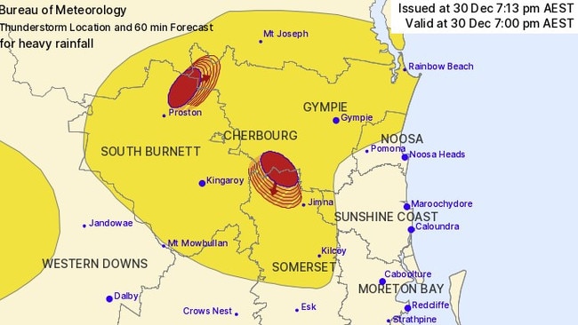
A severe thunderstorm warning for the Gympie, Somerset and South Burnett Council areas warns of “slow-moving thunderstorms”, as of 7.13pm.
“Severe thunderstorms likely to produce heavy rainfall that may lead to flash flooding were detected near Elgin Vale and the area northeast of Lake Boondooma,” the bureau’s warning states.
“These thunderstorms are slow moving.
“They are forecast to affect the area northwest of Jimna and the area east of Nanango by 8.00pm.”
Another severe thunderstorm warning has been issued for the Central Highlands and Coalfields, Wide Bay and Burnett, Maranoa and Warrego, Darling Downs and Granite Belt and Southeast Coast forecast districts.
“A moist and unstable air mass combined with an upper trough is producing severe thunderstorms,” the bureau’s warning states.
“Severe thunderstorms are likely to produce heavy rainfall that may lead to flash flooding and damaging winds over the next several hours.”
Locations which may be affected include Emerald, Blackwater, Springsure, Woorabinda, Mantuan Downs and Carnarvon National Park.
The bureau’s warning also states people in Gympie, Kingaroy, Cherbourg, Kilcoy, Nanango and Rainbow Beach may experience the same flash flooding.
Originally published as Queensland regions smashed by ‘slow-moving’ severe thunderstorms


