Bushfire recommendations ‘languishing’ as El Nino confirmed
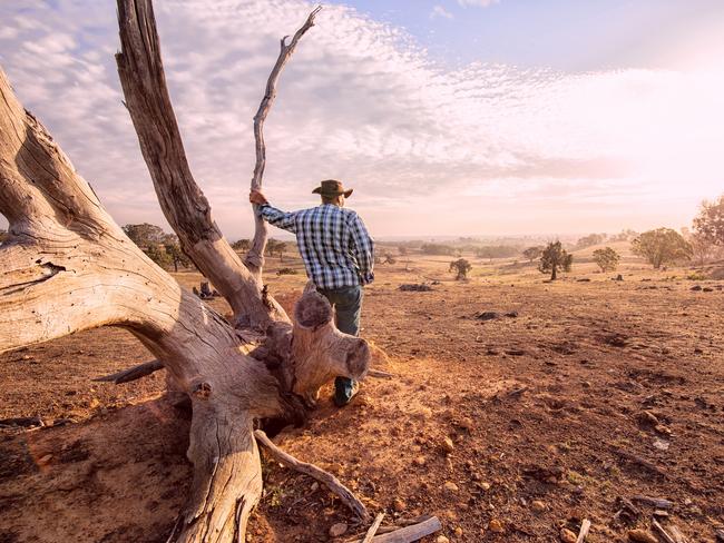
Australia is almost certainly heading towards another El Nino – and a potentially “bad” bushfire season – but one expert warns the lessons of Black Summer have been forgotten.
Environment
Don't miss out on the headlines from Environment. Followed categories will be added to My News.
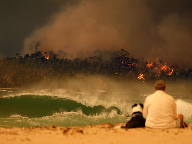
Bushland areas that did not burn during the Black Summer bushfires will be especially vulnerable to blazes later this year, a leading emergency expert has warned.
And hot and dry conditions are virtually certain to dominate Australia’s south and east for the rest of 2023.
On Tuesday the World Meteorological Organisation confirmed there was a 90 per cent likelihood of El Nino conditions in the second half of the year. It would be the first El Nino detected since 2015/16.
While an El Nino dumps increased rain in parts of Africa, the Americas and Asia, in Australia it boosts the likelihood of heatwaves, droughts, bushfire conditions and bleaching on coral reefs.
The shift comes after a rare “triple dip” La Nina, which brought abundant rain and floods to south and eastern Australia between 2020 and 2022.

Former NSW Fire and Rescue Commissioner Greg Mullins said the upcoming season was not likely to be a repeat of the Black Summer, because those La Nina rains had left soils in some areas with “a fair bit of moisture”.
But after three years of rain, “fuel loads are intense” and “bad” fires were likely, especially in areas that did not burn in the Black Summer, including bushland around Sydney, Newcastle and Wollongong, he said.
Mr Mullins also warned work on recommendations from the National Natural Disaster Arrangements Royal Commission was “languishing” and there had been no report on progress since last September.
Mr Mullins said the management of radio spectrum for emergency services communication was a subject of dispute between state and federal governments, while the states and territories were getting “downscaled climate modelling so they can plan for the future”.
“They’re not letting that information out of Canberra, and that’s a scandal,” he said.


Dr Nandini Ramesh, Senior Research Scientist with the CSIRO, said the strength of an El Nino event was measured in terms of sea surface temperatures in the Pacific, and not in terms of its impact.
“In Australia, the relationship between event magnitude and impact is not linear: some of the worst bushfire years have been during relatively weak El Nino events (2019-2020, for example),” she said.
The World Meteorological Organisation (WMO) and the USA’s version of the Bureau of Meteorology have already forecast the El Nino to be moderate to strong, but Dr Ramesh said this would depend on how the atmosphere responded to warmer sea temperatures.

The Bureau of Meteorology has not yet called an El Nino event, saying on Tuesday the prevailing environmental conditions were “close to, but just shy of” necessary levels. But regardless, Australia was on track for warmer and drier conditions between August and October, the Bureau confirmed on Tuesday.
Oceans and climate expert Dr Jan Zika from the University of NSW said oceans everywhere were warming and surface temperatures in particular were “going crazy”.
Parts of the Atlantic were now 23 degrees – “a bath,” Dr Zika said.
“Every time we get out and measure the ocean it’s warmer than it was before,” he said.
WMO Secretary-General Professor Petteri Taalas said an El Nino “will greatly increase the likelihood of breaking temperature records and triggering more extreme heat in many parts of the world and in the ocean”.


