
Mapped: The Canterbury-Bankstown streets in line for thousands of homes under NSW planning changes
Mapping by Sydney’s most populated council shows more than half the local government area could be rezoned to take increased density under contentious NSW Government housing reforms.

The Express
Don't miss out on the headlines from The Express. Followed categories will be added to My News.
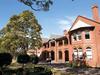
Huge swathes of Sydney’s most populated council area could be rezoned for thousands of new homes and units as the region’s mayor issues a public plea for “NIMBY” councils in the city’s east to take their fare share of the state’s housing load.
New mapping released by Canterbury-Bankstown Council has revealed the full extent of NSW Government planned housing reforms that would allow medium density apartments to be added to residential streets near town centres and public transport hubs.
Latest Census figures show the council is already home to 346,302 residents – making it the most populous local government area in NSW – and is already on track to meet a target of 50,000 new homes by 2036.
But mapping by the council shows more streets could accommodate even further population growth as part of the NSW Government’s drive to add 377,000 new homes across the state by 2029.
Under the planning changes, buildings up to 21m tall – or about the size of a six storey building – would be permitted within 400m of areas defined as ‘local centres’ and buildings up to 16m – or about the size of four storey building – would be permitted in areas up to 800m walking distance.
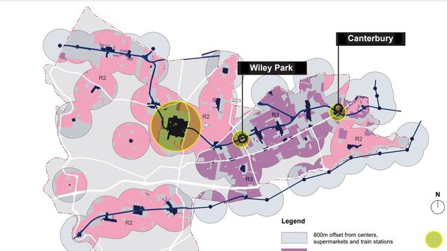
The council mapping shows more than half the council area could be rezoned to take increased density under the reforms.
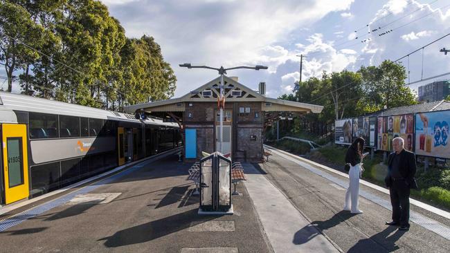
Hotspot areas include suburbs along Canterbury Rd, the T8 and Bankstown train lines and residential streets around the Canterbury and Bankstown town centres.
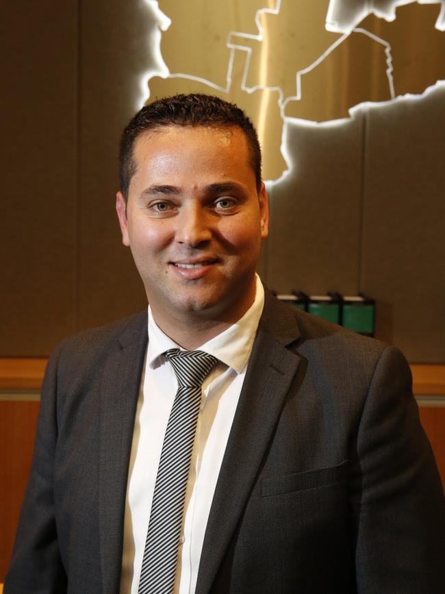
Local Labor Mayor Bilal El-Hayek says the intention of the NSW Government housing drive has merit, but warned it “must not come at the expense of creating unliveable and uninspiring dense cities”.
“Density can work but only if the density is done right and in collaboration with local councils and the community,” he said.
“Our council hasn’t shirked its task of delivering new homes, or meeting the targets set by previous Governments - in fact, we have done most of the heavy lifting.”
Mr El-Hayek has also taken aim at a growing list of councils that have opposed the government’s housing changes – including those in Sydney’s east and north shore.
“While we can say we have done the heavy lifting, there are some councils who watch from the sidelines doing very little as we shoulder the burden and break our backs,” he said.
“You’ve heard them - they’re the Nimbys, not in my backyard.”
“Housing targets (should be) distributed fairly across all councils, and should not leave all the heavy lifting on councils like ours who are already doing the right thing.”
Concerns by councils opposed to the reforms have included fears they would decimate the character of residential areas, impacts heritage conservation areas, and have the potential to drive up property prices.
The Department of Planning maintains the introduction of new forms of residential development would “represent a healthy evolution of the fabric for our suburbs.”
“There is overwhelming community support for additional housing to help tackle the current housing crisis in NSW and across Greater Sydney,” a department spokesman said.
Canterbury Bankstown Council’s draft submission to the State Government’s reform has called for various changes to the proposed housing reforms.
The changes include collaborating with council to carry out existing master plans for Belfield, Belmore, Lakemba, Punchbowl and Wiley Park, rather than implementing the draft planning laws for the suburbs.
It also wants units classified as ‘manor houses’ to be excluded from R2 zones.
Mr El-Hayek said he has had meetings with Primer Chris Minns to discuss the reforms and has urged “him to ensure the housing targets are distributed fairly across all councils”.
Local councillors are due to debate the draft submission at a council meeting this week.

‘Life or death’: Alarm over city judges ruling on bush bail cases
A plan to have city magistrates remotely dealing with bail applications from the country has raised alarm about fairness and the possibility of recidivist offenders getting out more often.

How every NSW and ACT childcare is performing in 2025
Hundreds of childcares across NSW do not meet national quality standards, with eight listed as requiring significant improvement. Search and see the full list to find out how your childcare rated.