
Canterbury Bankstown Council flood maps reveal big issue for $50m Bulldogs ‘centre of excellence’ plan
A report on the proposed $50m Bulldogs “centre of excellence” has failed to assess flood risks, despite council mapping revealing the site is at risk of ending up completely underwater.

The Express
Don't miss out on the headlines from The Express. Followed categories will be added to My News.
A scoping report for the proposed Canterbury-Bankstown Bulldogs “centre of excellence” has failed to assess flood risks, despite council mapping revealing the site sits on an “island” that’s at risk of ending up completely underwater.
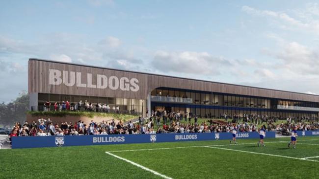
The $50m proposed facility is expected to transform the Bulldogs’ home base at Belmore Oval Sports Complex.
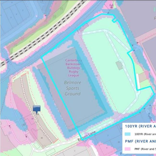
While initial development plans claimed the site was “not flood-prone”, Canterbury Bankstown Council flood maps submitted in a response to Urbis Group’s scoping report reveal an overland “flow path” runs directly through a proposed carpark.
According to the council, any attempt to fill in the flow path could have unknown “adverse” flooding impacts on the surrounding area.
The submission also notes the site sits on an “island” surrounded by flood-prone land and a one-in-100-year flood event would put the entire Belmore Sports Grounds underwater.
A project spokesperson said initial reports for the proposed centre of excellence had been based on state government data, which did not include flood risks identified in council maps.
The spokesperson added that despite the conflicting data, project developers had already planned to undertake further stormwater and flooding assessments of the area.
“The next step of the process is to be prepare the environmental impact statement, which includes identifying any new information for further research or investigation,” the spokesperson said.
“In this instance, one of the areas that we are currently investigating is flooding because (the) council’s maps indicated a different flood risk to what was shown in the standard NSW Government data.
“The project team does not anticipate this to affect the timeframe of the project.”
Earlier this year, Belmore Sports Ground was left “one metre underwater” after heavy rains lashed the area, ruining equipment.

In April, the club was forced to abandon ship and search for a new temporary base after the downpour damaged a number of facilities on the site.
At the time, Bulldogs general manager Phil Gould wrote on X that “the gym, dressing rooms and offices have been flooded”.
“Up to a metre high,” he wrote. “Unusable.”
Electronic equipment was also damaged in the deluge.


Sydney’s busiest hospitals boosted with 100+ frontline workers
More than 100 new junior doctors and paramedics will join one of Sydney’s busiest hospital networks and fastest growing regions. Here’s the latest.

Whopping amount Sydney councils are spending on ‘staff travel’
Seminars focused on climate change and the benefits of cycling were among overseas visits taken by council employees last financial year as Sydney councils racked up a combined travel cost bill of more than $7 million.