
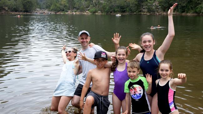
Bents Basin Conservation Area is open again after flood damage
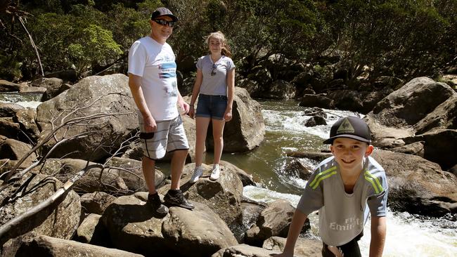
BENTS Basin Conservation Area in Sydney’s southwest is open to picnics and camping again after flood damage forced its closure in early June.
Penrith
Don't miss out on the headlines from Penrith. Followed categories will be added to My News.
- Flood damage keeps Bents Basin closed
- RIP Splinter, a prince among rats
- Riding school’s joy after flood despair
- Teens rescue dog from cliff face
Bents Basin Conservation Area campground and picnic areas reopened last week following clean-up work to remove debris left after heavy rain and flood waters.
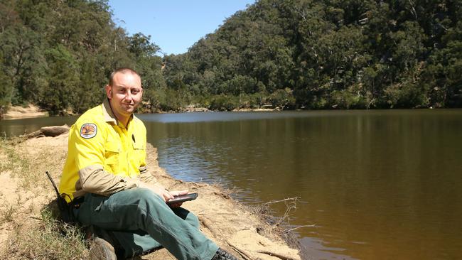
Nattai Office of Environment and Heritage area manager Shaun Elwood said the picnic and camping spot became submerged in the deluge in June.
“Some places the water rose 9m above normal,” he said.
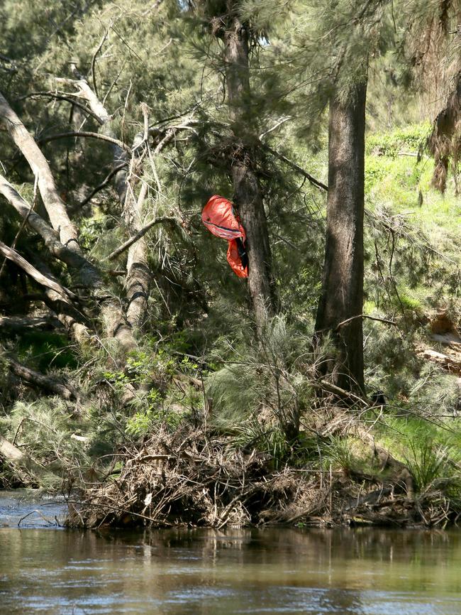
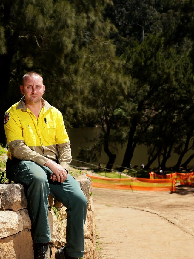
Acting senior field officer Chris Semmens said: “The debris was stuck about 8m up in the trees’’.
“A lot of chainsaw work had to be done,” he said.
“I think the last flood of this type happened before I was born,” the 34-year-old said.
Up to half a metre of silt and sand had to be removed, along with fallen trees and debris trapped high in tree canopies.
Mr Elwood said the grass would grow back in about six weeks in the fenced off areas.
He said there was lots of space already available for camping and picnics.
“With the warmer weather fast approaching we are pleased to reopen this site.
“The flood waters from June’s devastating east coast low caused significant damage to park infrastructure including the Bents Basin Road carpark, internal access tracks and amenities.
“This damage generated a safety risk which is why the park was closed and allowed for clean-up work.”
He said the recorded flood water was the highest flood level known by NPWS in the past 25 years in the park.

“Flood water peaked at least two metres over the Bents Basin Road carpark. The road was under water and impassable between the Bents Basin office and the campground and between the campground and Durrawi Picnic Area.
“Now that the clean-up work has been completed, the campground and both picnic areas are open at Bents Basin State Conservation Area.”
He said the recreational area was perfect for relaxed picnics or walks in stunning native bushland setting with great campsite and picnic facilities close by.
For more information on Bents Basin State Conservation Area visit national parks.nsw.gov.au
IN OTHER NEWS — Farmer Captures ‘Tornado’ Heading for Blyth During SA Super Storm
POWER is slowly being restored to residents in South Australia after a super storm caused a state-wide black out on September 28.

Chad’s Ark: Zookeeper fights to protect three parks from floods
Beloved zookeeper Chad Staples, who has three wildlife parks in Sydney, the Hunter Valley and on the South Coast, is fighting to stop floodwaters encroaching on his properties – and on his animal kingdom.
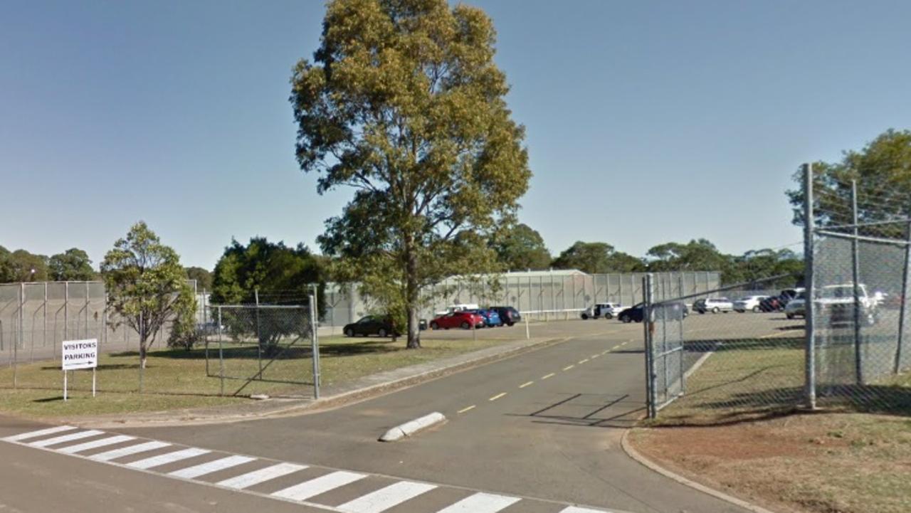
Prisoner pulled knife on inmate amid common room punch up
A prisoner in a notorious western Sydney correctional centre has been dealt with for instigating a fight with a fellow inmate in which he pulled a dangerous weapon.