
Parramatta Light Rail: New images of $2.4b network plan revealed
New images reveal how the $2.4 billion Parramatta Light Rail network will look and offer a ‘light at the end of the tunnel’ following the construction upheaval.

Parramatta
Don't miss out on the headlines from Parramatta . Followed categories will be added to My News.
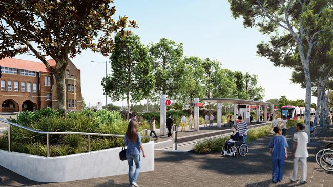
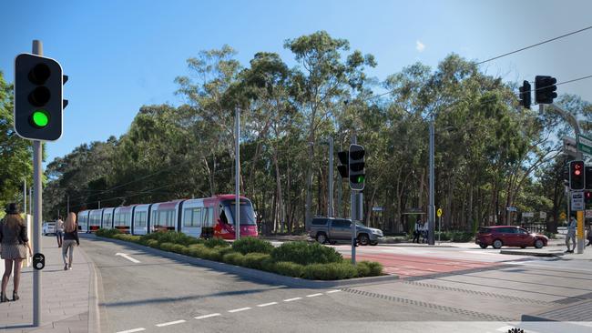
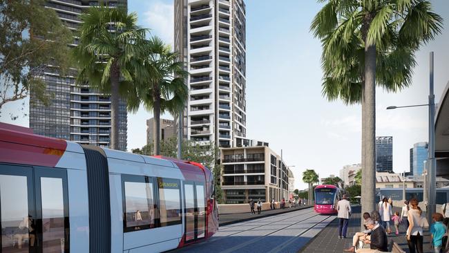
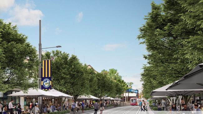
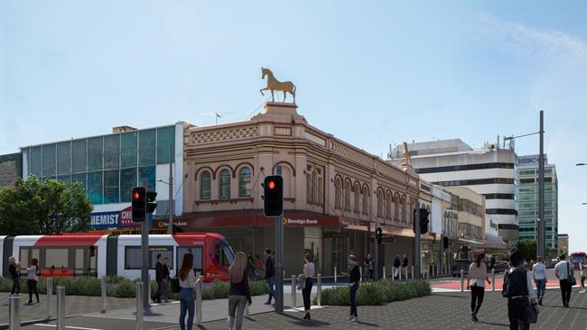
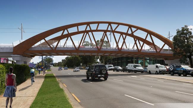
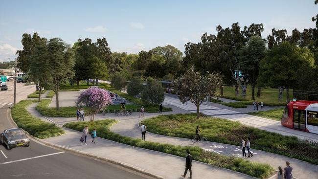
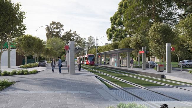
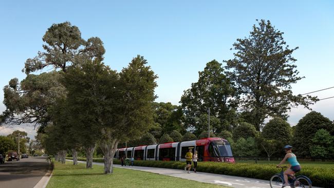
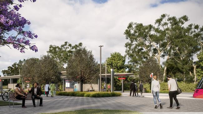
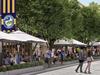
From the $8 billion Westmead health precinct to Parramatta’s dining strip and to booming residential developments in Carlingford and Telopea, new images reveal how the light rail will look along the 12km network.
The line, which runs from Westmead to Carlingford, is slated to open in 2023, and will feature cycling and walking paths running parallel to the trams.
Parramatta state Liberal MP Geoff Lee said the images offered a glimpse of how greater Parramatta would be revitalised by modern, frequent light rail and transform spots “that have been crying out for attention for a very long time”.
“We know construction work can be disruptive,’’ he said.
“These images point to the light at the end of the tunnel and show it will be worth the wait.”
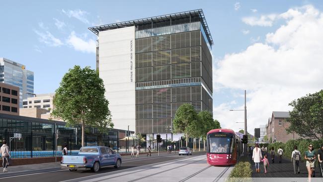
The line begins at Westmead, the centre of Australia’s largest health precinct that will attract 50,000 workers by 2036.
More than $8 billion will be poured into the suburb, which will have three stops — Westmead Light Rail, where customers will alight for Westmead train station, Westmead Hospital and Gurung, which is near The Children’s Hospital at Westmead.

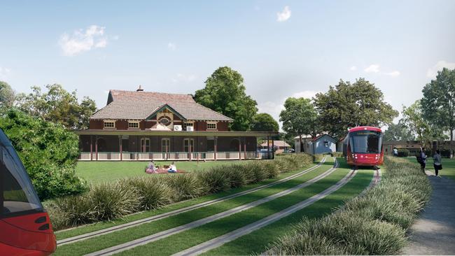
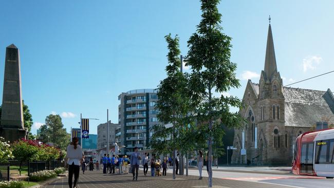
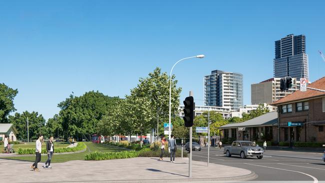
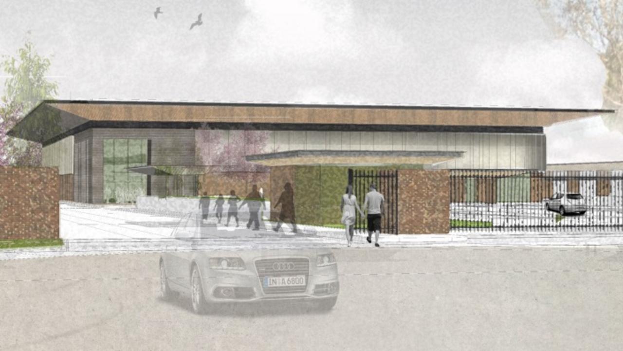
The fresh artist impressions showcase a first look of the light rail at the Cumberland Hospital Precinct, which will be home to the Sydney University campus, where more than 25,000 students and 2500 staff are forecast to attend by 2055.
The concept designs also show The Tramway Avenue stop, which is named after the route where trams ran from the former Duck River tramway from 1883 to 1943, and the alignment between Carlingford and Camellia, where the T6 trains ran until January 2020.
Mr Lee said the images reflected the level of community feedback that went into the
design of the light rail network ahead of construction.
“These pictures tell the story of a modernised Parramatta of the future, where public
transport is seamless and convenient — a vision for the community to look forward to
when the Parramatta Light Rail opens in 2023,’’ he said.
But the project has been far from seamless and has drawn a groundswell of opposition from the beginning.
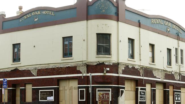
The community fought unsuccessfully to save the light rail rerouted so the historic, 207-year-old Royal Oak Hotel at Parramatta could remain but it was bulldozed in May, with just the Cobb & Co Stables spared from demolition.
Restaurateurs along the Church St dining strip and Parramatta Council are in constant tussles with Transport for NSW over the dust and noise the rail has caused, and a huge loss of alfresco dining spaces along Eat St.
The decision to have trams run through Cumberland Hospital also drew the ire from staff at the mental health facility, who are outraged the line will be built near 250 patients, many who have depression and schizophrenia.
At Robin Thomas Reserve, Parramatta, elegant crockery and convict-built relics from the 1790s and 1830s were discovered in September. The government’s handling of heritage fuelled the public’s concerns it would fail to preserve the items but the government said it would.
East of Parramatta, the government’s failure to commit to building stage two of the light rail has been slammed by business chambers and residents including those from high density suburbs of Wentworth Point and Sydney Olympic Park who are starved of infrastructure.
WE’RE STILL HERE FOR YOU
We’re still here for you. For trusted news that matters, and to support local journalism, go straight to the source:
● Visit parramattaadvertiser.com.au
● Get local news direct to your inbox. Search and sign up for the Parramatta Advertiser here: https://www.newsletters.news.com.au/dailytelegraph
● Find us on Facebook and Instagram
MORE NEWS
More Coverage
Parramatta Light Rail: Calls for stops to be named after accomplished women

Crazy resemblance between this rugby hopeful and rugby star
He hails from one of the least likely places to produce a rugby talent and only playing because of a mixup. But this Sydney 1st Colts and Tane Edmed lookalike has big goals in the game
Brethren sect goes public with plans for $109m mega church
A secret brethren church which made headlines this week for backing Liberal candidates on the pre-election campaign trail have released plans to build a $109m mega church catering for up to 3500 people at a riverfront Sydney site.