
North shore roads to receive separated cycleways under plans to improve safety
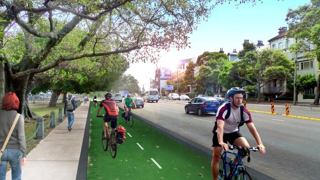
A new bike path would be added along the Pacific Hwy through the lower north shore under plans to connect missing links in the region’s cycle network.
- Chatswood Chase reveals $403 million expansion plan
- Calls for upgrade to Lane Cove’s ‘worst intersection’
A new bike path would be added along the Pacific Hwy through the lower north shore under plans to connect missing links in the region’s cycle network.
Lane Cove Council has released a list of roads it wants to add to the local bike network in a move to improve cyclist safety and encourage residents to travel on two wheels, rather than four.
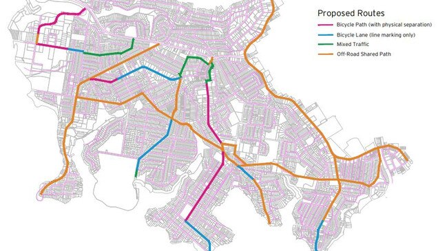
There are nine routes proposed including a mix of separated cycleways, mixed traffic paths and an off-road shared route along the western side of the Pacific Hwy between St Leonards and Chatswood. Willoughby Council has similar plans for the eastern side.
The $2.9 million proposal also includes a cycleway along River Rd with connections to Greenwich Wharf, the Lane Cove town centre and Longueville Wharf.
Regular cyclist and Naremburn resident Carolyn New, a member of Bike North, said the bike path along the Pacific Hwy would provide a safety increase for cyclists.
“Having the path off the highway is critical and it would encourage cyclists who would otherwise look at the highway and say ‘there’s no way I’m going down that’,” Ms New said.
“You’d still probably get the road warrior-type cyclists who want to use the highway but it would really benefit new or casual cyclists.
“At the moment it’s not a place where most people want to go mainly because of safety.”
The plan comes after a survey by the council of more than 700 residents showed 48 per cent of respondents felt comfortable with riding a bike in the region. There were 33 crashes involving cyclists in the council area from 2013 to 2017.
A quarter of respondents listed safety as the primary factor for not cycling, while 34 per cent listed distance.
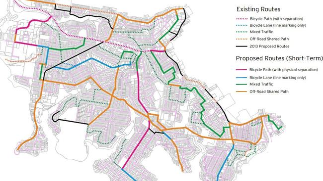
A study commissioned by the council found the new routes would address the “lack of coherence” in the existing network which “discouraged inexperienced and less confident cyclists.”
Other proposed routes include separated cycleways along Longueville Rd between Lane Cove and River Rd.
Another is planned through the Lane Cove Business Park from Mars Rd and Epping Rd.
The plan includes short and long options to complete the routes within five years.
The proposal is due to open for community feedback later this year.
THE ROUTES
Pacific Highway – between Mowbray Rd and Oxley St
Longueville Rd, Kenneth St and Stuart St – between Epping Rd and Longueville Wharf
Birdwood Ave, Coxs Lane, Burns Bay Rd – between Longueville Rd and Centennial Ave
Centennial Ave and Burns Bay Rd – between Epping Rd and Burns Bay Rd Bridge
Penrose St, Bridge St and River Rd – between Burns Bay Rd and Oxley St
Greenwich Rd – between Pacific Highway and Greenwich Point Wharf
Northwood Rd – between River Rd and Northwood Wharf
Tambourine Bay Rd – between Burns Bay Rd and Tambourine Bay Park
Lane Cove Business Park – between Mars Rd and Epping Rd
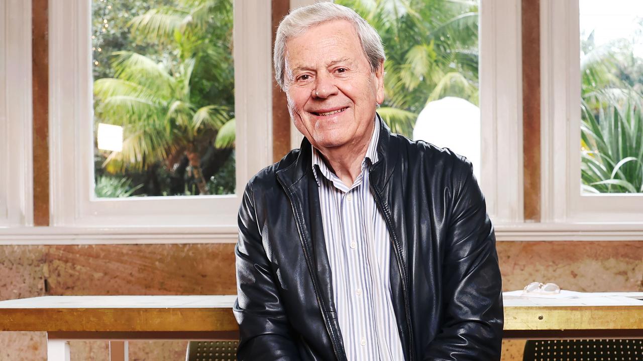
Ray Martin splurges on $4.3m home, pockets $4m
Media legend Ray Martin has scored a stunning new $4.3m home and pocketed $4m for his troubles too.
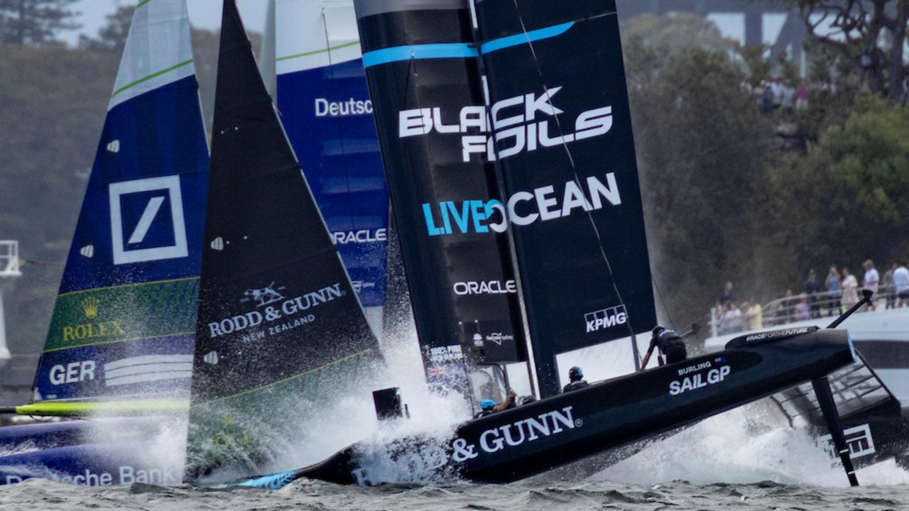
Aussie SailGP crew hit 93km/h but dodge drama, controversy and storm
Record penalties, flying starts, close calls, nosedives and cheeky moves – day one of the Sydney SailGP had it all and more. including one very happy Australian team.