
NSW Government outlines plans for 20,000 homes at Appin
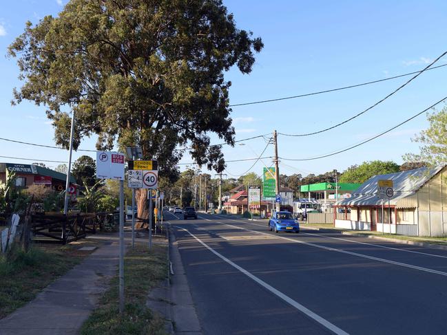
The once sleepy rural village of Appin in southwest Sydney will be transformed into an urban centre after the NSW Government revealed plans for 20,000 homes in the area by 2040.
The once-sleepy rural village of Appin in Southwest Sydney will be transformed into an urban centre after the NSW Government revealed plans for 20,000 homes in the area by 2040.
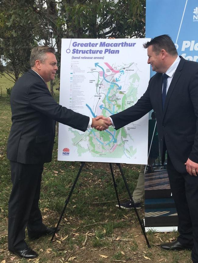
NSW Planning Minister Anthony Roberts released the Greater Macarthur 2040 Interim Plan yesterday, outlining the State Government’s vision for the future of the Macarthur region stretching from Glenfield to Douglas Park.
Over the coming weeks the Macarthur Chronicle will be taking an in-depth look at what this plan means for the future of your home.
Under the plan, Appin will be separated into two precincts, Appin and North Appin, with a total of 20,000 homes planned between the two areas.
At the 2016 Census, Appin had a population of 2633.
The land surrounding the existing village would bear the brunt of the forecasted housing, taking on 15,000 homes while North Appin, located between the village and Lendlease’s Gilead development on Appin Rd, will take on 5000 homes.
Development will take place around a transport corridor designed for two lanes of public transport and cycleways to link the new housing to the rail line at Macarthur and Douglas Park stations.
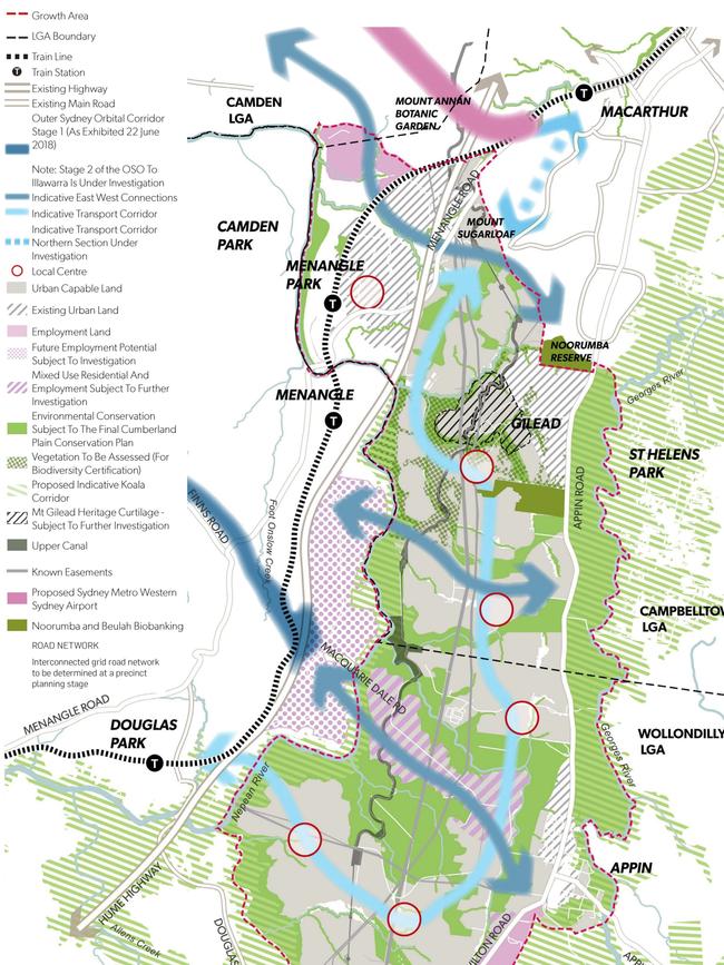
“Medium density housing, greater than 25 dwellings per hectare including smaller lots, terraces, medium density and multistorey development, would be located where feasible along a highly accessible transport corridor connecting Campbelltown, Macarthur, Gilead, Appin and Douglas Park,” the Greater Macarthur document states.
“Neighbourhoods further from the transport corridor would have lower densities as shown on the structure plan.
“Detached housing on small to medium-sized lots (350-700sq m) is expected to make up the majority of housing to meet the demand not supplied in the South West Growth Area.”
Alongside the Greater Macarthur 2040 document, Roads and Maritime Service has also outlined plans for the long-awaited upgrade to Appin Rd, which the document has earmarked to eventually be three lanes each way between Campbelltown and Appin.
The road will initially be upgraded into a dual carriageway, with the first section between Mt Gilead and Rosemeadow to be funded by the NSW Government Housing Acceleration Fund and Gilead developer Lendlease.
The second section between Mt Gilead and Appin will be funded by a $50 million package from the Federal Government which will also investigate a road to link Appin Rd and the Hume Highway.
Land east of Appin Rd will be protected to preserve a primary koala corridor.
“The objective for this area would be to facilitate its revegetation and ongoing conservation to maintain and protect the Wollondilly and Campbelltown koala populations,” the Greater Macarthur 2040 document states.

The State Government is currently developing a Special Infrastructure Contribution (SIC) fund which will provide $1.58 billion worth of infrastructure development to the land release precincts south of Macarthur station, including Menangle, Appin and Gilead. A SIC is a fund paid into by developers to provide for local infrastructure.
Included in the SIC funding for Appin is a permanent police station and permanently staffed fire station.

VOTE NOW: NSW local footy’s top cult hero
We’ve introduced you to more than 60 of the most enthralling cult heroes in NSW local footy. Now it’s time to have your say. VOTE for your favourite to be crowned the best in the state.

Hair today, stars tomorrow! City v Country passion, power, top shots
There were big hits and some hair-raising action – literally – at the 2025 City v Country junior rugby tournament. Check out some of the top shots.