NSW Floods: Hills Shire and Hawkesbury flood warnings, road closures, updates
Residents of low-lying parts of the Hawkesbury River have been urged to have an evacuation plan, as a rain deluge hits the Sydney’s northwest. Read the latest here.
Hills Shire
Don't miss out on the headlines from Hills Shire. Followed categories will be added to My News.
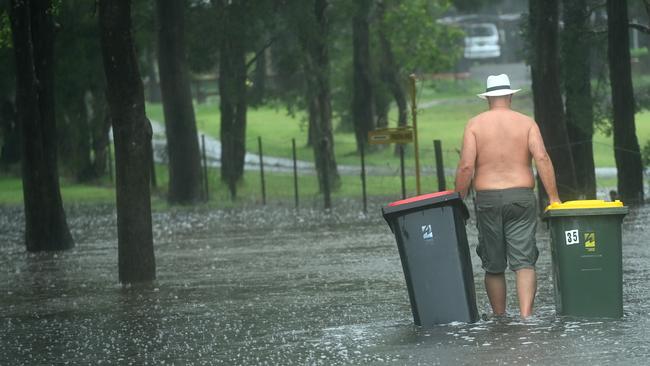
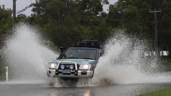
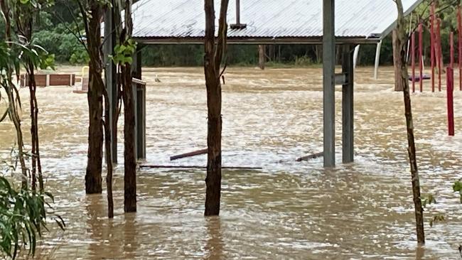
The Hills and Hawkesbury regions are battling heavy rains and flash floods as a ‘rain bomb’ hits Sydney.
The State Emergency Services (SES) are cautioning residents and fortifying flood-prone spots.
A SES spokesman said there was particular concern for Hawkesbury — with North Richmond Bridge set to close very soon.
“For residents in the low-lying parts of Hawkesbury … we are urging them to prepare to evacuate and have a plan — know your routes in and out,” he said.


The Hills Shire mayor Dr Peter Gangemi said it would be a few anxious hours for residents as the BOM announced the possibility of major flooding along the Hawkesbury River.
“The next 24 hours will be crucial for Hills residents, especially for those located in our low-lying areas and along the Hawkesbury River,” he said.
“I urge residents in these parts and those located close to streams and creeks to start activating their flood plans now. This means move any machinery or belongings to higher ground, prep your homes for the possibility of flooding and know your evacuation plan.
“Castle Hill Showground has transformed into an animal evacuation centre, and I’m proud that council can be of service and provide a temporary home for livestock and domestic pets escaping floods.
“I want to thank our emergency services and volunteers who have been working non-stop to stabilise homes, roads and carryout lifesaving rescues. The commitment they have for this community is unwavering – so thank you.”
The Hills Shire Council have closed a new set of roads in response to the rain bomb hitting this region.
These roads include: Wisemans Ferry Rd at Cattai Creek in Cattai, Cattai Ridge Rd at Cattai Creek in Maraylya, Terry Rd between Byerley St and Hedgewood Drive in Box Hill, Boundary Rd at Killarney Chain of Ponds in Box Hill, and Boundary Rd between Old Pitt Town Rd and Maguires Rd in Gables.
Bara Way Reserve, right near the Rouse Hill Town Centre, has also been hit hard by flash foods.

In response to today’s flooding, the Hills SES Unit has set up locations for flood-affected residents to pick up sandbags.
These locations are: 84 Watkins Rd, Baulkham Hills; 142A Old Pitt Town Road, Box Hill; 2654 Old Northern Road, Glenorie.
Due to the flood risk, Castle Hill Showground was opened to evacuated horses, livestock and domestic animals last night.
Those who are relocating their animals to the showground need to bring identification as well as adequate food and water. They must also remain onsite with their animals at all times.
Early today, The Hills Shire Council closed several roads due to flooding.
These roads include Cattai Ridge Rd, Glenorie; Blue Gum Rd, Annangrove; McClymonts Rd, Maraylya; Cattai Ridge Rd, Maraylya; 990-1027 and 2255-2275 River Rd, Leets Vale.
In a Facebook post, Mayor Peter Gangemi encouraged residents in flood prone Hills suburbs to be prepared.
“I encourage residents, especially those located in our northern regions … to begin actioning their flood plans, including moving machinery to higher ground and relocating livestock,” Mayor Gangemi wrote.
If you need assistance, please call 132 500. In a life-threatening situation, please call triple-0.
More updates to follow.


