
Here's what you can expect with tomorrow's Central Sydney weather
As summer moves towards autumn what can locals expect tomorrow? We have the latest word from the Weather Bureau.

HyperLocal
Don't miss out on the headlines from HyperLocal. Followed categories will be added to My News.
Tomorrow's forecast is mostly cloudy; possible shower; fresh s'ly winds.
The highest expected temperature tomorrow is 24, which is two degrees lower than today's max.
Warmer conditions are expected on four of the next six days, with the mercury climbing above today's maximum on Saturday, Sunday, Monday and Tuesday.
The chance of rain tomorrow is 60 per cent.
Showers are less likely Friday when the Bureau of Meteorology forecasts a medium (40 per cent) chance of rain.
The UV index is predicted to be 10. There is a very high risk of harm from sun exposure. Skin can be damaged and burn quickly in today’s conditions. Experts suggest avoiding sun exposure around noon and keeping to the shade. General advice is to use eye protection, sunscreen and cover up.
Winds will be south around 21 km/h in the morning shifting to south around 28 km/h in the afternoon.
Details for the next six days:
Thursday, February 20: Mostly cloudy. Possible shower. Fresh S'ly winds Min - 19. Max - 24.
Friday, February 21: Partly cloudy. Clearing shower. S'ly winds tending E'ly Min - 19. Max - 26.
Saturday, February 22: Mostly sunny. NE winds Min - 19. Max - 28.
Sunday, February 23: Mostly sunny. NW winds tending fresh NE Min - 18. Max - 30.
Monday, February 24: Mostly sunny. NE winds tending SE Min - 21. Max - 29.
Tuesday, February 25: Mostly cloudy. Showers, mostly morning. S/SE winds Min - 21. Max - 28.
The previous Central Sydney weather article can be viewed here.

Here’s what you can expect with today’s Central Sydney weather
As summer moves towards autumn what can locals expect today? We have the latest word from the Weather Bureau.
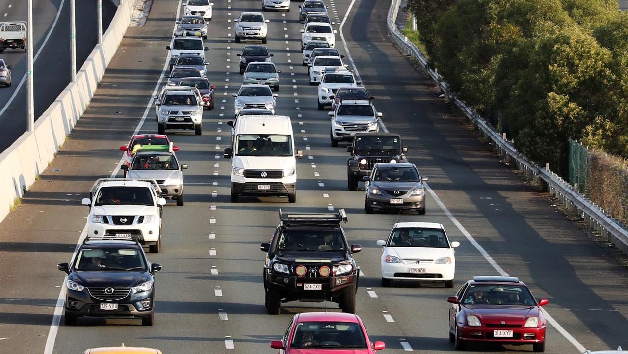
Check out the latest on Central Sydney roads
The daily commute is better with a little planning. Here's some roads it might be best to avoid today