Central Coast coronavirus by postcode, Gosford and surrounds among worst hit
For the first time we can reveal where the COVID-19 cases have presented down to each postcode. How safe is your suburb?
Central Coast
Don't miss out on the headlines from Central Coast. Followed categories will be added to My News.
- Coronavirus Central Coast: Cases soar past 100 as testing ramps up
- Central Coast coronavirus: Mingara Medical open drive-through testing facility at The Entrance
For the first time the Express Advocate can reveal which suburbs have been the hardest hit by the coronavirus and how your neighbourhood has been impacted.
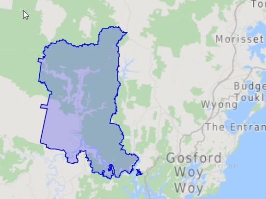
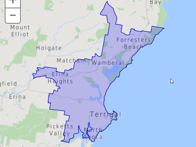
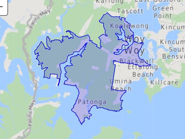
The area with the most cases at 26 is the postcode 2250, which covers the suburbs surrounding Gosford, including North, West and Gosford, Somersby, Springfield, Erina, Kariong, Niagara Park, Point Clare and out through Holgate, Glenworth Valley, Somersby and Mangrove Mountain.
The next worst hotspot on the coast is the postcode 2259 with 18 confirmed cases.
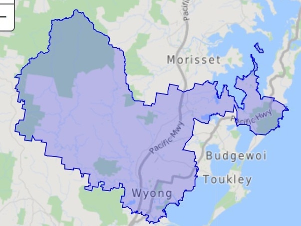
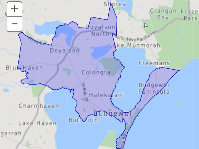
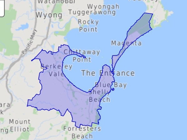
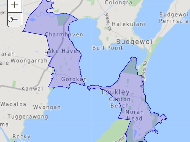
This postcode covers the suburbs from Tuggerah, Wyong, Kanwal, Hamlyn Terrace, Dooralong and out to Ravensdale.

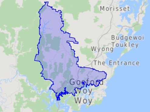
The third worst area is the postcode of 2251 with 16 confirmed cases and covers the areas of Green Point, Copacabana, Avoca, Saratoga and around to Bensville and Kincumber where a student was this week diagnosed with the virus.
However, looking at the population numbers of each postcode the 2251 area has the highest per percentage of cases with 0.05 per cent, compared to 0.04 per cent in the 2250, 2260 and 2262 regions.

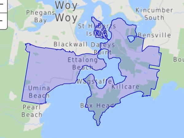
The first Central Coast case was diagnosed on March 11 in the 2257 postcode, which spans across Umina, Empire Bay, Killcare and Wagstaffe.
Diagnosis clusters have also emerged in the data, with five people being diagnosed on both March 24 and March 27 in the Gosford 2250 area.
Five people were also diagnosed with the virus on March 28 in the 2251 area.
NSW Health’s latest figures indicate the Central Coast now has 104 confirmed cases, with 4281 tests completed across the region.
CONFIRMED CASES BY POSTCODE
2250 – 26
2259 – 18
2251 – 16
2260 – 10
2257 – 9
2262 – 8
2261 – 7
2256 – 5
2263 – 3
2258 – 0

2775 – 0