
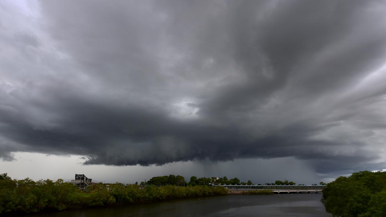
Another thunderstorm is set to descend over Townsville city
More thunderstorms are heading towards Townsville.

Townsville
Don't miss out on the headlines from Townsville. Followed categories will be added to My News.
UPDATE 6.05PM
More sudden thunderstorms are heading Townsville’s way.
Another weather system is again moving from the south and the heaviest rain is expected to fall over Mount Stuart and Alligator Creek.
Light rain is also expected around the Thuringowa area.
There are reports that the storms have intefered with TV signals across the region.
EARLIER 2.15PM
Sudden thunderstorms which could bring heavy rainfall are approaching Townsville.
The weather system is moving from the south, with the heaviest rain expected to over Mount Stuart.
Alligator Creek and Giru to the south could also be hit by heavy rain.
There are slight to medium chances of more showers expected from tomorrow to the weekend.
Temperatures are expected to reach a top of 35C on Friday, cooling slightly at the weekend.
Townsville weekend forecast:
Friday: 35C/26C. Slight chance of rain in the evening.
Saturday: 33C/26C. Medium chance of showers and chance of thunderstorm in the evening.
Sunday: 34C/25C. Partly cloudy.
Originally published as Another thunderstorm is set to descend over Townsville city