
School holiday weather: Make the most of the long weekend, showers to return next week
The Labour Day long weekend will bring sun and warmer temperatures, but umbrellas could be out by this time next week. Check out the forecast.
SA News
Don't miss out on the headlines from SA News. Followed categories will be added to My News.
Adelaide will begin to thaw out this weekend as temperatures move into the 20s for the first days of the school holiday break, but it won’t last.
Footy fans will be happy to know the weekend will kick off with a top of 20C for the historic first-ever AFLW Showdown on Friday night.
The warmer temperatures continue throughout the long weekend with a top of 22C forecast for Saturday, followed by 23C on Sunday and 24C on Monday.

Temperatures will increase through the mid-north with Port Augusta forecast to reach 30C on Monday.
The south of the state will have to wait longer as forecasts predict temperatures won’t surpass 22C until Monday in Victor Harbor and Mount Gambier.
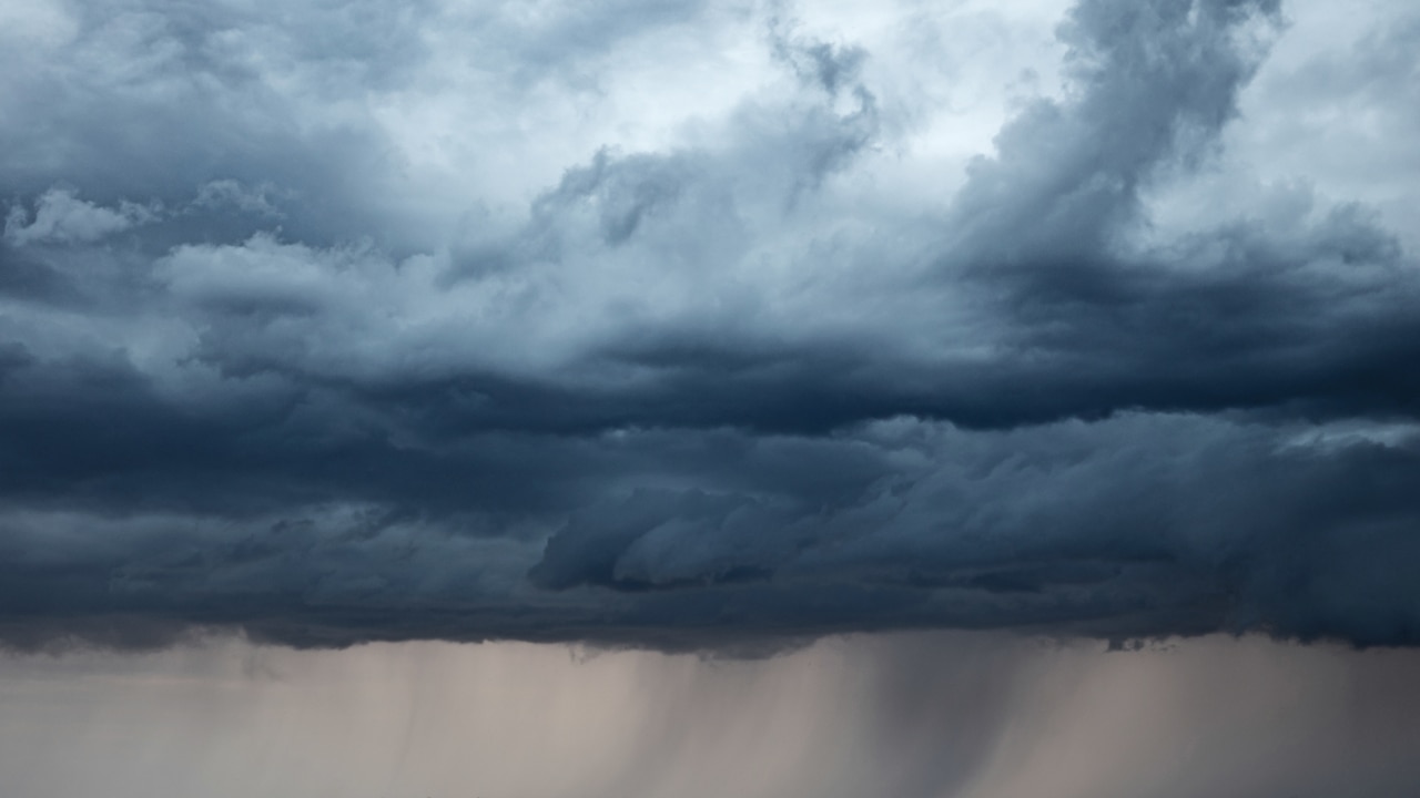
However, the sunny skies will be short lived.
As early as Tuesday, showers will creep back in to forecast throughout the state and could continue through to Thursday, despite temperatures forecast to reach 27C in Adelaide and 32C in Port Augusta.
MAPPED: SA day trips within 150km of Adelaide this long weekend
Bureau of Meteorology forecaster Jenny Horvat told ABC Radio the head of the next change will be on Monday.
“We’ve got another one of these troughs and low pressure systems coming from the west,” she said.
“The wet conditions will return on Tuesday with quite a few shelves around.
“Our next system will come through on Thursday, but we’ve got a bit of uncertainty with the timing on this one.”
Senior forecaster Thomas Boeck previously said September temperatures have been significantly below average which is conducive to a La Niña and Indian Ocean Dipole weather pattern.
A negative IOD typically increases the chance of winter and spring rainfall over much of southern and eastern Australia
Brought about by ongoing changes in the difference between sea surface temperatures of the tropical western and eastern Indian Ocean, the climate phenomenon influences rainfall patterns around the Indian Ocean.
“The combination of these weather events means you end up with a potential for more clouds and precipitation over the state,” Mr Boeck said.
“Because of that the daytime temperatures tend to be milder because there’s more clouds and showers.”
More Coverage


Originally published as School holiday weather: Make the most of the long weekend, showers to return next week

Inquest begins into death of mum ‘eaten by dogs’
Lasonya Dutton’s decomposed body was found just metres from her family’s kitchen window, sparking a years-long quest for answers. Now, the coroner has stepped in.

Traffic chaos on freeway after multi-car smash
A three-car crash on the city-bound side of the South Eastern Freeway at Aldgate caused major delays for commuters on Tuesday morning.