
Cold temperatures grip South Australia after 104km/h wind gusts and heavy rainfall
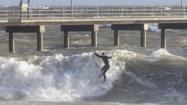
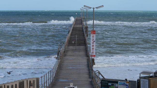
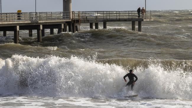
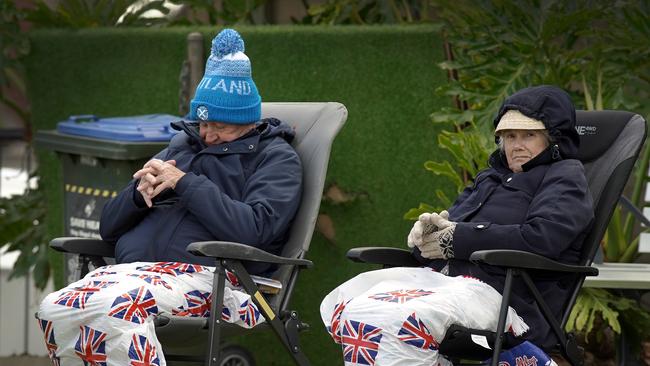
The worst of the wind and the rain may have moved on after wreaking havoc, but SA is now in the grips of an extreme chill bringing the coldest temperatures of the year by far.
SA News
Don't miss out on the headlines from SA News. Followed categories will be added to My News.
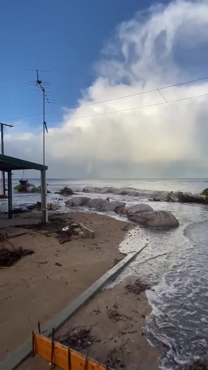
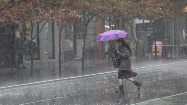
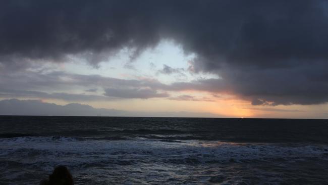
Heavy rain and powerful winds have largely moved on from South Australia, but a deep chill is being felt across the state.
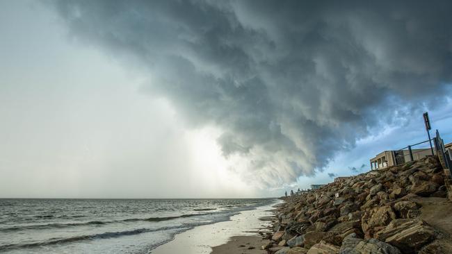
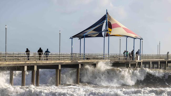
Strong winds hit parts of SA on Saturday and overnight as a complex low-pressure system moved over the Southern Ocean.
A severe weather warning issued by the Bureau of Meteorology for damaging winds across much of the state, including the Adelaide metropolitan area, has since been cancelled.
But that wasn’t before Hindmarsh Island clocked a 104km/h wind gust on Saturday afternoon. Cape Willoughby on Kangaroo Island registered 98km/h andAdelaide Airport had a 94km/h gust.
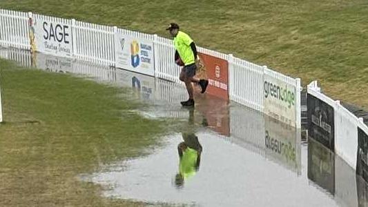
SES crews were kept busy with over 30 incidents on Sunday morning, as volunteers responded to weather-related incidents acrossthe state.
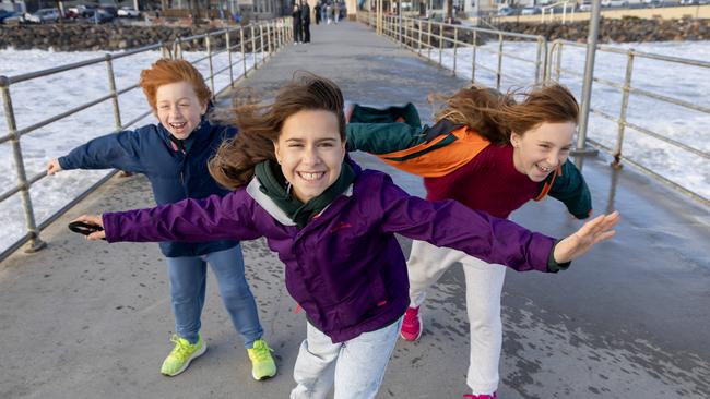
Adelaide is forecast to reach a frigid maximum temperature of 13C on Sunday as an icy chill moves in. That would mark our coldest day of the year by more than 2C.
Rainfall totals across the state since the cold front moved in on Friday include 26mm in Adelaide, 51.2mm at Mt Lofty, 15-20mm on the Yorke Peninsula, 10-25mm across the Mid North, 30-50mm in the South-East, 10-15mm on Eyre Peninsula and 6.6mm at Renmark in the Riverland.
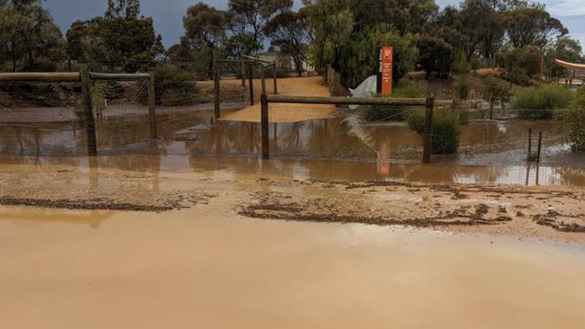
The wild weather forced the Monarto Safari Park to close its doors to visitors on Sunday.
“When the weather is wilder than we are, we have to prioritise the safety and welfare of guests, staff and animals – always,” the zoo posted on social media.
“We appreciate your understanding and look forward to welcoming our members and guests back as soon as we can do so safely.”
The Big Rocking Horse in the Adelaide Hills, was also forced to shut on Saturday with wild weather wiping out the attraction’s power.
Bureau of Meteorology senior meteorologist Sarah Scully said the state could expect similar weather this week, with conditions easing off on Monday and Tuesday, before picking back up on Wednesday and Thursday.
A shower or two is forecast for Adelaide for both Monday and Tuesday, with a high of 16C
It comes after wild weather lashed the Fleurieu Peninsula late last week, with Sealink ferries cancelling services to and from the mainland.
“It does look like there is potentially another frontal system that might bring another burst of showers on Thursday,” Ms Scully said.
“The majority of them will be about coastal parts of southeastern South Australia and the elevated parts again.
“And then, this is obviously a bit far out, but it looks like next weekend there will be another low-pressure system bringing some more showers next weekend and cold weather, and gusty winds for Adelaide and the southeast.”
In the mid-north, Ms Scully said showers were expected to creep as far north as Port Augusta and Hawker after Thursday, but said it did not appear to be heavy rainfall.
More Coverage


Originally published as Cold temperatures grip South Australia after 104km/h wind gusts and heavy rainfall
Join the conversation

‘Heavy breathing’ creep sentenced over shock acts
A pervert who indecently filmed a woman and child on multiple occasions is behind bars after police uncovered his sinister secret. Find out what it was.
Read more

Police fears for three young boys missing for weeks
Police have concerns for the welfare of three young children – aged just three, one and a three-month old baby – who have been missing for more than two weeks.
Read more